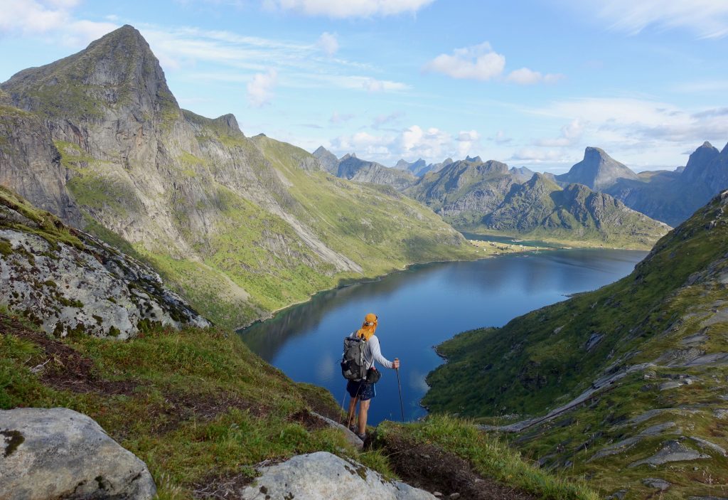
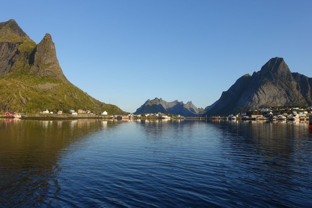
Just off the coast of northern Norway in the Arctic Circle lies a legendary archipelago by the name of Lofoten. A combination of deep fjords, windswept beaches, jagged peaks and picture-postcard villages, its staggering beauty has long been celebrated in art and literature, and in more recent times, seemingly every second landscape photographer’s Instagram account. While its unparalleled beauty is by no means a secret, there is still a way to escape most of the crowds and experience the Lofoten’s wonders in comparative solitude. It’s called the Long Crossing – a 160 km (99 mi) hiking route through the spectacular heart of the island chain.
Greg “Malto” Gressel and I hiked the entire Long Crossing (plus side trips) over seven days in late September 2018. Click here for a detailed gear list from the journey.
At a Glance
Origins – The idea for the “Long Crossing” is from the team at Rando-Lofoten. This excellent website is a goldmine for all things hiking in the archipelago.
Distance (11 Stages): 160 km (99.4 mi) – Our seven-day journey ended up being approximately 190 – 200 km (118 – 124 mi), as we also included side trips, some connector road walks, and most notably an overland link between stages 9 and 10 (see Alternates for details)
Average Duration: 11 days.
Difficulty Level: Moderate to difficult
Start / Finish:
- Village of Å (south)
- Delp (north)
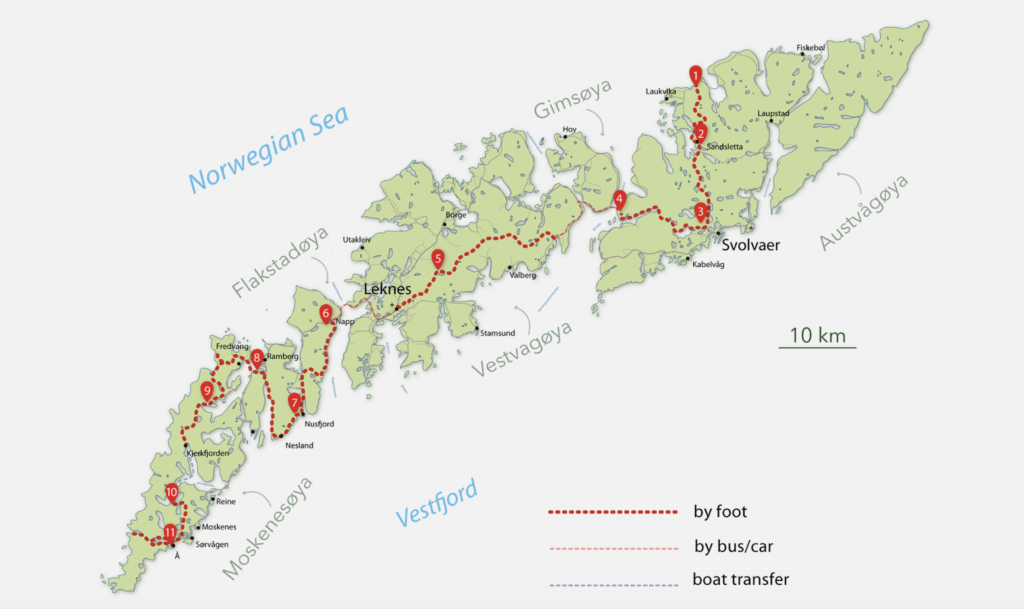
Overview map of The Long Crossing (Rando-Lofoten)
Which Direction?: I don’t think it makes much of a difference. The Rando-Lofoten site describes the hike from north to south, however, we chose to go the other direction. Why? Simply because it worked out better for us with the ferry schedule from Bodø (See Getting There & Away).
Total Elevation Gain: 9,193 m (30,161 ft)
Highest Point: 1,029 m (3,376 ft) – The summit of Hermannsdalstinden Peak – a not-to-be-missed side trip from the main route during stage 10.
Lowest Point: Sea level.
Getting There & Away:
- Accessing the Lofoten Islands: The principal gateway to the Lofotens is the town of Bodø, which is serviced by daily flights from Oslo. From Bodø you can catch one of the regular ferries to either Svolvaer (closest town to the northern terminus) or Moskenes harbour (closest access point to the southern terminus). See torghatten-nord.no for ferry information.
- Village of Å (southern terminus): From Moskenes harbour its a gentle 5km (3.1 mi) road walk along the E10 to/from the southern terminus in Å. Alternatively, you can take bus #18-742. See reisnordland.no for bus information.
- Delp: According to Rando-Lofoten website: “Take line 18-749 from Svolvær in direction of Liland, stop at Jordness Kryss (20 min). Wait there and take the bus 18-733 in direction of Laukvik, then stop at Straumsnes Vest. Walk until the start (or finish) of the hike.” For bus times, see reisnordland.no.
- For an informative overview of transport options for the Lofoten Islands, check out the excellent 68north.com.
Season:
- Mid-June to late September.
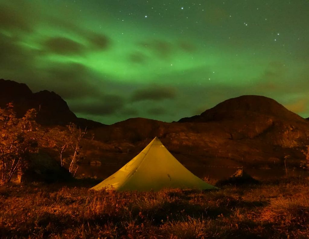
- Malto and I chose to do the hike in late September/early October. This meant shorter days and an increased chance of precipitation, however, we decided it was worth it for the possibility of seeing the Aurora Borealis (Northern Lights). It turned out we were lucky on both counts. We had fine weather for roughly six out of the seven days, and were treated to Mother Nature’s mesmerizing light show during the final couple of nights of the trip.
Planning Information
- GPS Data: GPS info for all 11 stages can be found on the Rando-Lofoten website. We printed out maps for the route, in addition to having the GPX track on our phones (Gaia GPS app). Note: See the Route / Conditions section below for information on our overland link between Stages 9 and 10
- Overview Map: Apart from the stage maps mentioned above, we also carried a 1:100,000 overview map (#2549) of the Lofotens from Turkart. This popular sheet is widely available in bookshops, outdoor stores and tourist offices in Bodø and the Lofoten Islands.
- Guidebooks : We made do with the aforementioned items along with some basic planning information listed on the Rando-Lofoten site. For folks looking for something more, Rando-Lofoten have put out a paperback guidebook – Hiking in the Lofoten Islands – which contains detailed trekking notes for the route, in addition to beta on more than 60 day hikes throughout the archipelago.
- Additional General Information: I had a Kindle version of Lonely Planet’s latest Norway travel guidebook on my phone.
- Online Beta: Apart from Rando-Lofoten, one of the best resources for exploring the archipelago on foot is Cody Duncan’s amazing website, 68north.com. Apart from useful logistical information, Duncan’s photos are among the best I have seen from the storied archipelago. They are so good in fact, that some of them are featured in the second of my Wanderlust books, The Hidden Tracks!
- Permits: No permits are required to hike in the Lofoten Islands.
- Language: Norwegian. With the possible exception of folks that are over 60, pretty much everyone you meet in the islands speaks English. That said, as a sign of respect for your hosts I highly recommend learning some basic pleasantries in the local tongue.
- Cell/Mobile Coverage: There is coverage in all of the villages, and most of the route’s high points.
- Long Crossing Planning Summary: I’d recommend the following course: 1. Read through this article; 2. Download the GPS info from Rando-Lofoten; 3. Consider picking up their guidebook; 4. Check out Coby Duncan’s website for visual inspiration, and; 5. Upon arrival in Bodo, purchase the 1:100,000 overview map listed above (or order online before you go).
- Gear List: Click here for a detailed gear list from the journey.
- Resupply: You won’t go hungry on the Long Crossing. We never had to carry more than a day or two’s food at any one time. See the stage summaries on the Rando-Lofoten website (or guidebook) for resupply details. During our seven day hike we picked up food at the following locations: Stage 2 – Sandsletta Camping (restaurant / shop); Stage 5 – Leknes (town); Stage 6 – Nusfjord village; Stage 7 – Ramberg village; Stage 9 – Vindstad (regular ferry service to scenic village of Reine, which has multiple food and accommodation options); Stage 11 – Village of Å.
- Water: Ample. We never had to carry more than one or two liters at any one time. On the purification front, neither of us treated water during the hike, nor did we experience any intestinal issues.
Route Notes:
Overview:
The Long Crossing of the Lofotens is one of Europe’s most spectacular trails – a combination of yawning fjords, hidden coves, serrated peaks and colourful fishing villages. Although for the most part unmarked, in clear weather the route is not difficult to follow as there are plenty of distinctive natural features that act as reference points for orientation. It can be a different story when its rainy and foggy, so be sure to keep track of your location at all times. Terrain-wise the going is often steep, muddy and exposed, but the otherworldly vistas provide more than ample compensation for your efforts.
How Long will it take?:
In the “At a Glance” section above, I mention that the average Long Crossing hiker will take 11 days to complete the route. This is the time suggested on the Rando-Lofoten website, and I think it’s more or less on the money for most folks. However, as is the case with almost all multi-day treks, the amount of time needed to complete the Long Crossing can vary greatly depending on a number of factors. Fit and experienced hikers that are carrying a light pack and who have a decent run with the weather, can comfortably do the the route in seven to nine days with plenty of time leftover for side trips.
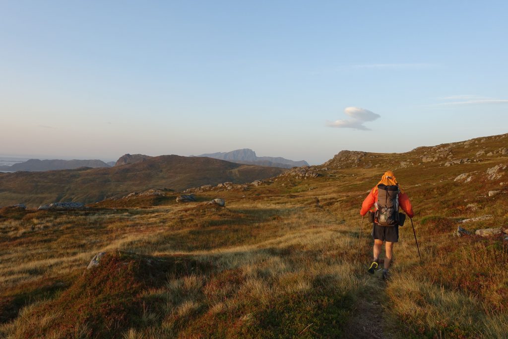
Malto striding out at dusk during the fifth stage. Note the MLD Burn backpack and orange Patagonia Houdini windshirt – he has used both items on every hike we have done together over the past eight years!
Highlights:
My favourite stages on the AV1 were as follows:
-
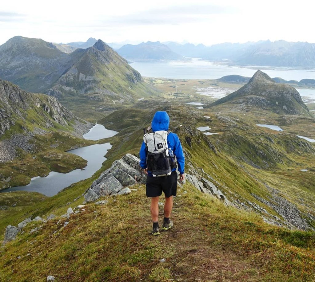
- Stage 1 – Delp to Sandsletta – Featuring a spectacular and very exposed ridge walk north of Matmora Peak.
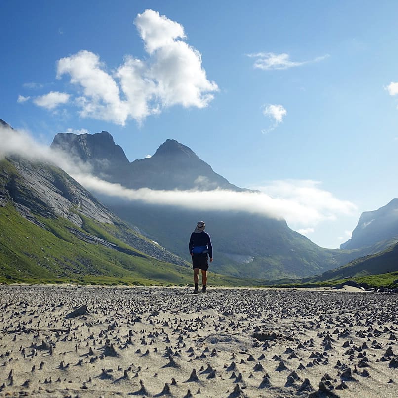
- Stage 9 – Selfjord Bay to Forsfjorden Fjord – Including the side trip to Horseid Beach. Be sure to go for a dip in the Arctic waters!
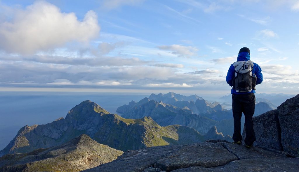
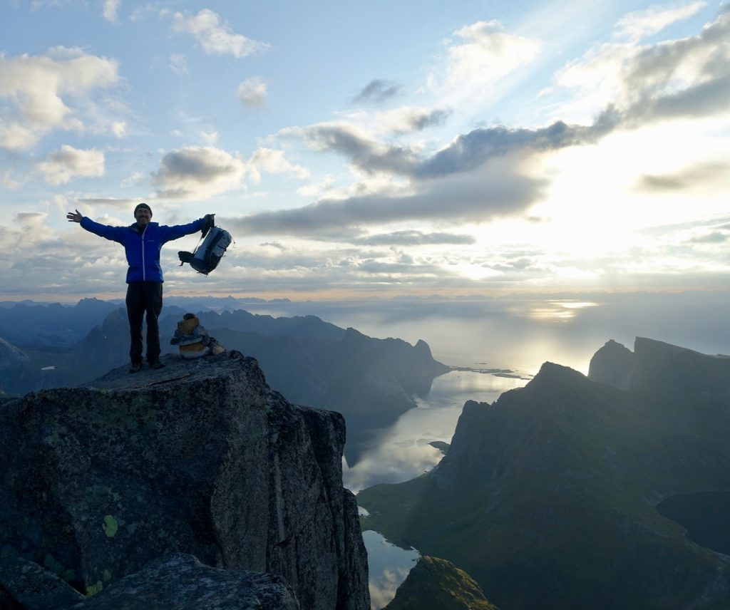
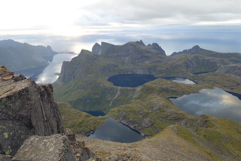
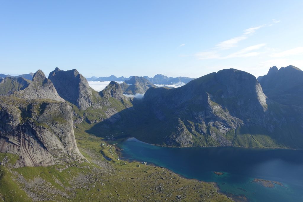
- Stage 10 – Forsfjorden to the village of Å – Featuring a side trip to the summit of Hermannsdalstinden Peak, which affords arguably the finest 360° panorama in the entire archipelago.
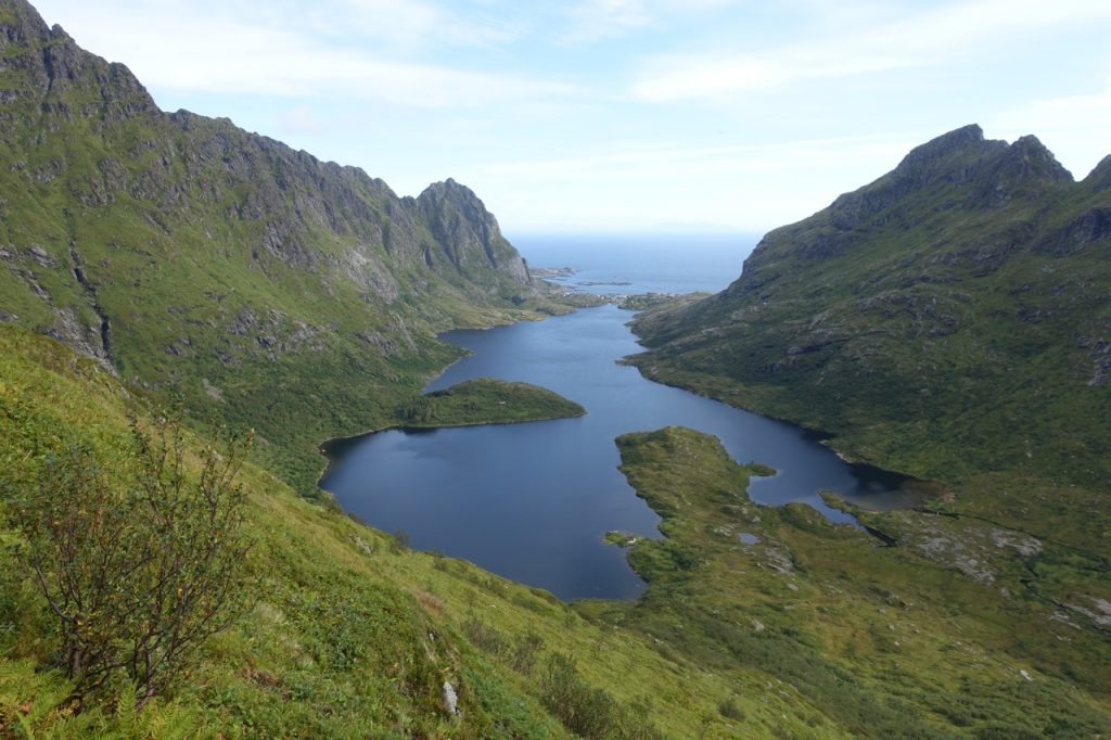
- Stage 11 – Out and back across the island from the Village of Å, via Agvatnet and Stokkvikvatnet lakes.
Lowlights:
Out of geographic necessity, there is some roadwalking involved on a few of the stages. It is possible to hitch or take buses during these sections (see Rando-Lofoten stage descriptions for details), however, we decided to hike them with the exception of the segment between Napp and Leknes (which includes a non-pedestrian tunnel that goes under the sea). Although walking on pavement is never ideal, we didn’t encounter too much in the way of traffic, and there was generally a pretty wide shoulder so that it never felt dangerous.
Alternates
Apart from worthy side trips to Hermannsdalstinden Peak, Helvetestinden Peak and Horseid Beach, there were two principal points at which we diverged from the standard Long Crossing route:
Stage 2 & 3 – Olderfjorden
The route described on Rando-Lofoten swings south toward the town of Svolvaer. As we were already carrying sufficient supplies, we decided to take the path less travelled from the junction at the end of Olderfjorden (68°15.7872’N, 14°23.2307’E). From this point we continued ENE up the valley. The trail was boggy, soggy, overgrown and disappeared and reappeared with regularity. All that said, the scenery was impressive and it proved to be an enjoyably challenging section. We linked back up to the standard route at Bothnvatnet lake (68°17.2426’N, 14°30.2077’E).
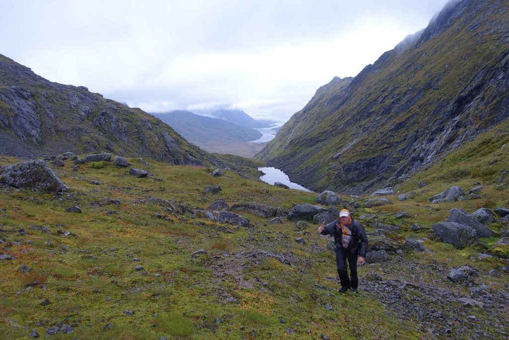
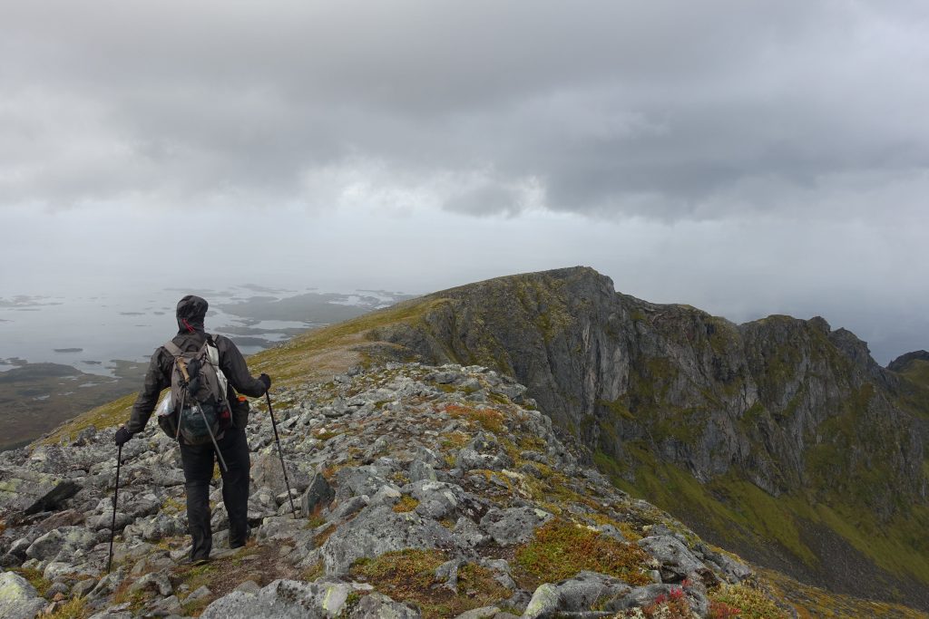
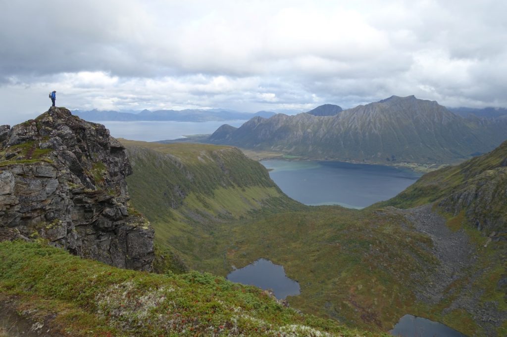
Stage 2 & 3 Alternate – Ascending from Olderfjorden on the sixth and penultimate day, we experienced our first sustained period of inclement weather during the hike.
Overland Link between Stages 9 and 10:
The folks at Rando-Lofoten suggest you take the ferry between Kjerkfjorden and Forsfjorden. This is due to a steep, and potentially dangerous stretch located between Vindstad and Kjerkfjord. Although I completely understand their omission, both Malto and I are very experienced in technical terrain, so we decided to investigate the section for ourselves.
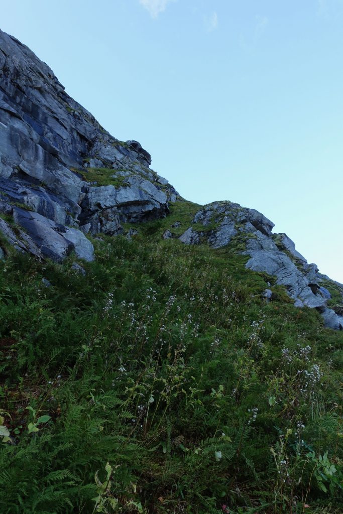
The specific segment the Rando-Lofoten team are referring to begins at the saddle SE of Helvetestinden Peak (a must-do side trip). It is undeniably precipitous in parts and in wet weather could be extremely slippery. However, if you are sure-footed, have a good head for heights and are carrying a lightweight load, I think it’s within the capabilities of most strong and seasoned backpackers. Hiking from Vindstad to Kjerkfjord, you will begin dropping from the saddle at 67°58.6197’N, 12°59.7817’E, and descend in a NE direction, eventually reaching flat ground at around 67°58.8192’N, 13°0.2269’E. For much of the way down there is a faint trail that is sporadically cairned.
Although I personally didn’t find this section to be overly difficult, Rando-Lofoten don’t recommend it for a reason. The sheer and rugged nature of the terrain means that it is suitable only for seasoned hikers in fine weather. Before deciding to give it a try, consider whether or not you have the requisite experience. If you aren’t sure, take the ferry.
Note that the second part of the connector section linking stages 9 and 10 is a completely different story. Stretching between Vindstad and the power station at Forsfjorden, this segment consists of an easy to follow, undulating trail which skirts the eastern side of the fjord. It is suitable for hikers of all levels of experience.
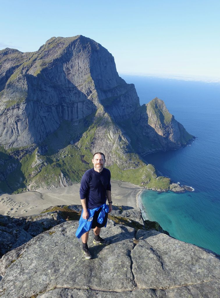
During the connector section between stages 9 and 10, I took a well worthwhile side trip to the summit of Helvetestinden Peak.
Sleeping
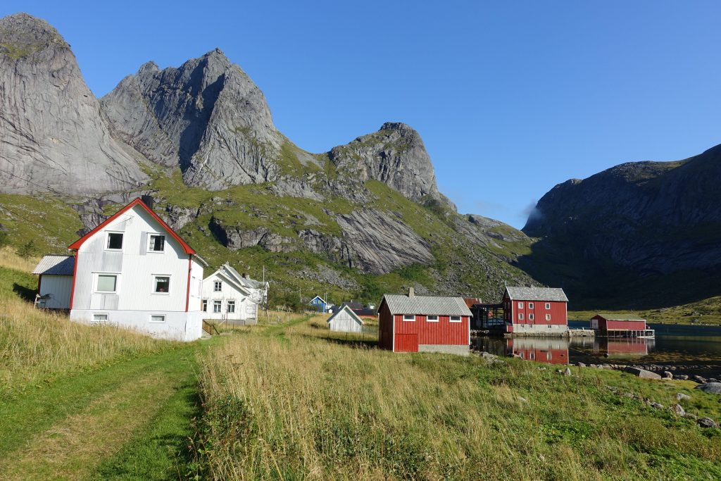
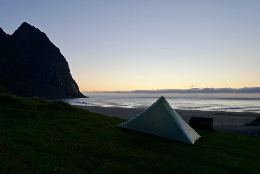
Wild camping is possible throughout the Long Crossing. During our week long journey, we camped out every night except one; an unplanned side trip to the picturesque village of Reine. To get there, we took one of the twice daily ferries from Vindstad. For accommodation options in villages along the way, see the Rando-Lofoten website or check out up-to-date options on Booking.com.
Final Musings from the Long Crossing
Solitude in the Lofotens
By any criteria the Lofoten Islands is one of the most extraordinarily beautiful places on the planet. It’s therefore no surprise that in recent years its popularity has started to boom. But as is the case with other famous natural wonders such as the Grand Canyon and Yosemite National Park, backpacking offers a way to escape the crowds and enjoy a high degree of solitude. During the Long Crossing there were times when we saw other tourists – Bunes beach, the Village of Å and Munken come to mind – however, for the most part we had the trail to ourselves. And that in a nutshell seashell is one of the things that I’ve always loved about hiking – with a little extra effort it is possible to extricate yourself from the beaten track, and find quiet and peaceful moments even in some of the earth’s most popular wilderness corners.
Norway’s Cod Capital
Throughout the Long Crossing you will see cod drying racks in most of the villages. Many years before it became a mecca for nature loving tourists, the Lofoten Islands played an important role in Norway’s fishing industry. For more than a millennium it has been the centre of country’s lucrative cod fisheries. A role that is of particular importance during the colder months, when cod migrate south from the Barents sea and come to the warmer waters of the Lofotens in order to spawn.
A Thermal Anomaly
Thanks to the above-mentioned warm currents of the Gulf Stream, the Lofoten Islands experiences a relatively mild oceanic climate. Despite it lying at a similar latitude to places such as Alaska and Greenland, average winter and summer temperatures in the archipelago are a comparatively balmy 1°C (33.8°F) and 13°C (55.4°F) respectively.
Post-hike Side Trip – The Mosktraumen
Located just off the Lofoten archipelago is a singular system of tidal eddies and whirlpools known as the Moskstraumen (or maelstrom). Over the centuries this hydrological phenomena has been featured in various classic literary tales including Jules Verne’s, “Twenty Thousand Leagues Under the Sea” and Edgar Allen Poe’s short story, “A Descent into the Maelstrom.” What sets the legendary Moskstraumen apart from most other whirlpools is its strength – it’s the second strongest of its kind in the world – plus the fact that it occurs in open sea, rather than in a river or strait.
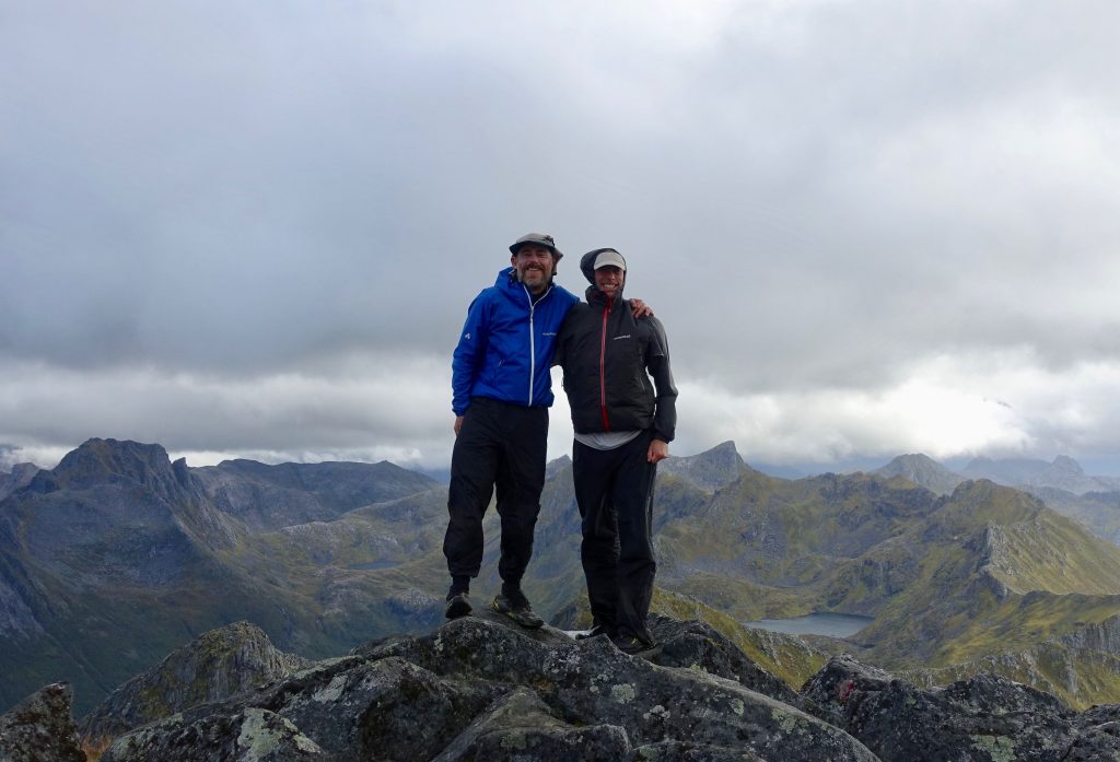
Malto
I’ll finish this post with a shout-out to my good friend and hiking partner on the Long Crossing, Greg “Malto” Gressel. Since meeting on the Appalachian Trail in November, 2012, Malto and I have done a bunch of different hiking trips together including the Lowest to Highest Route, Wonderland Trail, Northville Placid Trail and the Wind River High Route. Most of these journeys were done outside of regular hiking season windows, and as a consequence we’ve occasionally encountered some fairly challenging weather (see images below). Despite the meteorological obstacles and a gag-worthy trail diet of spam and maltodextrin, Malto has always remained singularly upbeat and rarely seems to wear down irrespective of the conditions. It’s especially impressive when you consider he just celebrated his 85th birthday. Thanks for another great hike, mate!
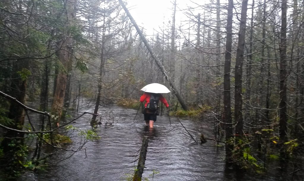
Malto wading through the appropriately named “Duck Hole” during the mother of all storms | Northville Placid Trail, Adirondacks, New York, 2015.

Malto descending to Little Sandy Creek during a big snow storm in Wyoming’s Wind River Range (2016).
Disclosure: This post contains some affiliate links, which means ‘The Hiking Life’ receives a small commission if you purchase an item after clicking on one of the links. This comes at no additional cost to the reader and helps to support the website in its continuing goal to create quality content for backpackers and hikers.
Discover more from The Hiking Life
Subscribe to get the latest posts sent to your email.
What a dreamy place, Swami! Thank you for sharing this hike. I would so love to do it!
No worries. It’s one of those places that superlatives fail to do justice!
You’ve had a wonderful life Cam.
Maybe you should write an article about how you’ve structured your life to make it all happen.
Not just money, but family, health care, etc.
Something an 18 year old could read if he wanted to be like you.
Malto, 85??? There seems to be a bit of Australian embellishment going on. Thanks for another spectacular trip. That northern lights photo is awesome.
I may have tacked on five or six years (tops) for chuckles. Looking back at the photos over the past couple of days, I can’t believe how lucky we were with the weather!
Maybe he’s 85 in dog years? 🙂
Super!
Awesome trip report! What is Malto using to hold his Gatorade bottles? One of the big negatives to the Burn is that you can’t reach the water bottle pockets (at least I can’t) but it looks like he’s found an alternative.
Thanks for the kind words. In regard to Malto, he sewed on some extra pockets to the hip belt.
Can how can you afford to travel for long periods? Any tips for us in that front?
I’ve worked and saved for many years, and have always lived a simple life.
Glad you did the Lofoten Islands. I do believe it maybe the most beautiful place on earth. https://adventurecontinues.org/2019/07/22/backpacking-the-lofoten-islands/
What is the best way to get to the starting point?
See the “Getting There & Away” section of the article.
We did the Arctic Circle Trail in Greenland and the Kungsladen Trail in Sweden late August to mid-September to avoid mosquitos. Is this necessary for the south to north Lofoten trip. Phil Young, Sheffield UK
Hi Phil,
I can’t say from personal experience as I did the hike in late September/early October. However, from what I can gather there may be a few on calm days at dawn and dusk, but nothing like what you experience in the Lapland interior during early/mid-summer.
Cheers,
Cam
Hi Cam, one specific question about the Overland Link between Stages 9 and 10 which you describe as “undeniably precipitous”, however at the same time as “within the capabilities of most strong and seasoned backpackers” – little bit confusing as it gives no clear conclusion :-). You maybe have some photo of the exposed part or would you be able to elaborate on this section a little bit more? We have some decent experience however are definitely not mountaineers… Thanks!
Hi Tomas,
Sorry, I don’t have a photo of the descent you mention. As I mention in the post, there are sections of it that are very steep, but given decent weather, I feel it is within the capabilities of most seasoned backpackers with a good head for heights. I can’t be any more specific than that; each individual must make a decision based on their own experience, ability, and the prevailing conditions at the time.
All the best!
Cam
Thanks Cam, we will most likely have a look and decide when being there, with the ferry as our backup option. Thanks for the reply! Cheers, Tomas
Tomos. Could you share your experience ? Did you use the ferry? Am starting the crossing to tomorrow.
Hi Avish, probably on your way already. Yes we used the ferry due to continuous rainy weather days before and lack of time. Anyway we spiced the journey enough by adding an interesting off-the-trail section between Ågvatnet and Buvågen bay in the very south of Moskenesøya :-). Good luck with your trip!
Hi Cam. Do you have a gps recording that you could share for this part?
Hi Avish
If you’re referring to the overland link between stages 9 and 10, no I didn’t take a GPS Track: just the waypoints referenced in the article.
Cheers,
Cam
Hello Cam
It was a pleasure to read your hiking experiences. I arrive on the 4th of july in Svolvaer to do the 11-day hike. I probably will stick to the rando-lofoten track but who knows what the future will bring.
Many thanks.
Friendly greetings and good luck with your next travels.
Hi, thanks for sharing your experience!
I really enjoyed reading and it moved me, so I’m thinking of maybe planning this for next year. Do you maybe know approximately how much money did it cost you? I’m mostly interested in prices of transport, getting to the beginning/end of the track from some bigger city with airport.
Best regards,
Marko
Hi Marko,
Thanks for the message. Sorry, I don’t know what it cost me overall to do the Long Crossing. In general, the Lofotens is quite an expensive place if you’re eating out, renting a car, or staying in hotels. Regarding transport prices in the archipelago, some cursory Google searches should tell you all you need to know. Best of luck.
Cheers,
Cam
Hi, i’m planning to go next week and go the same direction as you, from south to north.
i’m doing the whole crossing alone and would like to make sure I don’t miss anything, I’m finding it particularly difficult to retrace the path from south to north, but this way works out better for me! 🙂
Do you have any particular recommendation?
Cheers,
Mattia
Have a great trip!
Take time to fully experience the area around A when you get started.
Thank you for this insight, it’s much appreciated.
My partner and I are on day 3 of walking it right now (we’ll update y’all with any new and relevant info).
The descent from lake Tennesvatnet to Vindstad was pretty rough and slow and we’re looking at walking across the mountain to reach Kjerkfjorden. How does the descent from Brunakseltinden compare with what we’ve just done?
Wondering if it is wiser to ferry in.. it’s dry but very gusty.
Curious, if you were to only do a part of the trail, like 3-5 days or so. Which sections/stages would you recommend?? Is it possibly to only do sections and bus back to a village?
Stages 8 to 11 on Moskenesøya island. Off the top of my head, I think most of these stages have transport options in the form of buses or ferries.
Hi, nicely written.
We just found this trail and thinking about doing it in the summer of 2024. Did the Kungsleden in 2022.
If i may ask, is there an option to do the trail based on huts/ b&b or other accommodations options since we do not want to do camping at all?
Thanks,
Yariv
Hi Yariv,
It would take quite a bit of planning on the logistical front (e.g., Especially transport to and from the beginning/end of certain sections), but it may be possible for much of the route.
Best Regards,
Cam
Beautiful post, thanks for sharing.
May I ask, regarding the more exposed sections of the trail, like the ridge walk you mention in stage one. Do you know how these compare with grade 1 scramble ridge walks in the UK such as Crib Goch on Snowdon?
Thanks ????
Hi Joseph,
Thanks for the kind words. The ridge walk you refer to in Stage 1 (around Matmora Peak) is exposed, but nowhere as narrow as the Crib Goch scramble.
Cheers,
Cam
Hi,
Everything looks amazing!
I’m planning on going solo next month, I might have missed in the article but is the trail signposted in any way?
Thanks!
Ori
Hi ORI,
No, the route is not signposted. It’s a combination of a bunch of shorter trails put together.
All the best on your trip.
Cheers,
Cam
Anyone possibly heading here in early to mid October? I’d love to hike with someone instead of solo.
Open to doing a shorter route of like 4-5 nights depending on weather.
Reply with your email if interested
Thanks for the great article and inspiration, which has led us on this amazing trip!
Maybe it is because we are still a little inexperienced with hikes in wilder conditions, but we had to abort the ascent close to the summit of Hermansdaltinden because the way up did not feel safe for us at all.
There was a climbing section close to the top, where you had to push your legs against the wall and use the chain anchored into it to draw yourself upwards with nothing but the abyss below. We succeded in that, but got way out of our comfort zone nonetheless and decided to return to the basic track, ending up on that sketchy descent to the forsfjorden and then the rather okayish hike to vindstad.
Thought that info concerning Hermansdaltinden might be useful for others, who are a little bit new to multi day hikes in general and the lofoten archipelago specifically.
Thanks a lot for all the info! I was always a bit afraid to go to the Lofoten because I was told it is very crowded (and I value remoteness a lot), but this sounds like a great hike. Do you think it would be possible to go there already early June? I was trying to look for some information online, but I could only find that there might be some snow left at 500 m or above. What do you think? If I take microspikes, would that be enough? Thanks a lot!
Thanks for the comment. Conditions will vary from year to year, but generally the hike would be possible from mid-June onwards.
As always, thanks for the helpful report Cam!
We hiked the trail in August. We had a bit of extra time, so we mixed it up with The Athletic Trek, also from Rando Lofoten.
We also skipped the ferry, going south to north. It was OK, although there was some evidence of rock/mudslides on the way, so tread carefully. We uploaded a GPS trail for that bit in our write-up:
https://marcin.website/blog/lofoten_long_crossing/
Nice blog summary, thanks! It’s also interesting to see that someone else ventured into the southernmost peninsula of Moskenesøya, between Buvågen Bay and Ågvatnet, which is truly off the beaten path. Similarly, we were surprised by its wild and challenging character. Luckily, there are at least two ropes installed in the steep sections of the two passes one must negotiate. And yes, that low-tide section is tricky; however, in my opinion, it’s avoidable by crossing a hill just east of Steinberget and south of Turtnbakkvika Bay. Anyway, congratulations on a great trip!