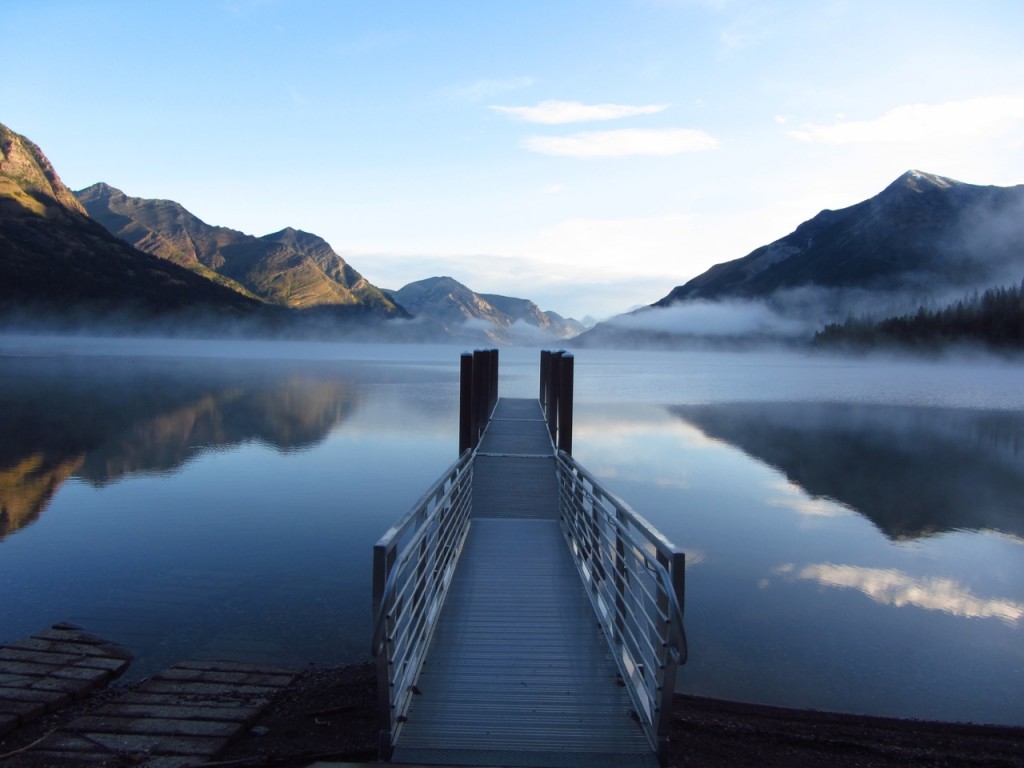
Sunrise over Waterton Lake | Day 1 – Continental Divide Trail | Glacier NP, MT, USA, 2012
At a Glance
Distance: 2,500 miles – 3,00 miles | Depending on route choices.
Avg. Time: 5 months
Start / Finish:
- Southern Terminus: Crazy Cook Monument, NM (official), Antelope Wells and Columbus, NM (alternates).
- Northern Terminus: Waterton Lake, MT or Chief Mountain, MT (alternate).
Transport:
- Southern Terminus: Since 2013, the Continental Divide Trail Coalition has provided a hiker shuttle service to the Crazy Cook Monument from the town of Lordsburg, NM. In 2015, it is running from mid-April to the end of May. It starts up again between October 1-15, in order to pick up southbounders finishing at the Mexican border. (Note: Since the advent of the shuttle, the number of hikers utilizing the Columbus – reachable by public transport – and Antelope Wells termini have dropped significantly).
- Northern Terminus: The two northern termini can be accessed via regular shuttle buses between Glacier, MT, and Waterton, Canada. Click here for details.
Season:
- Mid-April to early October for northbounders. Mid-June to early November for southbounders.
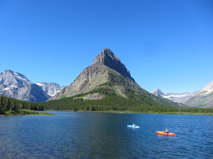
Many Glacier Lake | Glacier NP, 2012.
Maps / Info
- The Continental Divide Trail was designated a National Scenic Trail by Congress in 1978.
- The CDT passes through five states: Montana, Idaho, Wyoming, Colorado, and New Mexico. Click here to see an overview map of the trail.
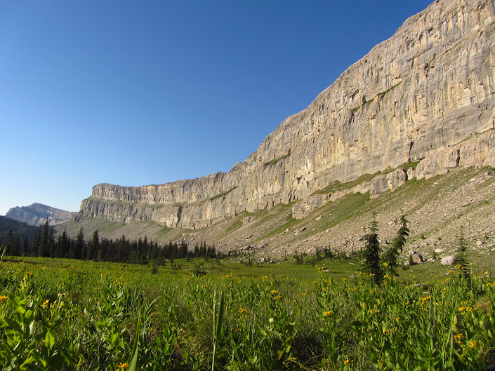
Chinese Wall | Bob Marshall Wilderness.
- As of 2015, Jonathan Ley’s CDT Maps and Jerry Brown’s CDT Mapbooks are the two main mapping options for the trail.
- Yogi’s CDT Handbook contains a town guide and general planning information.
- Beacon’s CDT Data Book has……well……….data about the CDT.
- Since 2014, there is an app available for the CDT. See Guthook Guides for details.
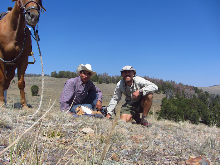
Christian (Peruvian shepherd) & yours truly | On the Divide itself north of Lima, MT.
- Pmags Quick & Dirty Guide is an excellent online planning source for the Continental Divide Trail. Lots of useful links (e.g. maps, guidebooks, journals, films, books) combined with helpful information for first-time thru hikers. A great place to start your CDT planning process.
Route / Conditions
- As of 2015, approximately 72% of the CDT is complete.
- The “trail” as it currently exists is a combination of defined pathways, backcountry dirt roads, cross country and paved roads.
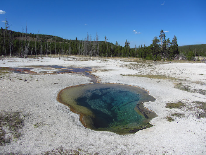
Biscuit Basin, Yellowstone NP | Wyoming.

Old Faithful Geyser | Yellowstone National Park, Wyoming.
- NoBo Vs SoBo: For many years there seemed to be an even amount of people going northbound and southbound on the CDT. Since the advent of the above-mentioned shuttle, the ratio seems to have shifted dramatically. In 2015, it is projected that more than 85% are now heading north. Whichever direction is chosen, the CDT aspirant faces weather windows in the form of snow. The following observations pertain to an “average” snow year on the CDT:
- Northbound: Most hikers begin in the last two weeks of April. The dual goal is to avoid arriving in Colorado’s San Juan mountains too early (i.e. before June) and in Montana’s Glacier NP too late (i.e. after the end of September).
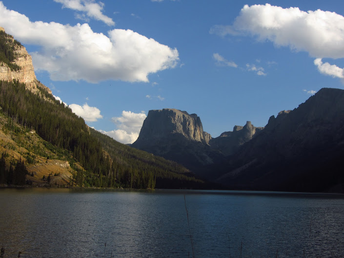
Entering the Wind River Range, WY.
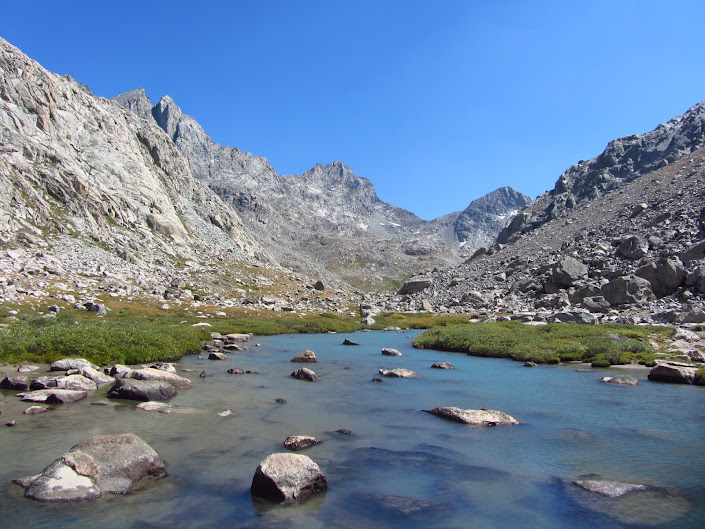
Knapsack Col, Wind River Range, WY.
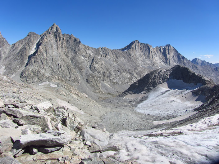
Knapsack Col | Wind River Range, WY.
- Southbound: The majority of Southbounders leave the US/Canadian border between the middle and end of June. Any earlier will usually mean heavy snows in Glacier NP. Most set off with the idea of making it through Colorado’s San Juan mountains by the end of September, at which time heavy early season storms are not uncommon.
Notes from my 2012 CDT hike
- Information: I used Ley’s Maps for navigation and Yogi’s guide book for town stops. I also carried pages from Jim Wolf’s CDTS books for information on flora, fauna and background history relating to the trail.
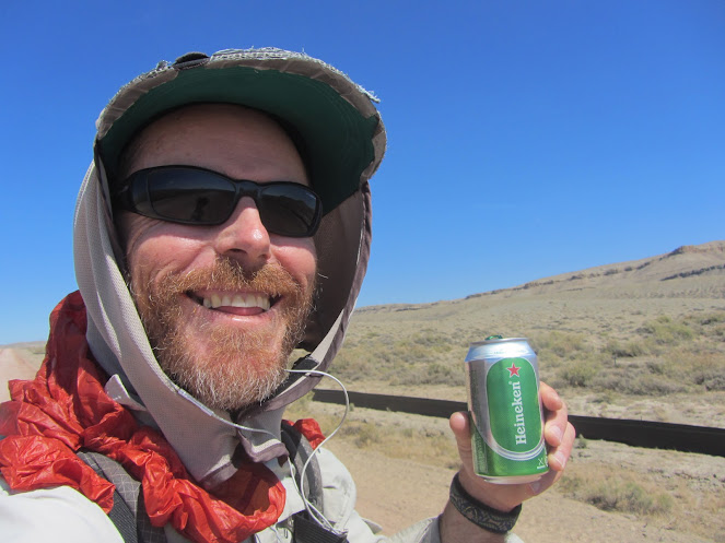
Trail magic in the form of a Heineken – actually there was three! | South of Rawlins, WY.
- Navigation: Not as tough as many people make out. Is a GPS necessary? No, not if your map/compass/route finding skills are good. That being said, more than 95% of CDT thru-hikers now use a GPS (i.e. phone app and/or separate unit) as their primary navigational tool.
- Route Choices: The CDT has a lot of different routes you can take. I would recommend the following as ‘not-to-be-missed’ (assuming weather conditions allow): Highline Trail (Glacier NP), Knapsack Col (Winds), Gila Wilderness and the San Juan’s.
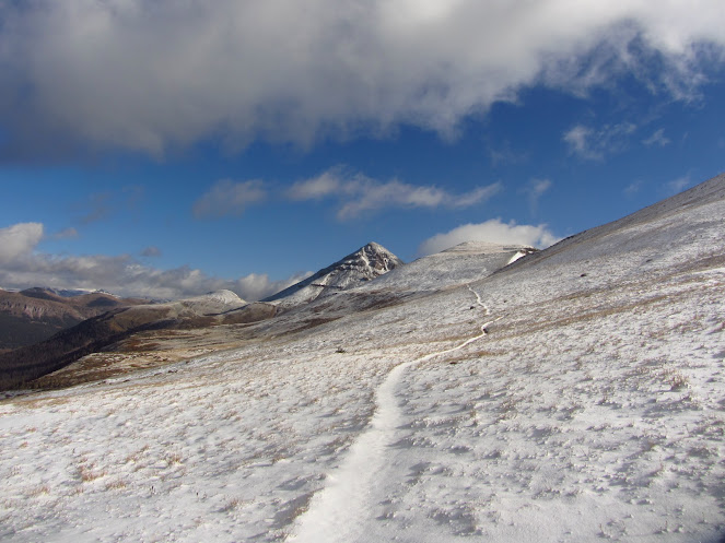
San Juan Mountains, Colorado
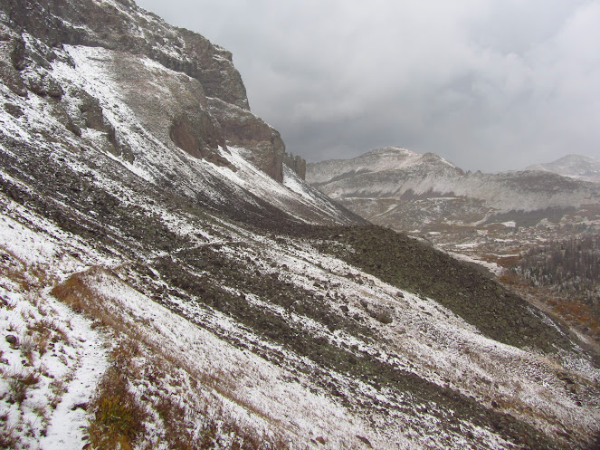
San Juan Mountains, Colorado
- Resupply: Similar to the PCT. Rarely should you need to carry more than 5 or 6 days food. Some of the hitches into towns might be a little more challenging due to a dearth of passing traffic.
- Water: A little trickier than on the PCT…….but not by much. A few long dry stretches in Wyoming and New Mexico. Definitely bring something for water treatment down south; New Mexico is cattle country and some of the sources can be sketchy.
- Scenery: Glacier NP, Wind River Range and the San Juan’s were the highlights.
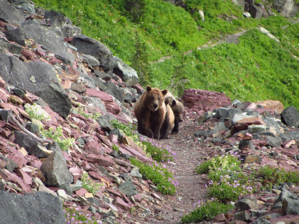
- Wildlife: The best of the Triple Crown trails. During my hike, I saw 8 grizzlies, 5 moose, a wolf, and a coyote.
- Favourite Town Stops: Lake City, Salida, and Pagosa Springs.
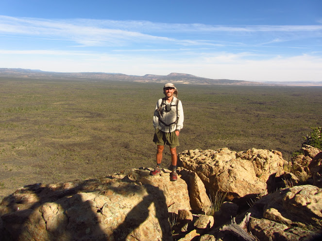
Overlooking El Malpais National Monument, New Mexico.
Discover more from The Hiking Life
Subscribe to get the latest posts sent to your email.
Thanks for the summary, photos, etc. I will definitely be spending more time looking at your posts. Great blog!
Hey Rod………Thanks for the kind words!……..Cheers, Cam
Wow. Photo of three Grizzlies. How close were you? How did you avoid them?
About 50 or 60 yards. I came around a corner and there they were, walking down the trail like elephants in a circus! I stopped in my tracks, took a quick photo, put my arms up in the air to make myself look as big as possible, and spoke to them in a loud and calm voice. As soon as they realized I was there, they ran down the scree slope to the left.