The Pacific Northwest Trail (PNT) stretches from Montana’s Rocky Mountains to Washington’s Olympic Coast—two geographically distinct termini separated by three national parks, seven national forests, and 1,931 km (1,200 mi) of some of the finest mountain scenery in the United States. I hiked the PNT over 45 days between July 2 and August 16, 2011. It was the first thru-hike of the 12 Long Walks journey. All logistical information has been updated as of May 2017.
Distance : 1200 miles (1931 km) approx.
Avg.Time: 65 days
Start: Cape Alava, WA.
Finish: Chief Mountain, Glacier National Park, MT.
Maps & Guidebooks:
As of May, 2017 the primary resources used by most PNT hikers are as follows:
- Online Beta: The Pacific Northwest Trail Association’s website is the best place to start planning your thru-hike. Links to maps & guidebooks, current trail conditions, FAQ’s, etc.
- Maps: The PNTA website provides free downloadable topographic maps for the entire trail.
- Pacific Northwest Trail Databook (Tim Youngbluth, 2016): Mileage points, water sources, resupply options, trail junctions and campsites.
- Pacific Northwest Trail Digest (Tim Youngbluth, 2016): Tips and trekking notes for aspiring PNT hikers.
- Pacific Northwest Trail Town Guide (Melanie Simmerman, 2016): Resupply, accommodation, dining options along the trail.
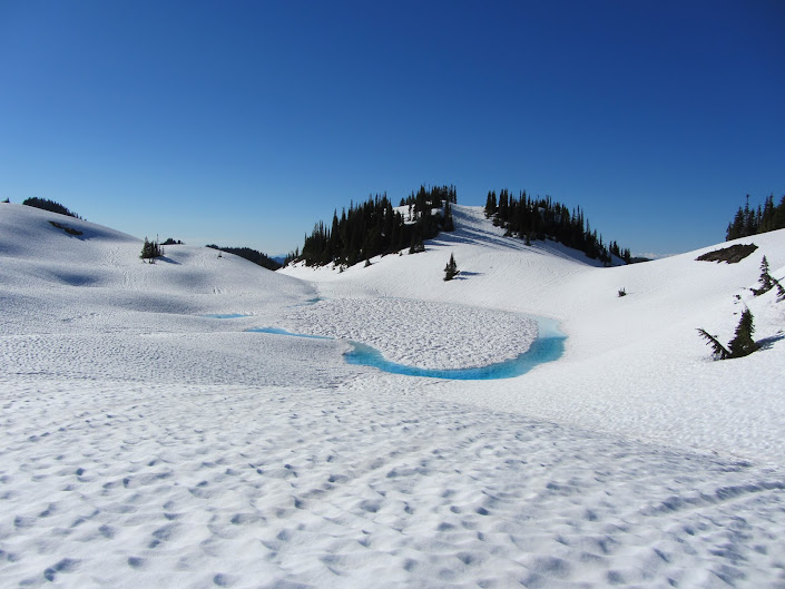
Seven Lakes Basin | Olympic National Park, WA (2011)
- History Buffs: The original guidebook for the trail was written by Ron Strickland, the man who pioneered the PNT. The Pacific Northwest Trail Guide (2001) contains black & white maps, trekking notes and resupply information. Whilst some of the planning is out of date, it’s still a worthwhile read thanks to Ron’s insightful commentaries on points of interest along the way.
- Buck-30’s PNT Planning Page: Helpful overview for folks thinking about a PNT thru hike. Practical, to-the-point suggestions from experienced long distance hiker, Brian “Buck-30” Tanzaman.
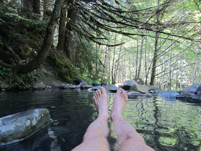
Boulder Creek Hot Springs
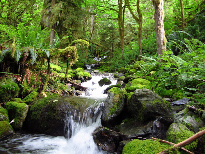
Mt. Baker Wilderness, WA
Route / Conditions:
- The trail runs from Washington’s rugged Olympic coast, to its eastern terminus at Glacier National Park in Montana. Two geographically distinct trailheads separated by three national parks, seven national forests and 1200 miles of often stunning wilderness scenery.
- Which direction? I don’t think it really matters. The majority of hikers go from east to west. I went the other direction, solely because I wanted to link the PNT with the Great Divide Trail (see below).
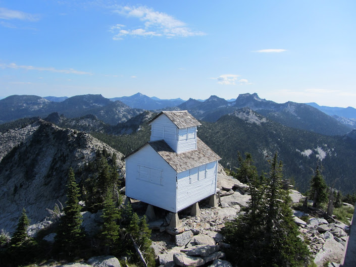
Selkirk Mountains, ID
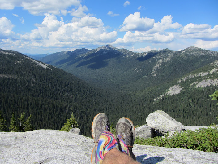
Selkirk Mountains, ID
- Weather-wise things can be a touch on the dampish side in the western parts of the Pacific Northwest. Think Scotland without the pubs. Once you are east of the Cascade Mountains, things become much drier. The contrast is incredible. Like going from Oz to Kansas.
- Snow: You may notice a lot of snow in some of the images below. I hiked the PNT in 2011, beginning on July 2. It was an historically high snow year, which when coupled with an unusually cool spring, meant that for much of the first few weeks of my journey I was hiking through snowbound terrain.
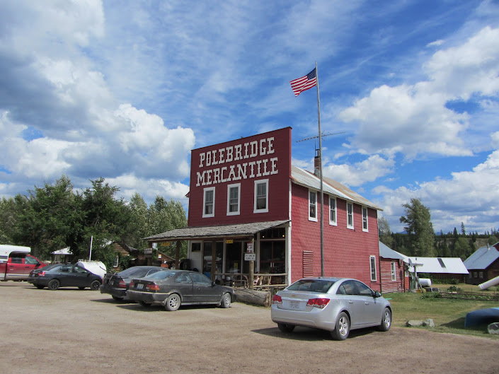
Polebridge, MT
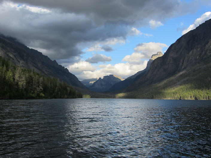
Kintla Lakes, Glacier National Park, MT
- Roads: The PNT boasts some incredibly beautiful sections, namely the Olympics, Mt.Baker, Cascades, Selkirks and Glacier NP. However, as of 2014, it also contains some not so great “connecter-type” stretches, which usually entail a fair amount of road walking. Thankfully most of it is on dirt rather than pavement, in the form of logging and Forest Service roads.
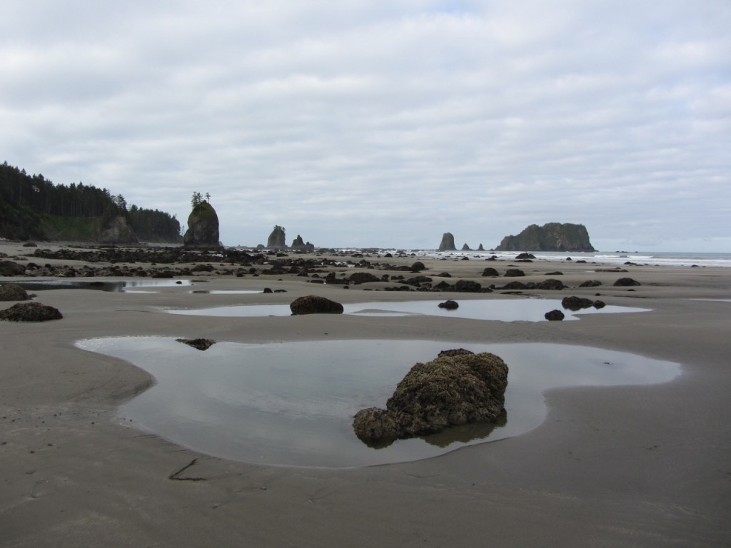
- Wildlife: The stretch along the Olympic Coast was a highlight. Bald Eagles, sea lions and tidal pools filled with starfish and sea anemones.
- What about the bears?: A lot of hikers get their thermals in a twist whenever they head into bear country. Whilst there is a fair chance you will encounter both black and grizzly bears on a PNT hike, as long as you are diligent in taking the necessary precautions, chances are you will be fine. See the Animal Encounters page in the Health & Safety section of the website, for all of the in’s and out’s in regards to hiking in bruin territory.
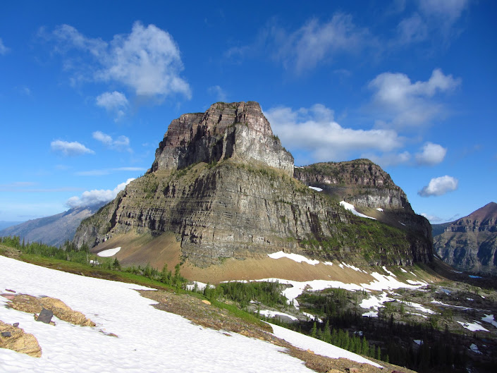
Boulder Pass, Glacier National Park, MT
- Water: Parts of eastern WA are very dry, however, I don’t recall having to carry more than 25 miles worth of H2O in a single stretch.
- Culinary Recommendations: Three standouts. Bob’s Chowder Bar in Anacortes, the bakery at Polebridge Mercantile and the Edison culinary crawl. In regards to the latter, Edison is the name of a very small place in western, WA (population 133). I’ve seen bigger towns made of lego. Nonetheless, in the space of a couple of hundred yards you can find a bakery, deli and a pub. What more could a long distance hiker ask for?
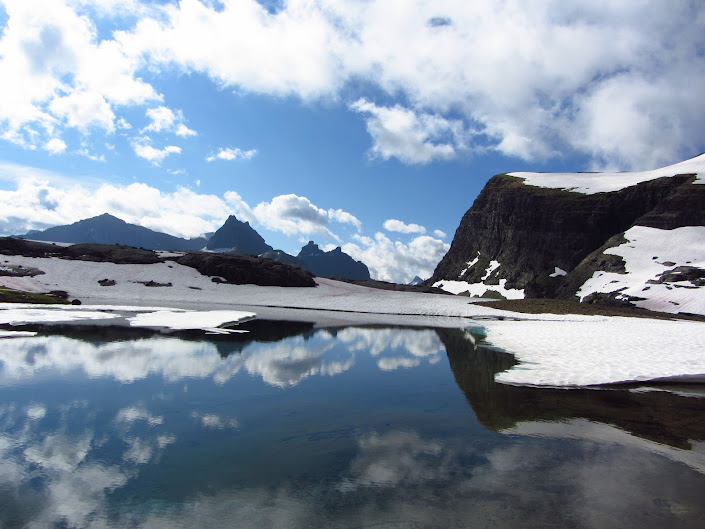
Glacier National Park
- Alternates: A PNT hike presents the hiker with lots of choices for making up their own route. Personally speaking, two notable options were the Li Brannfors (semi-retired map maker and long distance hiker) alternates at Chopaka Lake and Idaho’s Selkirk mountains:
1. From Chopaka lake head cross country in an easterly direction, up and over the Grandview Mountains. If you have a good head for heights and don’t mind doing a bit of scrambling/bushwacking this is a much better option than the official trail, which consists of 20 miles on the roads;
2. If you enjoy boulder hopping and your route finding/navigation skills are good, the Selkirk Crest-Lion’s Head Alternate is a very scenic option. This route, which stays high along the crest rather than dropping down to Lion’s Creek, offers some of the best views of the entire PNT.
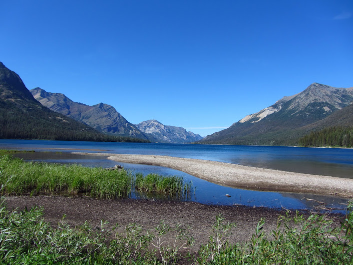
Waterton Lake, Glacier National Park, MT
- GDT Extension: If you are feeling particularly energetic and have and extra 4 to 6 weeks on your hands, the PNT can be combined with the amazing Great Divide Trail. Travelling north along the Canadian Rockies, the GDT is a classic from start to finish. The combination of the two hikes runs anywhere between 1800 and 2000 miles in length, depending on your route choices.
Notes & Musings:
God’s Country
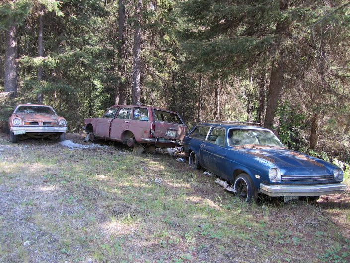
Just before making my way up to the Clackamas Mountain area, I chatted with an old rancher who informed me that I was about to enter “God’s country.” During the next few hours I passed by countless abandoned cars, polluted springs, reams of horse shit and every kind of “no trespassing” sign imaginable. The entire time I was thinking two things: 1. That rancher needs to get out more, and; 2. If this really is “God’s country”, then atheism is beginning to look pretty good.
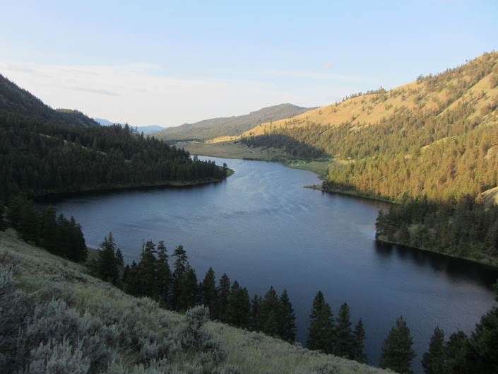
Chopaka Lake
I camped with a wonderful local family, who reminded me a bit of the Waltons both in terms of size (they numbered about 15) and hospitality. Over beers and s’Mores they filled me in on Chopaka’s main claim to fame; namely as the site of one of the most famous Big Foot videos ever filmed on Memorial Day, 1996.
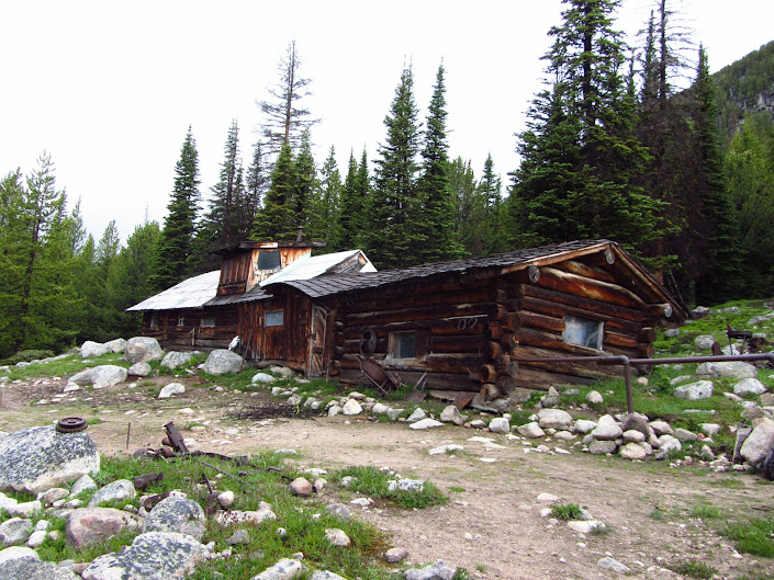
Tungsten Mining Cabins
After a long days walk in the rain, I arrived at the Tungsten Mining cabins cold and wet. I wasn’t expecting to see anyone, so I was pleasantly surprised when I noticed there was a fire going in the upper cabin, and happier still when a man popped his head out of the door and invited me in for a cup of tea.
Gerry had been coming up to these cabins for years. He told me that his father had helped to renovate them after they had been neglected for decades. He had a house in Oroville, but liked to spend as much time as he could up in the mountains.
Over numerous cups of herbal tea and a very welcome hot meal, our conversation drifted from the weather and local history to philosophical matters and questions of faith. It turned out that Gerry was a “First Century Christian”, a group that derives its beliefs from the “direct” teachings of Christ as documented by first century scholars. When I told him I had never heard of this particular denomination of Christianity, he replied with a wry grin that: “I’m not surprised; there’s only three or four of us out there”.
Far from being a zealot, Gerry was quite open minded in regards to different faiths and belief systems. He was particularly interested in my journeys through the Middle East, Tibet and India, where I have had the good fortune to stay at numerous monasteries (coptic Christian in the Middle East; Buddhist in Tibet and India). The hours flew by as we chatted away, but eventually weariness began to overtake me (for those non-hikers out there; “hiker midnight” is generally considered to be 9pm!) and I had to take my leave.
As I shuffled through the rain down to the lower cabin, I couldn’t help but think that it has been as much the people as the places, the serendipitous encounters as the jaw dropping vistas, that have marked my travels as memorable over the past two decades. Thanks, Gerry!
Discover more from The Hiking Life
Subscribe to get the latest posts sent to your email.
