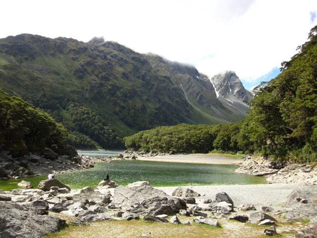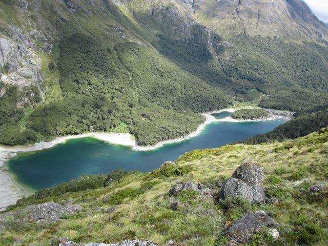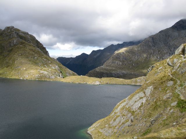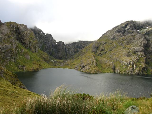
Lake Mackenzie
Distance: 19.9 miles (32 km)
Average Time: 2 days
Start / Finish:
- The Divide – Routeburn shelter.
- For information on getting to and from the trailheads, see the Department of Conservation (DOC) website.
Difficulty: Easy to moderate
Season :
- End of October to the end of April.
- February and March are generally best weather-wise.
Maps / Info:
- Online: For anything and everything pertaining to the Routeburn Track, check the DOC website (i.e. Free downloadable brochure, trail map, trekking notes, logistical details, etc.).
- Guidebook: The Lonely Planet guide Hiking & Tramping in New Zealand has a map and trekking notes for the Routeburn. Available in Kindle format.
- GPS: See Traildino for GPX data for the Routeburn.
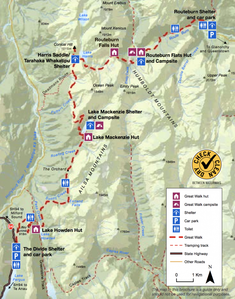
Routeburn Track Overview Map (free download from the DOC website)
Route / Conditions :
- As with all designated Great Walks, the Routeburn Track is well marked and easy to follow.
- To avoid some of the crowds, consider hiking late in the afternoons or very early in the mornings
- The scenic highlight is the section between Routeburn Falls Hut and Lake McKenzie. Incredible views.
- Consider combining the Routeburn with the Caples Track (via Howden Hut) and/or the Cascade Saddle Route. See the Greenstone to Rasberry Creek Route for details.
Sleeping:
- Huts or camping. Due to its status as a Great Walk, all accommodation on the Routeburn needs to be booked in advance. Note that camping places are virtually always available.
Overview:
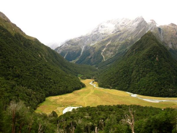
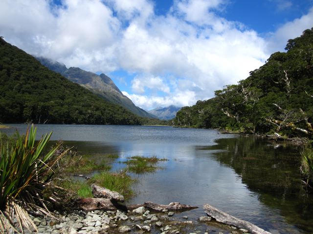
- One of NZ’s most popular tramps due to its spectacular scenery and relatively easy access. I highly recommend combining it with either the Caples Track and/or Cascade Saddle Route.
Discover more from The Hiking Life
Subscribe to get the latest posts sent to your email.
