For hikers of a superstitious bent, the prospect of trekking through the Balkan’s Accursed mountains may evoke more than a little trepidation. And up until fairly recently, this nervousness would have been wholly justified due to the fact that the region was one of the most dangerous areas in the world. However, since the turn of the millennium, the Balkans have undergone an incredible transformation. What was once a no-go zone has now begun to open its doors to tourists, including backpackers eager to experience its long-hidden natural wonders on foot.
The Peaks of the Balkans Trail is a 192 km (119 mi) loop hike that passes through the spectacular borderlands of Albania, Montenegro, and Kosovo. Linking together characterful mountain villages by way of shepherd’s paths and unpaved forestry roads, the complete circuit (there are multiple iterations) consists of 10 stages and can be tackled independently or as part of an organized group. I hiked the Peaks of the Balkans Trail with Kate “Swept Away” Pickett in the fall of 2023, as part of an extended trip in the Balkans region and Greece.
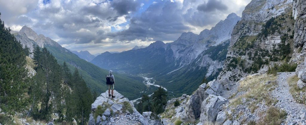
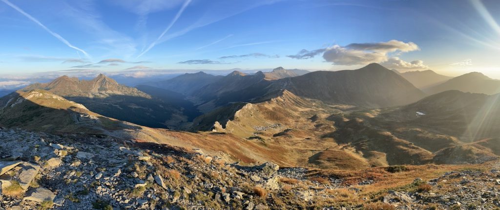
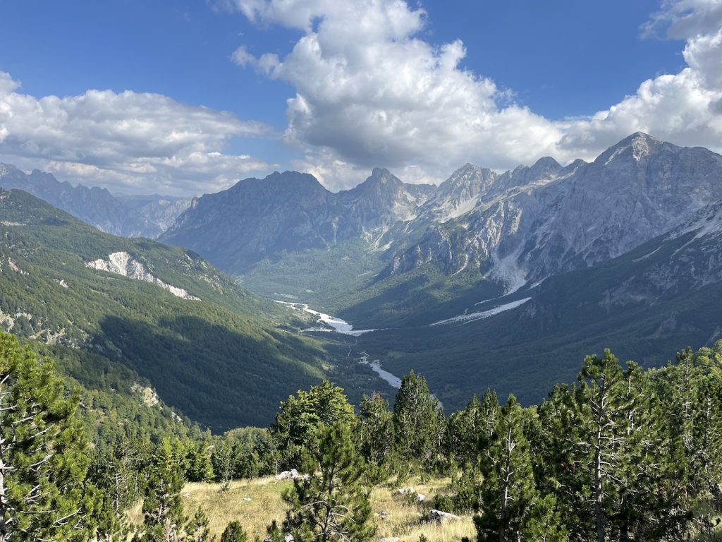
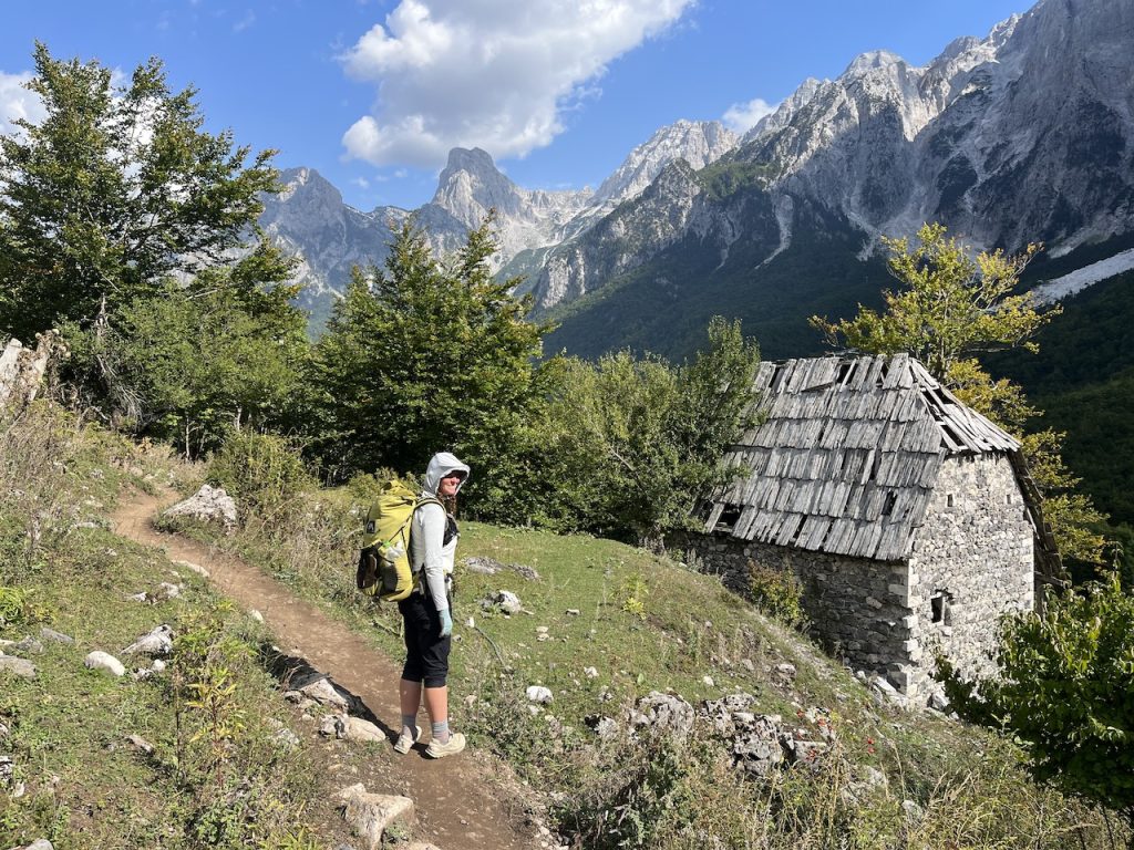
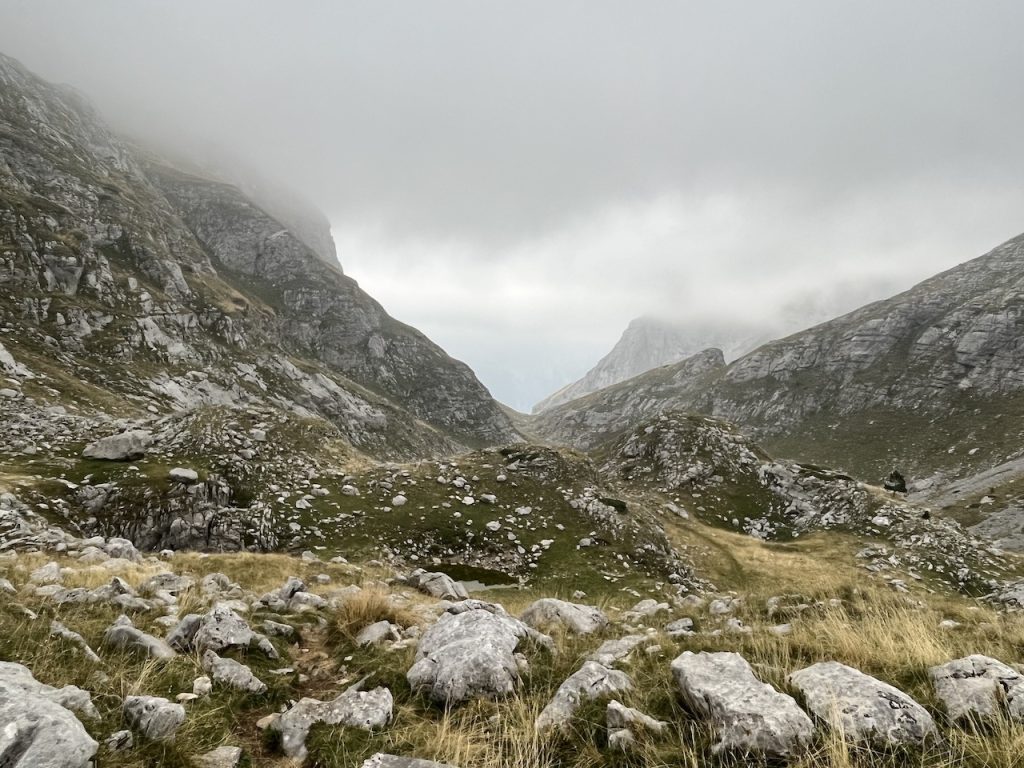
Gazing toward the village of Theth from just below Pejë Pass (Albania) (Photo Credit – Kate “Swept Away” Pickett).
(Note: The Peaks of the Balkans Trail is one of the featured hikes in my sixth and latest book with Gestalten publications, Wanderlust Mediterranean (which was released internationally last week). The book features 26 incredible hikes from around the Mediterranean region, including day trips, multi-day classics, and multi-month thru-hikes).
At a Glance:
Distance: 192 km (119 mi)
Average Duration: 10 days (Note: Stronger hikers carrying a light pack can do it in six or seven days. For those interested in a more mellow schedule, including a zero-day and some side trips, it can take up to 12 or 13 days).
Difficulty Level: Moderate
Start/Finish: The Peaks of the Balkans is a loop hike that can be started and finished in various locations. The most popular (and easiest to access) are Theth (Albania), Pejë (Kosovo), and Plav (Montenegro).
Total Elevation Gain & Loss: 12,020 m (39,436 ft)
Origins: The Peaks of the Balkans Trail was established in 2012 through a joint effort of the German development corporation GIZ and local and national action groups. The project’s continuing goals are to foster a sense of cross-border unity, assist in protecting the region’s flora and fauna, and help local inhabitants create a sustainable form of eco-friendly income.
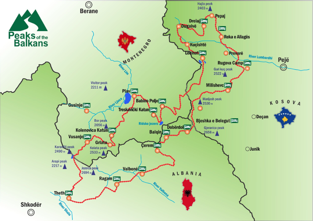
Overview map of the Peaks of the Balkans Trail (Photo from the Peaks of the Balkans Website – See Planning below).
Highlights:
- Sunrise from Tromedja (“Three Border”) Peak.
- The magical karst landscape around Prosllopit Pass.
- Magnificent views from Pejë Pass and the subsequent descent into Theth. The same goes for Valbone Pass and its namesake valley.
- Ancient beech forests
- Sampling local cuisine in the villages along the route.
- The incredible hospitality of the Balkans people.
- It’s not really a highlight, but one of the most affecting aspects of the hike was the juxtaposition between dramatic natural beauty and the remnants of the region’s recent somber history (See Notes & Musings below).
Getting There & Away:
- From a logistical perspective, Plav in Montenegro is the most straightforward starting and finishing point. From the national capital of Podgorica, it’s just under four hours’ journey by bus, and there are four daily departures. The most scenic choice is arguably the mountain village of Theth in Albania. It is a 2.5-hour bus ride from Shkodër (Albania) and another 90 minutes from Podgorica.
Season:
- Late May to early October. Wildflowers are at their peak in June, August is the warmest month, and fall colors begin in early October, which also traditionally heralds the first snowfalls.
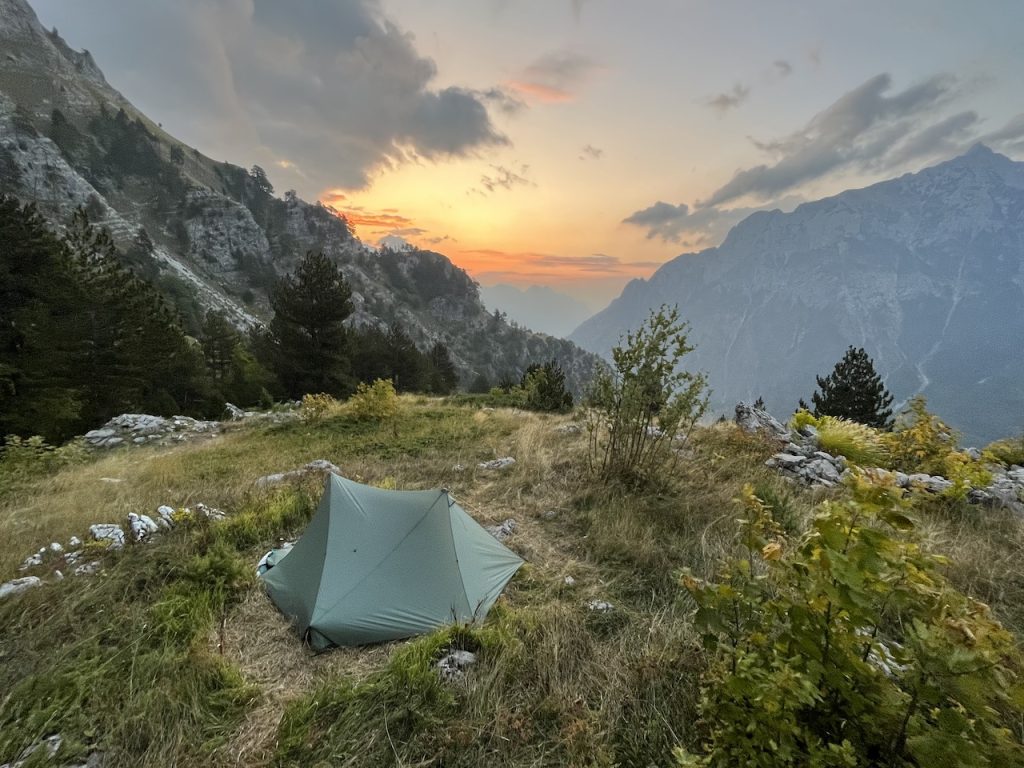
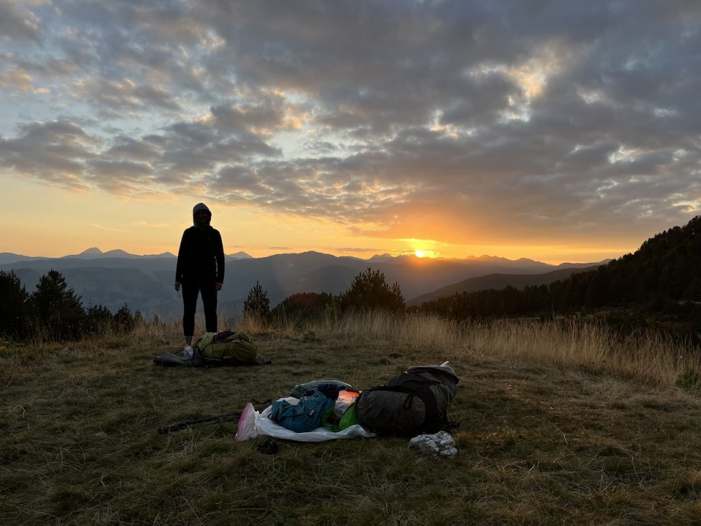
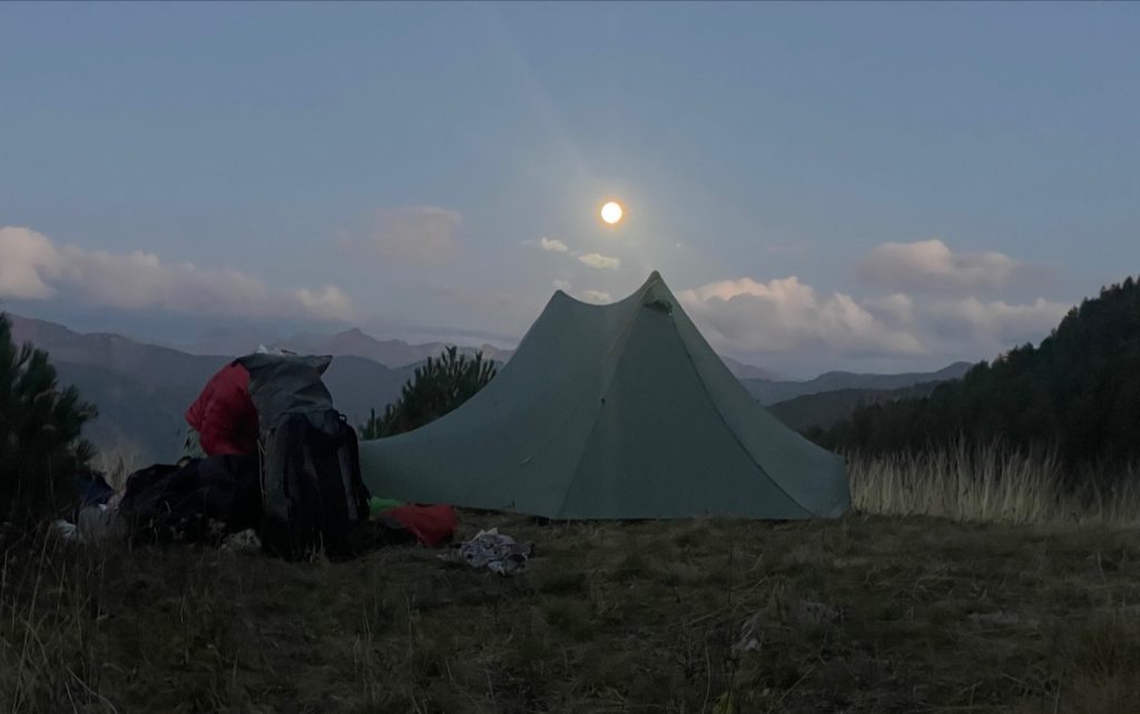
Wild campsite on the climb to Prosllopit Pass (Albania)(Shelter – Tarptent Stratospire 2).
Planning Resources:
- Guidebooks: Trekking the Peaks of the Balkans Trail (Cicerone Press) by Rudolf Abraham has a detailed summary of the hike, including trekking notes, basic maps, side trip suggestions, distance and time estimates, and logistical information. The book is available in Kindle or paperback. For German speakers, I’ve heard good things about the Peaks of the Balkans Guide by
- Online: The Peaks of the Balkan Trail’s official website is a solid starting point for your research. The site includes a stage-by-stage breakdown and some useful planning information. At the time of writing, possibly the best online resource is shoesyourpath.com. Run by a French couple named Quentin and Charlie, this excellent site contains loads of logistical info (e.g., permits, travel, budget, accommodation, etc.), a detailed day-to-day diary, side trip suggestions (especially the magnificent Grebaje Valley), and some amazing photos from their journey.
- GPS Data & Maps: Traditional cartographical options are slim. The principal choice seems to be a 1:60,000 map that receives mixed reviews. You can find GPX Tracks for the route at Outdooractive, Wikiloc, and Fastest Known Time.
- Cell/Mobile Phone Coverage: At the time of writing, you’ll likely have coverage in Plav, Theth, and (possibly) some of the high points. Most of the guesthouses along the route have Wifi.
- Permits: The Peaks of the Balkans trail crosses backward and forwards between Albania, Montenegro, and Kosovo. Before setting out, aspiring thru-hikers will need to obtain a cross-border permit. Whether walking independently or with an organized group, the most hassle-free way of doing this is online via a reputable local tour operator. We used the Albanian-based Zbulo.org, which provided quick and affordable service (Note: It’s recommended to send your application at least two weeks in advance of departure).
- What did we use on trail?: 1. The Kindle Version of Trekking the Peaks of the Balkans (Cicerone Press); and 2. GPX Track (including alternates) on the GaiaGPS and Maps.me apps.
Resupply & Water:
- Food: Most food along the Peaks of the Balkans Trail can be procured at the route’s homestays/lodges. Tariffs often include hearty meals that consist of homegrown produce such as cured meats, bread, cheese, yogurt, and vegetables. Dinner is sometimes washed down by generous servings of the local firewater rakija, a power-packed fruit brandy found throughout the region. Regarding grocery stores, your best options are in Plav and Theth; the former has a far wider range of choices at more affordable prices.
- Water: Potable water can always be obtained at the villages along the route. In between settlements, hikers should filter or treat water due to the prevalence of grazing animals along much of the trail.
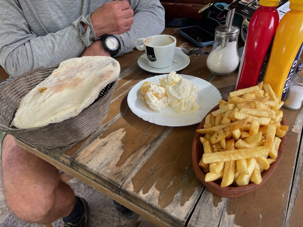
A hearty second breakfast of homemade bread, peppers with a decadent amount of churned cream, coffee, and a sizable mound of delicious fries (Grla Restaurant in Vusanje, Montenegro)(Photo Credit – Kate “Swept Away” Pickett).
Route/Conditions:
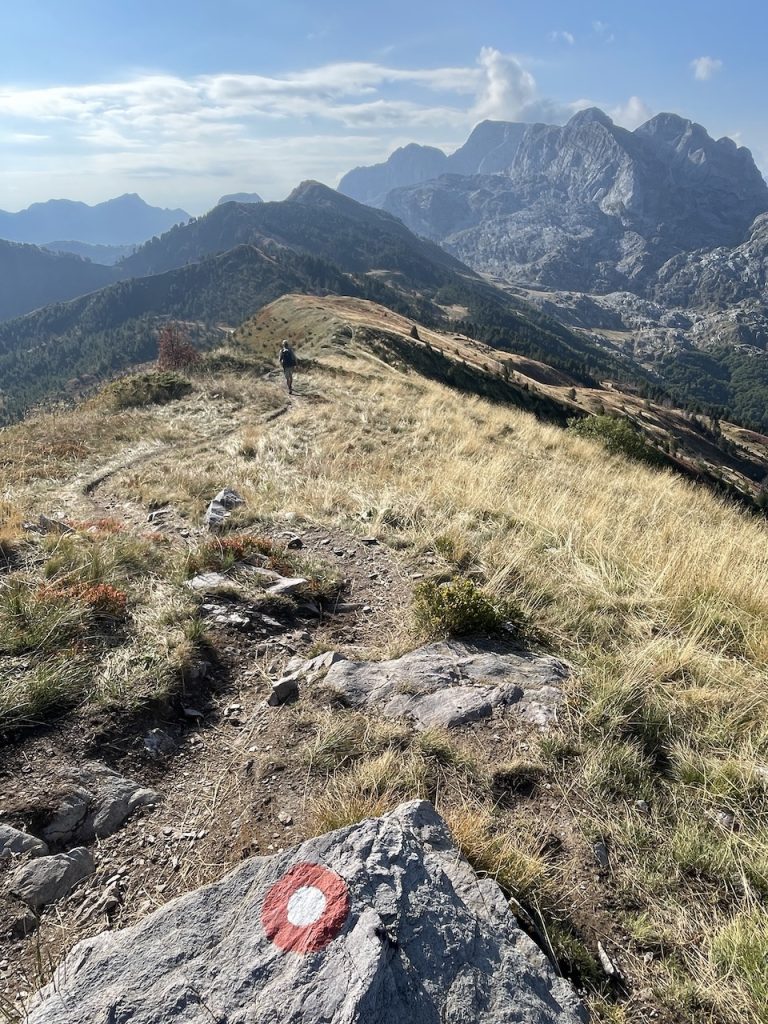
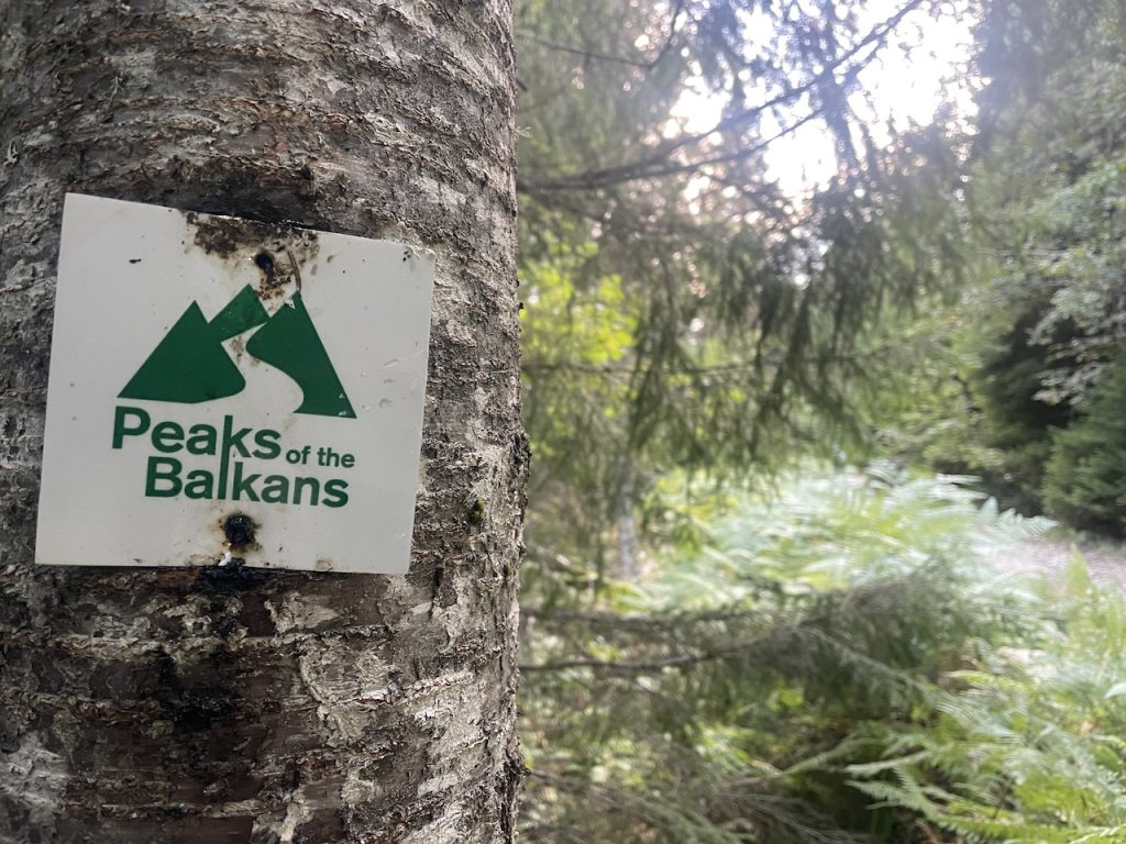
- The Trail: From a distance perspective, the Peaks of the Balkans Trail is split fairly evenly between Montenegro, Albania, and Kosovo. The trail traverses some remote regions, linking together small villages via mountain paths and little-used forestry roads. The way is marked by different variations of red and white markers, along with the occasional “Peaks of the Balkans” sign.
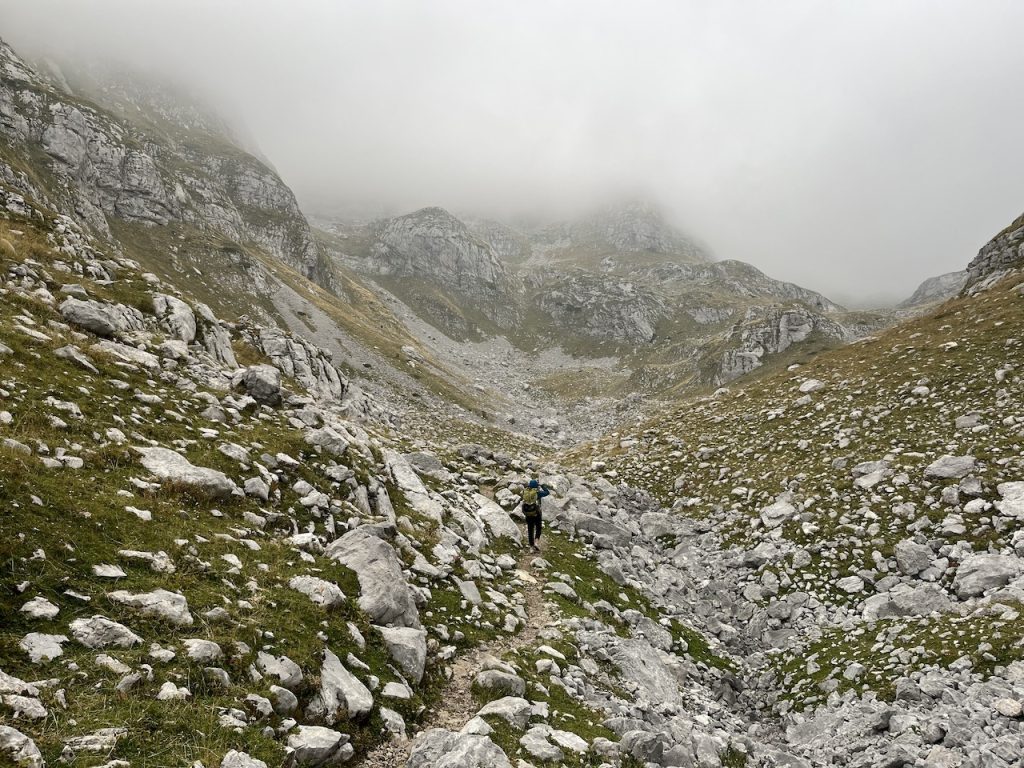
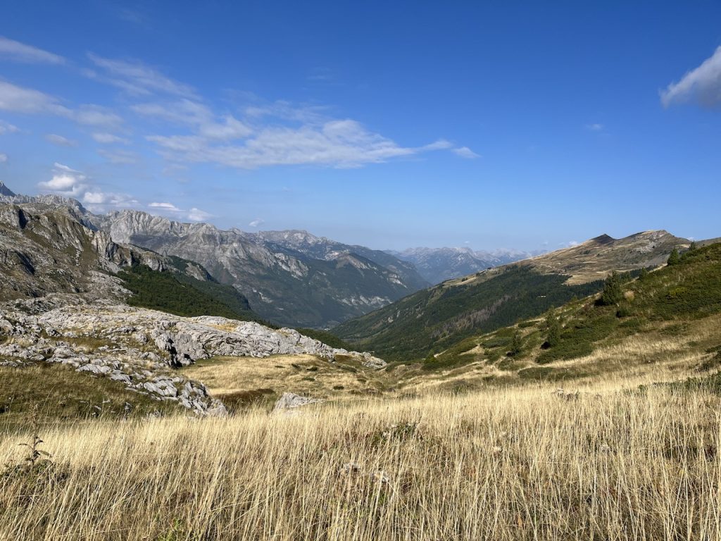
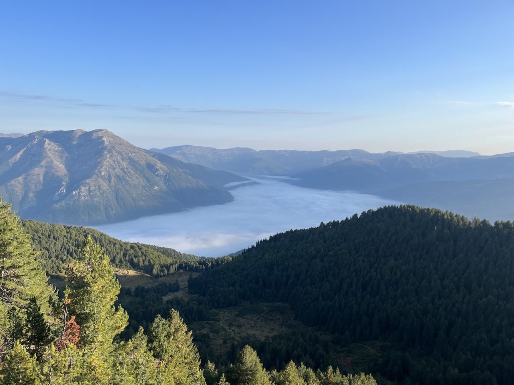
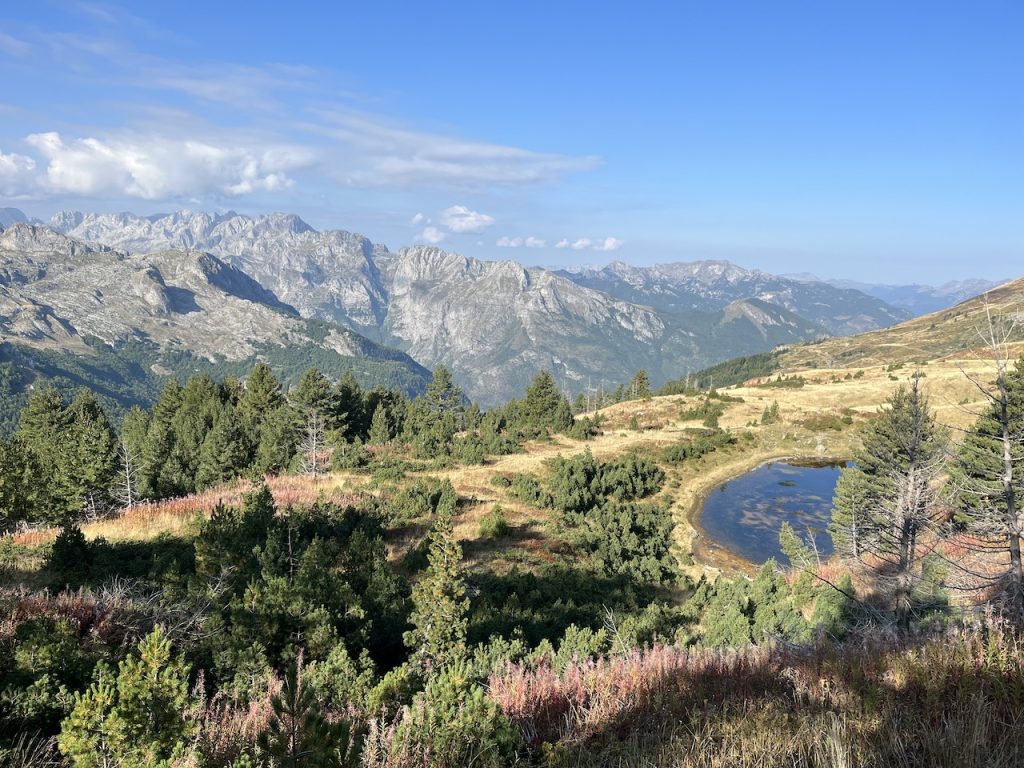
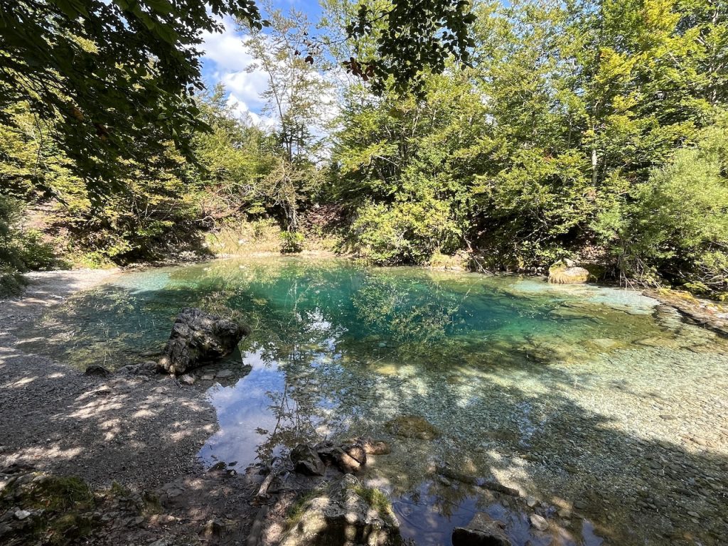
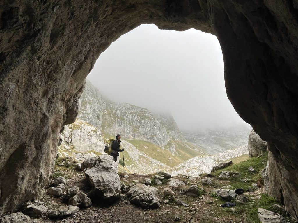
- The Terrain: The Prokletije (“Accursed”) Mountains constitutes the southernmost section of the Dinaric Alps, a mountain range that stretches approximately 700 km (435 mi) from Italy in the northwest to Albania in the southeast. Notable for its striking karst topography, while passing through the Accursed Mountains, hikers will traverse glacially-sculpted valleys interspersed with a series of high passes, rugged limestone peaks, crystal-clear tarns and lakes, sinkholes, and yawning caves.
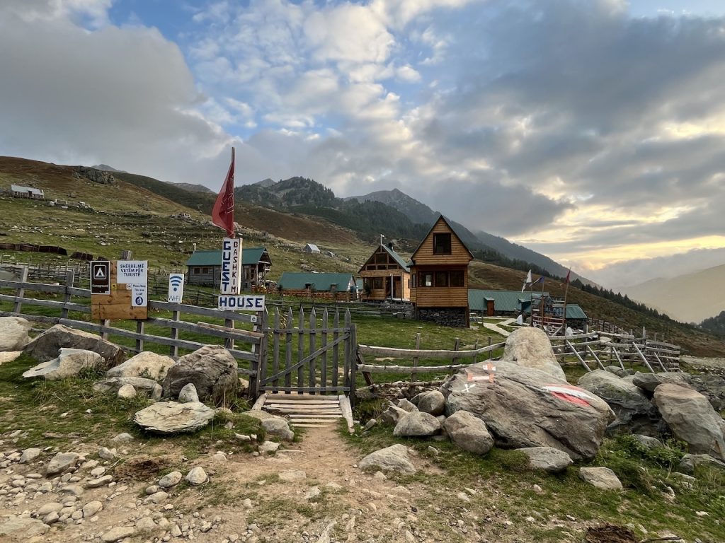
- A History of Hospitality: The Peaks of the Balkans Trail offers hikers an insider’s perspective on the region’s traditional pastoral life. Thanks to the advent and growth of the trail, some locals have converted rooms in their homes to accommodate hikers, in order to supplement their seasonal farming and shepherding incomes. The lodgings are usually simple but clean, and what they may lack in modern amenities, they make up for in the warm welcome of their hosts. Treating travelers as honored guests rather than transitory strangers is nothing new to the people of the Accursed Mountains. Hospitality has always been an integral part of local culture, and such is its importance that it was actually codified into traditional Albanian law (Kanun).
Alternate Routes:
1. Valbona to Ceremi via Prosllopit Pass – Though longer and more challenging than the “official” lowland route via the Ceremi River, the trail over Prosllopit Pass is one of the scenic highlights of the Peaks of the Balkans and not-to-be-missed.
2. Kosovo Cut-Off Options: The complete Peaks of the Balkans Trail takes around 10 days to complete. The most popular alternate routes – which shave off around two or three days or 20-30 percent of the trail – bypass much of the Kosovo section (some of which is routed along paved roads). This is usually done by leaving the official route during the Stage 4 section between Dobërdol (Albania) and Milishevc (Kosovo). The principal departure points are as follows:
A. The saddle just below the summit of Tromedja (Three Countries) Peak. From there it’s 5 km (3.1 mi) WNW to rejoin the main trail at a junction just above Lake Hrid (Montenegro);
B. Around 6 km (3.7 mi) north of the Tri-Peaks saddle close to Roshkodol Pass (Kosovo). From this point, it’s only 1.3 mi (2.1 km) to rejoin the main trail, located just west of the small village of Babino Polje (Montenegro).
C. The village of Milishevc (Kosovo), from which hikers can walk just over 5 km (3.1 mi) due west to reconnect with the main trail at a signed junction on the Kosovo/Montenegro border ridge.
Sleeping:
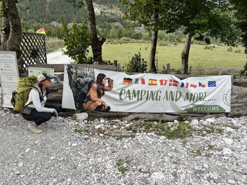
- Camping is possible, but most hikers use homestay accommodations in villages along the route.
- The main overnighting points along the route are as follows (in a counter-clockwise direction beginning in Theth): Theth (Albania), Valbona (Albania), Cermi (Albania), Dobërdol (Albania), Milishevc (Kosovo), Reka e Allagёs (Kosovo), Drelaj/Restaurant Te Liqeni (Kosovo), Babino polje (Montenegro), Plav (Montenegro), and Vusanje (Montenegro).
- Our Experience?: We wild camped with the exception of a couple of nights in Theth and Dobërdol.
Notes & Musings:
Somber Remnants of Recent History
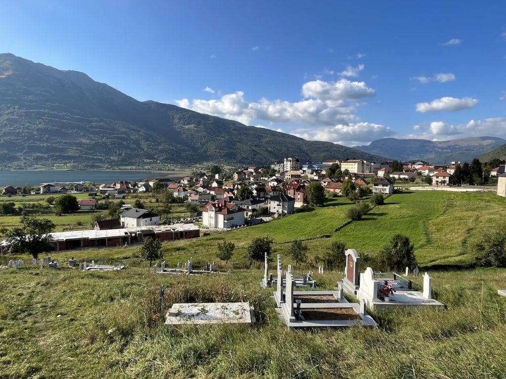
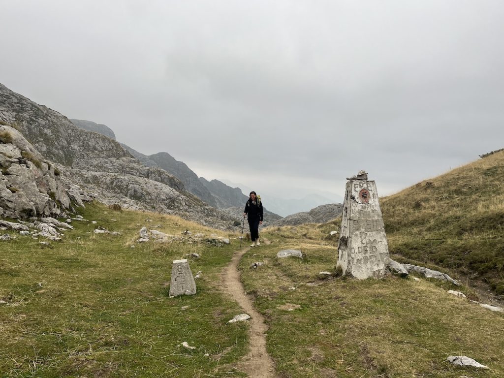
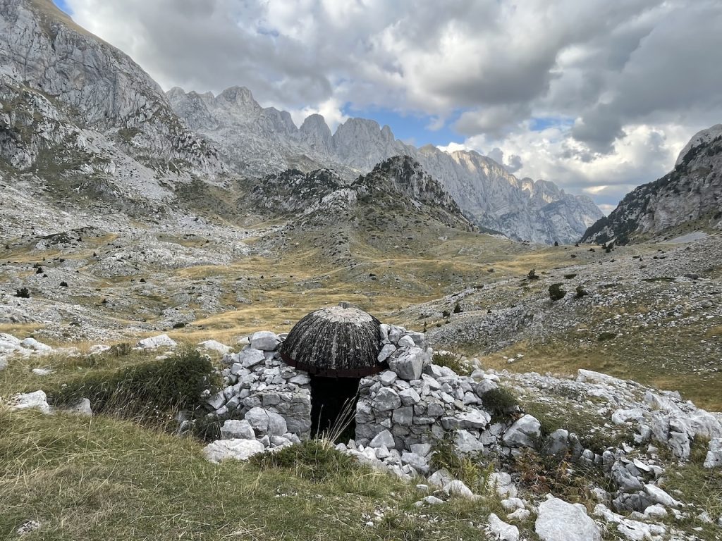
During the Peaks of the Balkans Trail hikers will encounter regular reminders of the region’s war-torn past in the form of abandoned guard towers, cemeteries, and concrete-domed pillboxes located on top of lonely mountain passes. More than one hundred thousand of these small bunkers can be found throughout the picturesque Albanian countryside, all of which were built at the behest of the Communist dictator Enver Hoxha between the 1960s and 1980s. The juxtaposition between natural beauty and somber history is striking.
The Lock-in Tower of Theth
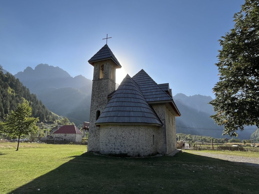
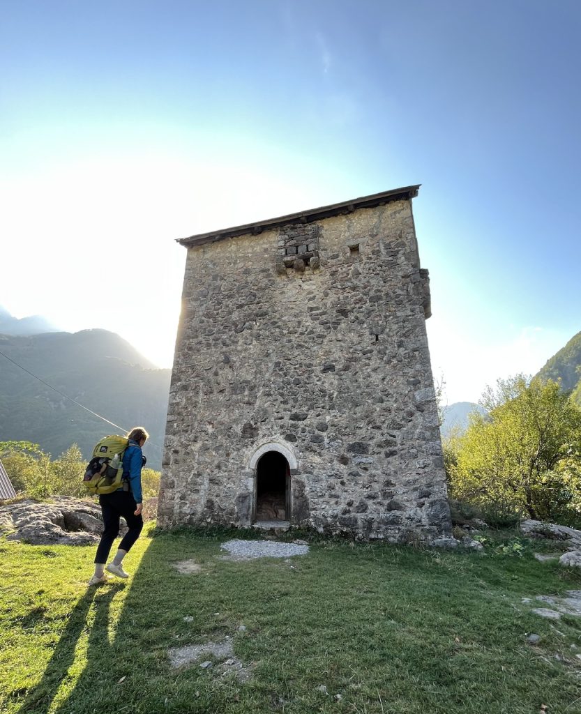
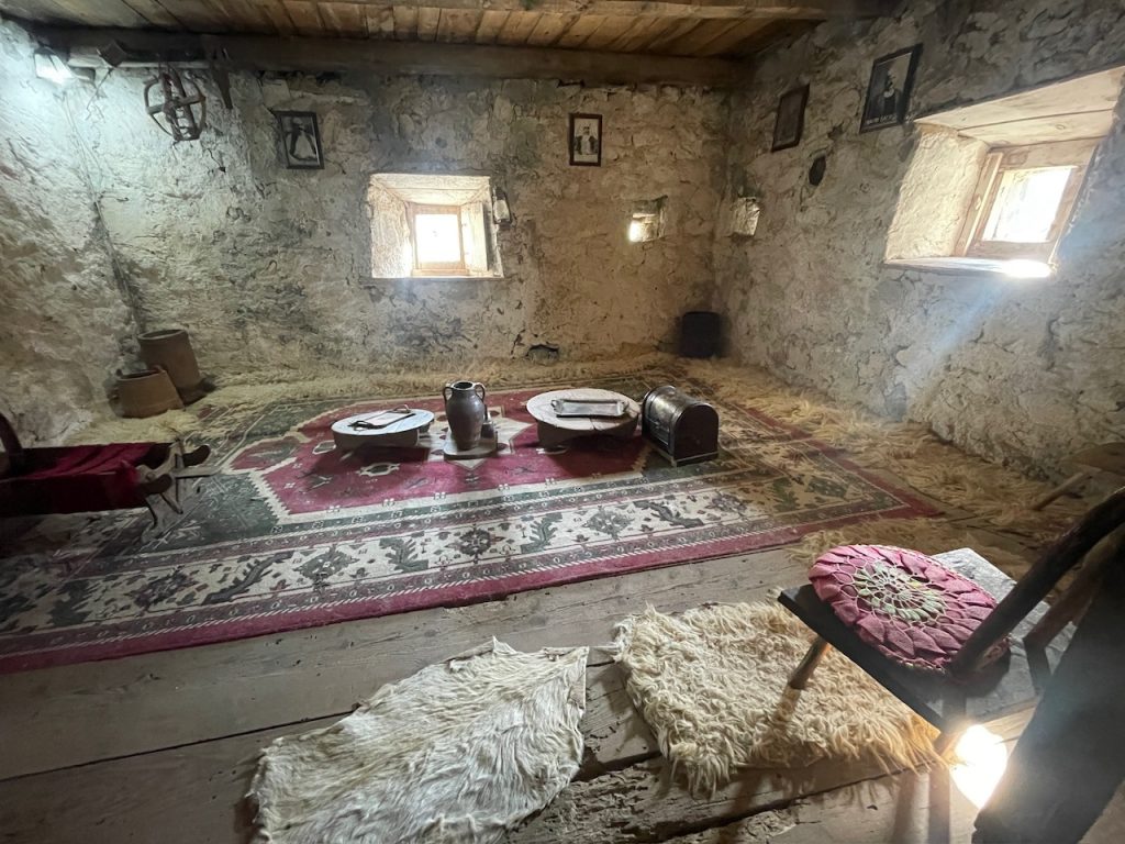
Apart from its famous old church, the most notable human-made site in Theth is the 400-year-old ‘lock-in’ tower (“Kulla” in Albanian). This double-storey stone building was once a safe haven for locals engaged in blood feuds with neighboring clans. It was in these spartan confines that a person who was marked for retribution would spend weeks (or even months) in hiding. Long part of traditional Albanian culture, blood feuds (“gjakmarrja” in Albanian) were a social or familial obligation in which a person was entitled to “an eye for an eye” in the name of honor. The fortified tower is now a museum. Opening hours are sporadic; if it’s closed when you arrive, folks in neighboring homes will open it upon request.
Sunrise from Tri-Countries Peak
The following story is from the “Author’s Anecdote” section of the Peaks of the Balkans Trail in Wanderlust Mediterranean:
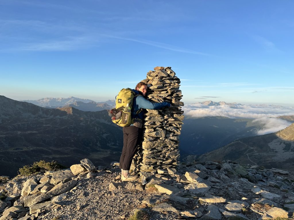
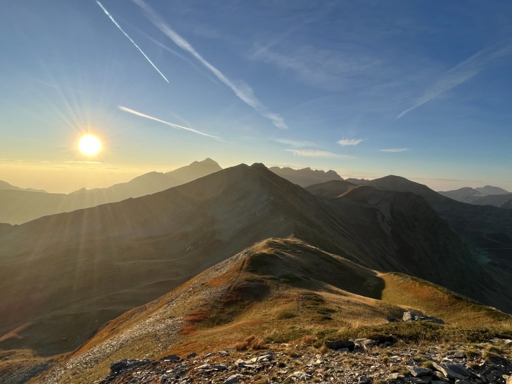
“The views you have to work for often resonate the most. Putting forth extra effort makes the reward just that little bit sweeter. That was precisely the case when Kate and I ascended Tromedja Peak (2,366 m/7,762 ft), the famed mountain that straddles the border of Montenegro, Kosovo, and Albania.
The previous evening, we arrived late into the remote settlement of Dobërdol (Albania). We were hungry and a little weary at the end of a long, cold, and wet day on trail. Upon reaching the charming alpine hamlet, we made a beeline for the Bashkimi Guesthouse. There, we managed to procure the last available room and, within 20 minutes, sat down to what was a much-anticipated meal. Some friends who had previously hiked the trail had spoken glowingly about the quality of food on offer at Bashkimi. The fare included bottomless bowls of soup, fresh garden salad, tasty potatoes, and a delicious savory pie by the name of Byrek, an Albanian staple that consisted of spinach and feta between thin layers of phyllo. After a solid two hours of feasting, we waddled back to our room and called it a night.
The following morning, we rose before 5 am. After brewing coffee and wolfing down some snacks, we donned our layers and headlamps and set off. The temps were south of freezing (we were hiking in early October), and apparently, we were the only ones up and about. Soon after leaving the guesthouse, we passed a lone tent on the village outskirts. The inhabitants were just waking, and in the dead calm before dawn, we could clearly hear the yawns, rustling of plastic bags, and one of the campers colorfully exclaiming, “It’s #*!#@* freezing out there! I’m going back to sleep.”
Continuing on, the going was extremely steep, and the “trail” was anything but clear in the pitch darkness. Nonetheless, Kate and I huffed and puffed our way up the slope and found ourselves on the peak’s shoulder some 40 minutes after leaving the guesthouse. After another 20 minutes of scrambling, we were on the summit, just in time to gaze east to see the sun’s emergence over the peaks of the Balkans. The 360-degree panorama was a jaw-dropper in every direction. Soaking in the soothing warmth of the morning rays, we sat down and enjoyed a second breakfast of cereal and powdered milk. Out in the wilderness, even the simplest of meals taste great. We had this magnificent mountain top all to ourselves, and we couldn’t help but think how fortunate we were to be welcoming in a new day from such a beautiful place.”
Disclosure: This post contains some affiliate links, which means ‘The Hiking Life’ receives a small commission if you purchase an item after clicking on one of the links. This comes at no additional cost to the reader and helps to support the website in its continuing goal of creating quality content for backpackers and hikers.
Discover more from The Hiking Life
Subscribe to get the latest posts sent to your email.



Thanks Cam! What a great article. I was In Cyprus last year and to cut a long story short my plans changed and I unexpectedly found myself in Albania. I already had the Cicerone guidebook on my phone for a future hike, but it was too late in the season (Christmas) so I spent time touring Albania on the always-interesting/fun bus journeys. I can vouch for Cam’s comments about the ‘legendary Balkan hospitality’, as you really Will Truly experience the genuine kindness of strangers everywhere.
Your article along with Swept Away’s stunning photos has rekindled a lot of memories of my time in Albania and Inspired me to get my 2025 diary out and get serious about next year’s hiking projects – including the Peaks of The Balkans Trail.
Thanks! 🙏💚🥾🥾 Domo
Hey Domo,
Thanks for the kind words and all the best for the Peaks of the Balkans next year!
Cheers,
Cam
Thanks for the headsup on this one, Cam. Beautiful place to be, that’s for sure!
No worries, Rich! Thanks for reading.
Hey Cam! What an exciting read and adventure! Great to see Swept Away and her photos. An otherworldly looking trail, for sure.
Hey Randy,
Thanks for the comment. Kate definitely has a great eye for photography! The trail was awesome; a unique fusion of natural, historical, and culinary elements.
Cheers,
Cam
Hey Cam, all good with the wild camping along the whole route? Any thoughts on that? Thx for the story and photos! Cheers.
Hey Craig,
Thanks for the message. No worries about wild camping along the route. The only possible exception that comes to mind would be close to shepherds’ camps (which generally have territorial dogs).
Cheers,
Cam
Hi Cam
Thanks for the article, I also hiked the POB last year in late summer, started solo for 3 days and then buddied up with another woman I met on the trail. We wild camped as well, mostly on the tops of the peaks, for great sunrise shots, with an occasional valley stay often alongside an official accommodation option so that we could buy food. Not everywhere takes cards so do take cash ( Euro and Lek). We had to help out an English hiker by changing some £ to Lek so she could get some food in a remote Albanian village.
A couple of cautions, Norovirus was rife on the trail last year, almost everyone got sick, despite zealous handwashing etc. Also there are still bears and wolves in the peaks. We heard wolves one night, fortunately a long way away and saw the electric fencing to keep the bears out of the bee hives in Babinje Poli.
The hiking is moderate in difficulty, we got to choose how far to go each day, but more pressure if you’ve got to make a guest house. We were out for 2 weeks but took a couple of rest days and cut off some of the Kosovo road walking bits as you’ve advised above. The Theth Valbona route was super busy with day hikers when we came through, there was a line up of people and a dozen mules carting luggage as well. Just be warned if you’ve wild camped and then discover you’re a lone hiker going against the flow.
I would also encourage everyone to stop for the local produce en route, Enisa’ s homemade yoghurt and blueberry sauce – outside Babinje Poli, was the best.
Albania is also very good for hitch hiking, I hitched to and from Theth, getting rides with locals and other travellers very easily. Locals will even wave a car down for you if they think you’ve been waiting too long.🤣
Thanks once again for the article, definitely a great hike and very doable for solo female hikers.
As always nice work Cam on giving us an impression of what it’s like and need to know. Best wishes.
Looking at a celebratory solo hike for 2025- you are providing a lot of inspiration with this one Cam! I suspect I’m about to deep dive down a rabbit hole. Thanks so much.
Gill (just turned 60, retiring in 5 days – eek)
Hey Gill,
You’re welcome. A happy belated 60th and all the best in retirement – enjoy that celebratory birthday hike!
Cheers,
Cam