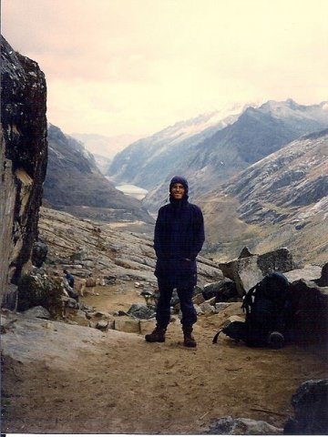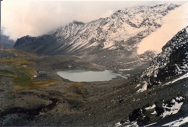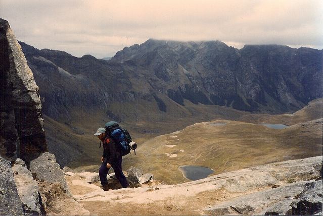
Yours truly on a rain-swept Punta Union, the high point of the Santa Cruz Trek.
Distance: 31 miles (50 km)
- Note: The trail was approximately 62 km when I did it in 1996, however, it has since been shortened due to the opening of a major road through to the popular Llanganuco lakes area.
Average Time: 3 days
Start / Finish:
- Vacqueria – Cashapampa
- Both trailheads are accessible by regular bus services from Huaraz.
Season: May to October.
Difficulty: Easy to moderate
Maps / Info:
- Topographic Maps: In 1996 I used the Alpenvereinskarte 1:100,000 Cordillera Blanca Nord (Peru) Sheet # 0/3a. In 2018, a three-book map set for the Cordillera Blanca and Huayhuash with 1:50,000 maps was published by Sergio Mazitto. The Santa Cruz Trek is covered in “Hiking & Trekking in the Cordillera Blanca & Huayhuash: Map 1 North.“
- Guidebook: Neil & Harriet Pike, Peru’s Cordillera Blanca and Huayhuash (2015).
- GPX: See Wikiloc for GPX data for the Santa Cruz Trek.
- Bring all supplies from Huaraz.
Route / Conditions:
- The Santa Cruz trek is one of the easiest walks in the Cordillera Blanca, and for those hikers new to high altitude trekking, it makes for a good introductory experience.
- Although by no means difficult, there is still one pass of 4760m (the Punta Union) to negotiate. Trekkers should be well acclimatized before starting their walk.
- Finding water is not a problem. Because of the amount of livestock in the area all water should be purified.
Sleeping: Bring your own shelter
Overview:
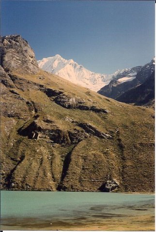
- Stunning snow-capped peaks, turquoise lakes, and the wonderfully gnarled red barked Quenua trees, make the Santa Cruz trek a memorable one. When combined with its easy access from Huaraz and the fact that it’s neither too long nor difficult, it is not hard to understand why it has become the most popular trek in the Cordillera Blanca.
Discover more from The Hiking Life
Subscribe to get the latest posts sent to your email.


