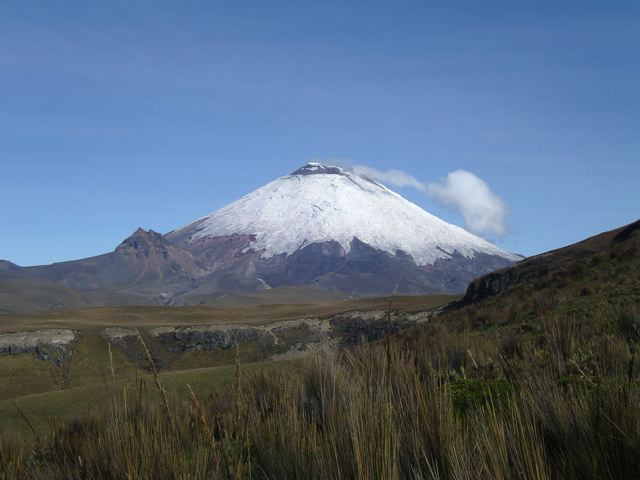
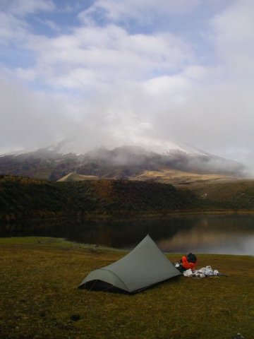
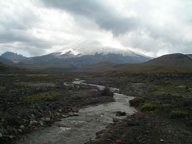
A high-altitude circumnavigation of Volcan Cotapaxi (5897 m), the second-highest point in Ecuador and one of the highest active volcanoes on the planet. I hiked the Cotapaxi Circuit in February 2004.
Distance: 49.7 miles (80 km) approx.
Avg.Time: 4 days
Difficulty: Easy to moderate.
Start / Finish:
- Pansaleo – Mulalo
- To access Pansaleo, take a bus from Quito to Machachi, and then walk or take a pickup the final 6km.
- From Mulalo, hitch or take a pickup to the crossroads with the Pan American highway, from where you should have no problems flagging down a bus bound for Quito.
Highest Point: 4833 m
Lowest Point: 3012 m
Season:
- The best times for trekking are June to September and December to January.
Maps / Info:
- Four IGM 1:50,000 topographic maps cover this trail: Cotopaxi [sheet 3991-4]; Sincholagua [sheet 3992-3]; Machachi [sheet 33892-2]; Mulalo [sheet 3891-1]. You can find these maps at either the IGM office or South American Explorers Club, both of which are in Quito. Click here to purchase online.
- I did not have the above-listed maps. I used the map and trekking notes contained in Lonely Planet’s Trekking in the Central Andes, which I found to be adequate for navigation purposes.
- Click here for general information on Volcan Cotopaxi.
- Bring all supplies from Quito.
Route / Conditions:
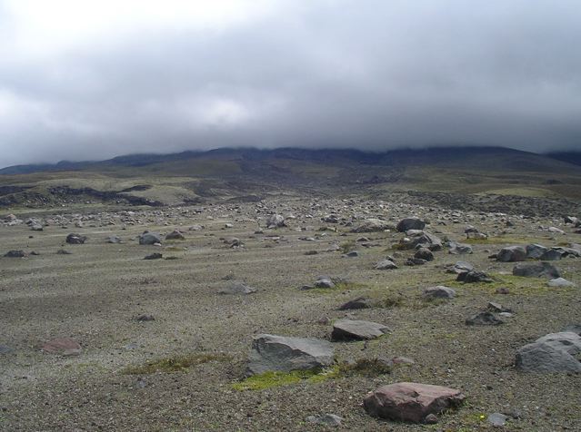
- Route finding is not overly difficult, as much of the trek is on little-used dirt roads and the volcano itself is usually in sight.
- As you are always above 3000m, make sure you are acclimatised before setting out.
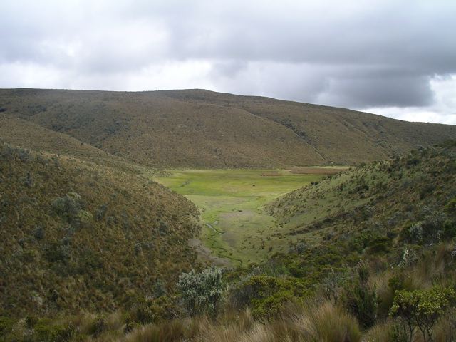
- Much of the route traverses the high Andean grasslands, known as Paramo.
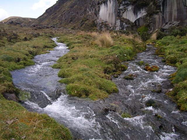
- Water is plentiful for much of the hike, with the notable exception of the final section between Cerro El Morro and Mulalo. Due to the amount of livestock in the area, all water should be treated.
Sleeping:
- Bring your own shelter. No problem finding places to camp.
Summary:
- A relatively easy hike with great views of Cotapaxi’s symmetrical snow-capped cone.
- By no means a popular hike, chances are you will see very few (if any) hikers on route.
Discover more from The Hiking Life
Subscribe to get the latest posts sent to your email.
