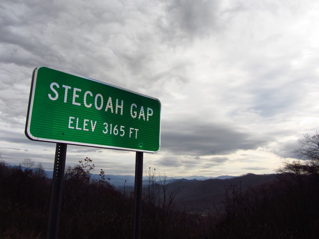
Winter is Coming

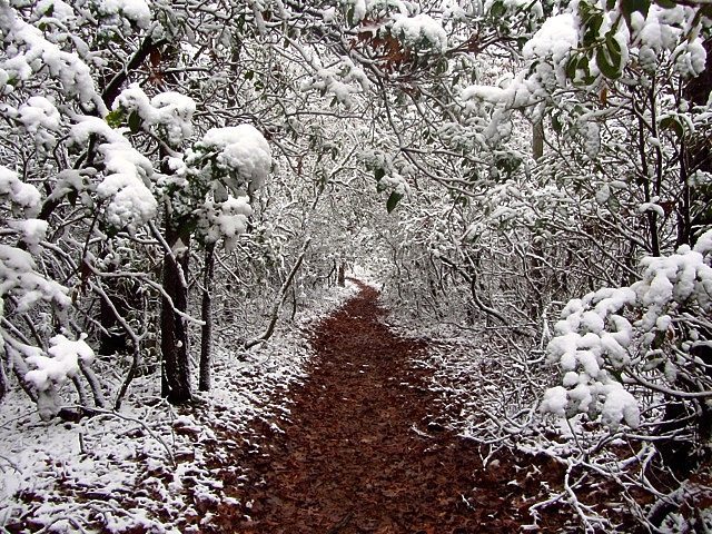
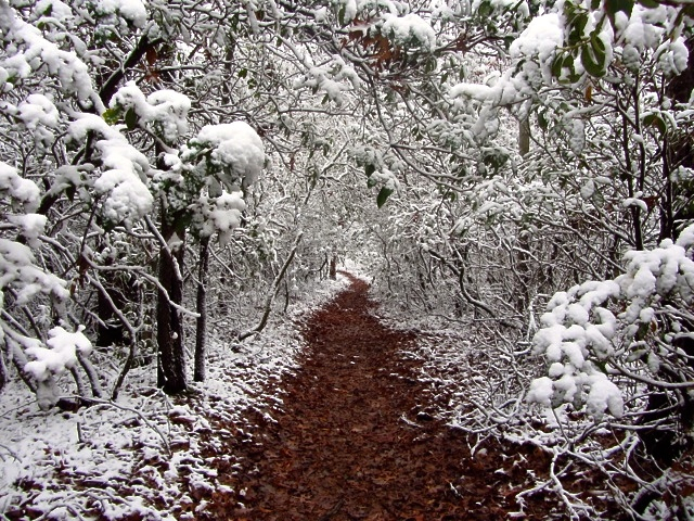
“The path wound its way through the snow laden trees. The forest had an ethereal quality, that made me feel as if I was floating rather than hiking. It was mid-November in the Appalachian mountains. Winter was coming.” ~ Cam Read More …
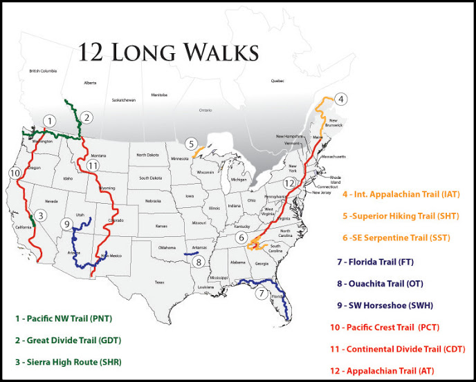
12 Long Walks Overview Map

July 2, 2011 to December 28, 2012……………..14,302 miles, 29 states, 4 provinces, 28 pairs of shoes…………..I originally planned on having the 12 Long Walks overview map ready in June……………2011……………timing never was my strong suit. Big thanks to Brian “Beardoh” Ristola Read More …

SST – Stage 4 – Benton Mackaye Trail

Distance:  299 miles (481 km) – This total includes the extra 3 miles from Standing Bear Farm to Davenport Gap, as well as the additional 8.8 miles from Springer mountain down to Amicoala State Park trailhead. Start:  Davenport Gap, TN Finish:  Springer Mountain, Read More …

SST – Part 3 – AT/Smokies

Distance:  95 miles (153 km) Start: Cheoah Bald, NC Finish:  Green Corner Rd, TN (turnoff to Standing Bear Farm) Time:  3.5 days (Nov.13 to Nov.16) Daily Average:  27.1 miles Highlights: Hot showers at the Fontana Dam shelter; affectionately known by long Read More …

SST – Stage 2 – Bartram Trail

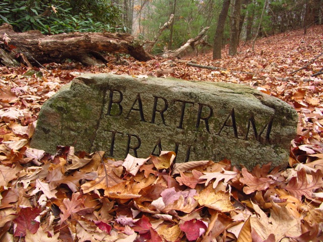
Distance:  116 miles (187 km) Start:  Russell Bridge, GA Finish:  Cheoah Bald, NC Time:  4.5 days (early Nov.8 to Nov.12) Daily Average:  25.8 miles (41.5 km) Highlights: The Georgia section of the Bartram Trail (about 38 miles) is distinguished by wonderful engraved Read More …

SST – Stage 1 – Foothills & Chattooga Trails

Distance:  73 miles approx. (117 km) Start:  Table Rock State Park, SC Finish:  Russell Bridge, SC/GA border Time:  3 days (late Nov.5 to early Nov.8 ) Daily Average:  24.3 miles (29.1 km) Highlights: Fall colours: Around the lower elevations of Read More …