Average Time: 3 days
Start / Finish:
- Te Anau
- No transport required. Simply walk 4.5km out of town to the trailhead.
Season: October – April.
Difficulty: Easy
Maps / Info:
- Online: For anything and everything pertaining to the Kepler Track, check the DOC website (i.e. Free downloadable brochure, trail map, trekking notes, logistical details, etc.).
- Guidebook: The Lonely Planet guide Hiking & Tramping in New Zealand has a map and trekking notes for the Routeburn. Available in Kindle format.
- GPS: See Wildernessmag.co.nz for GPX data and trekking notes for the Kepler.
- Supplies: All provisions can be purchased in Te Anau.
Route / Conditions:
- As with all the Great Walks, the Kepler is a proverbial highway of a trail, upon which it would be very difficult to lose your way.
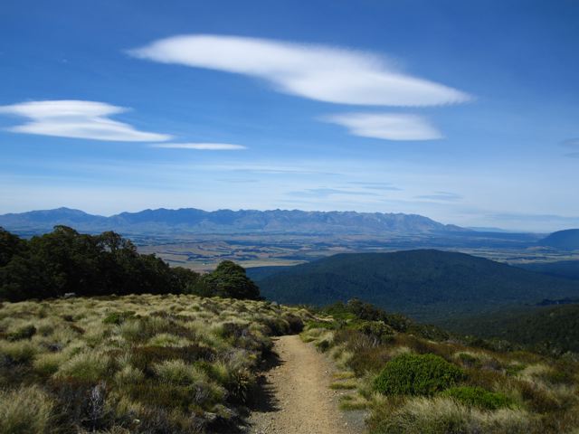
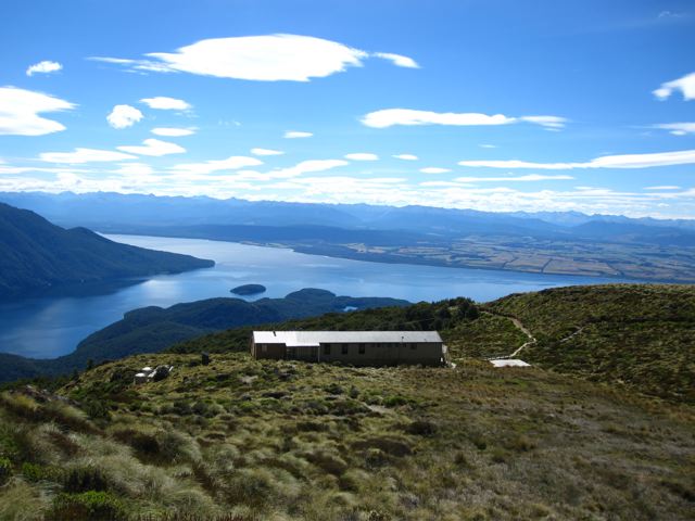
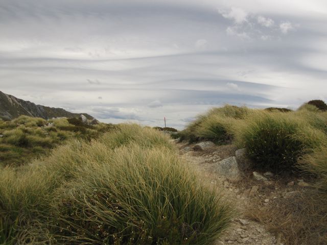
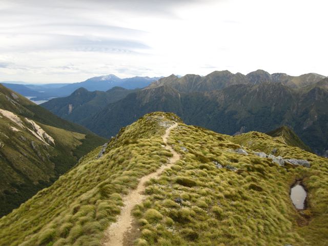
- The ridge section between Mt. Luxmore hut and Hanging Valley shelter is the scenic highlight.
- The short side-trip to the summit of Mt. Luxmore (20 minutes) is worthwhile, offering a spectacular 360-degree panorama in fine weather.
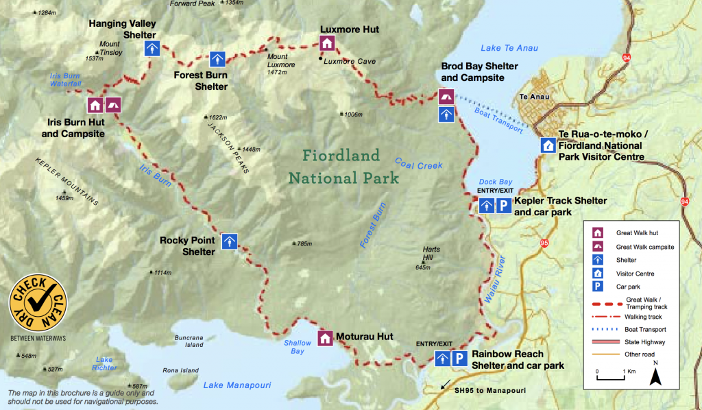
Kepler Track Overview Map (DOC Website)
- Despite the relatively mellow nature of the trail, the Kepler is nonetheless an Alpine crossing, and hikers should pack accordingly.
- Drinking water is available at the huts.
- If you want to avoid the crowds, consider hiking very early in the mornings or late in the afternoons.
Sleeping:
- Huts or camping. Both need to be booked in advance.
- Being a designated Great Walk, the Kepler is a very popular trail and attracts people of all levels of experience and fitness. As a result, the huts are often quite full. Bring a tent if you want some privacy.
- Lots of sandflies if camping at Iris Burn.
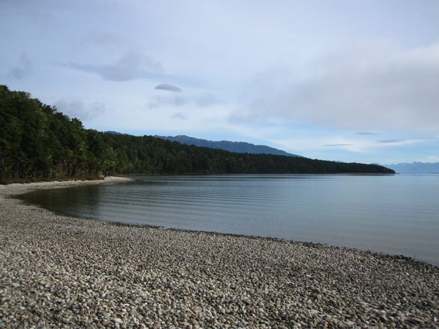
- Not long past Moturau hut, there is a side trail leading to Shallow Bay hut, a smaller (only six beds), cheaper accommodation option. Camping also possible. No bookings required.
- All water at Shallow Bay should be treated or purified. Alternatively, load up at Moturau Hut, which is just 20-30 minutes away.
Overview:
- The Kepler is the most accessible of the Great Walks, allowing walkers to start and finish in Te Anau without any of the usual associated transport costs.
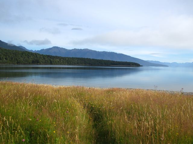
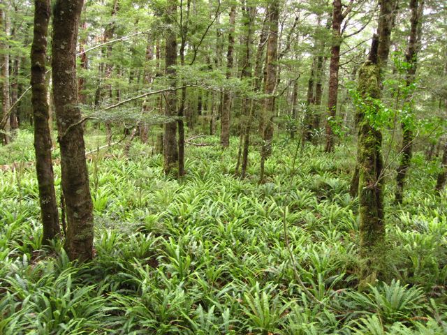
- As mentioned above, the ridge section after Mt. Luxmore boasts beautiful alpine scenery. The second half of the trail is virtually all through Beech and Podocarp forests.
Discover more from The Hiking Life
Subscribe to get the latest posts sent to your email.
