Distance: 65 miles (105 km)
Time: 5 days (including a rest day in Huaraz)
Start:
- Pompey
- Returned to the CBT via a colectivo minibus from the town of Chacas.
Finish:
- Pitec
- From Pitec, I got a 1 hr ride down the mountain to Huaraz, the regional capital. This was my “base camp” of sorts during the CBT (see below).
Maps & Info:
- Topographic maps: I used two mapsets during the CBT:
1. Alpenvereinskarte (German Alpine Club): Consists of two 1:100,000 maps which cover the entire range – 0/3a Cordillera Blanca Nord & the 0/3b Cordillera Blanca Sud.
2. Skyline Adventures: Also two maps split into north and south. Both are 1:75,000. The Skyline maps do not cover the most southern part of the Cordillera Blanca range.
- Base Camp: During my time in Ancash region of Peru, I was based out of the regional capital of Huaraz. A bustling city of 100,000, Huaraz is a mecca for climbers and hikers………..the Peruvian equivalent of Kathmandu.
- Albergue Churup: Whilst in Huaraz I stayed at the excellent Albergue Churup. A family run business headed up by indefatigable Juan Quiros Romero, it has very comfortable rooms, great food, helpful staff and is situated close to the centre. Highly recommended.
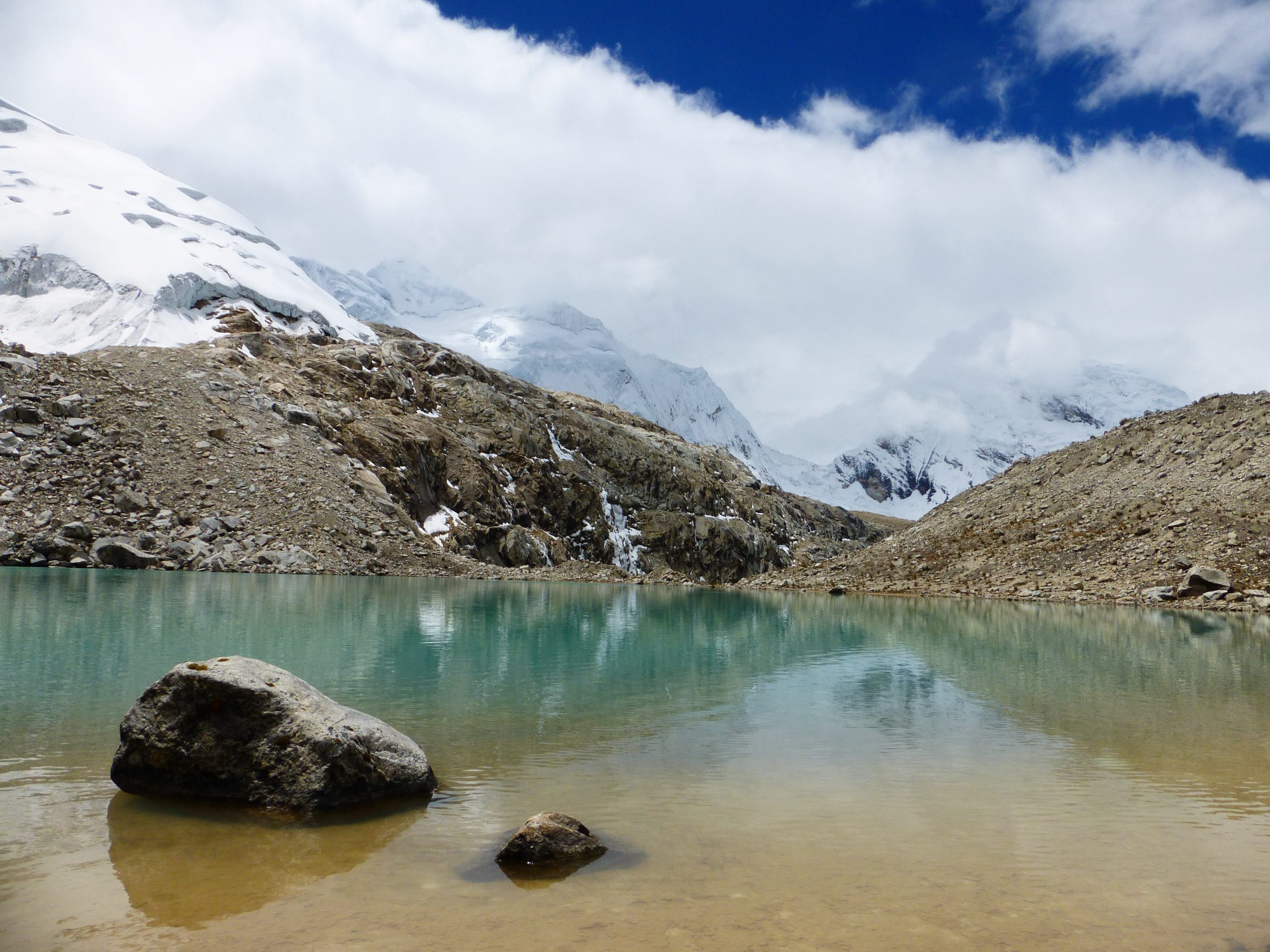
- High Points: Stage 2 of the CBT went over four passes. In the order in which they were traversed: Portachuelo Honda, Akilpo, Ishinca, and Choco.
Notes & Musings from Stage 2
Quebrada Honda
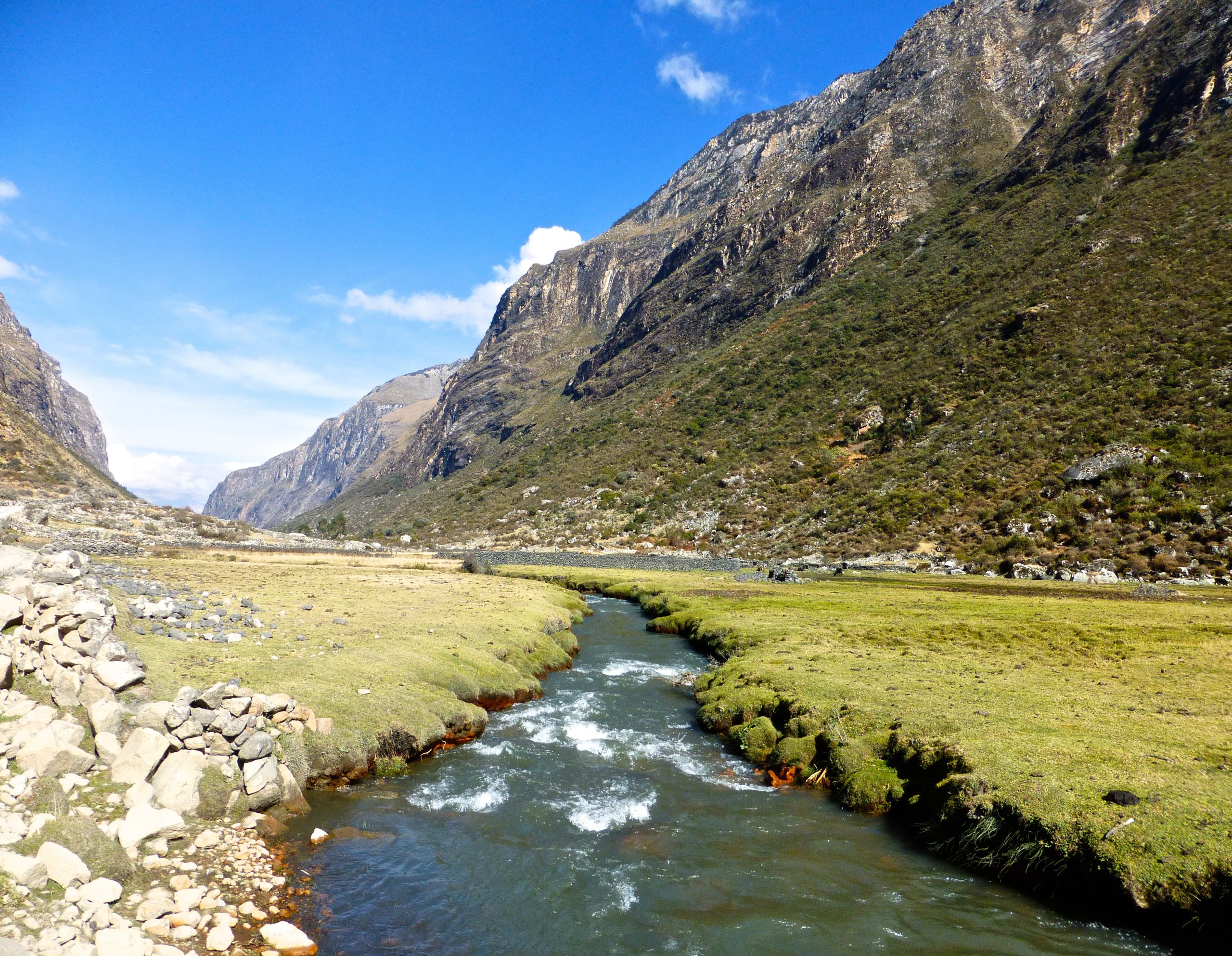
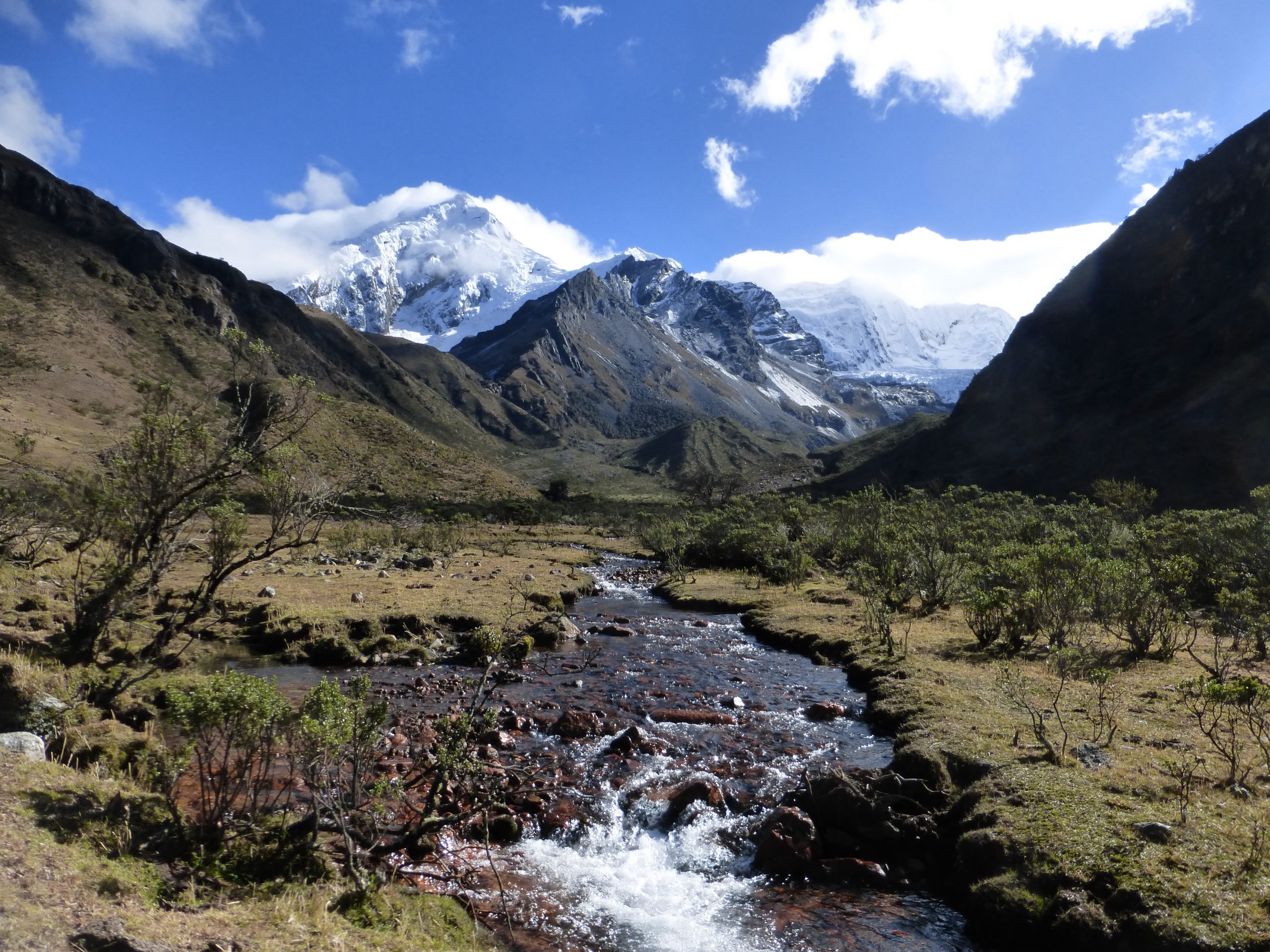
In 1996 I spent a couple of days hiking in the Quebrada Honda (translates to ‘deep gorge’). Much has transpired in this stunning glacial valley in the subsequent 18 years. Large scale mining operations are now in full swing at the far eastern end. During the CBT I descended into the gorge via Portachuelo de Honda, situated a few miles west of the mines entrance.
As of 2014, the only motorized traffic allowed in and out of the valley is that associated with mining business. No one seemed too bothered about a lone hiker.
The miners’ presence represents a very controversial issue in the local community. Technically speaking, most of the Cordillera Blanca lies within the boundaries of the Parque Nacional Huascaran. Unfortunately national park status doesn’t carry quite as much influence in this part of Peru, as does the bottomless pockets of the powerful mining companies.
Chester & the Enchanted Forest
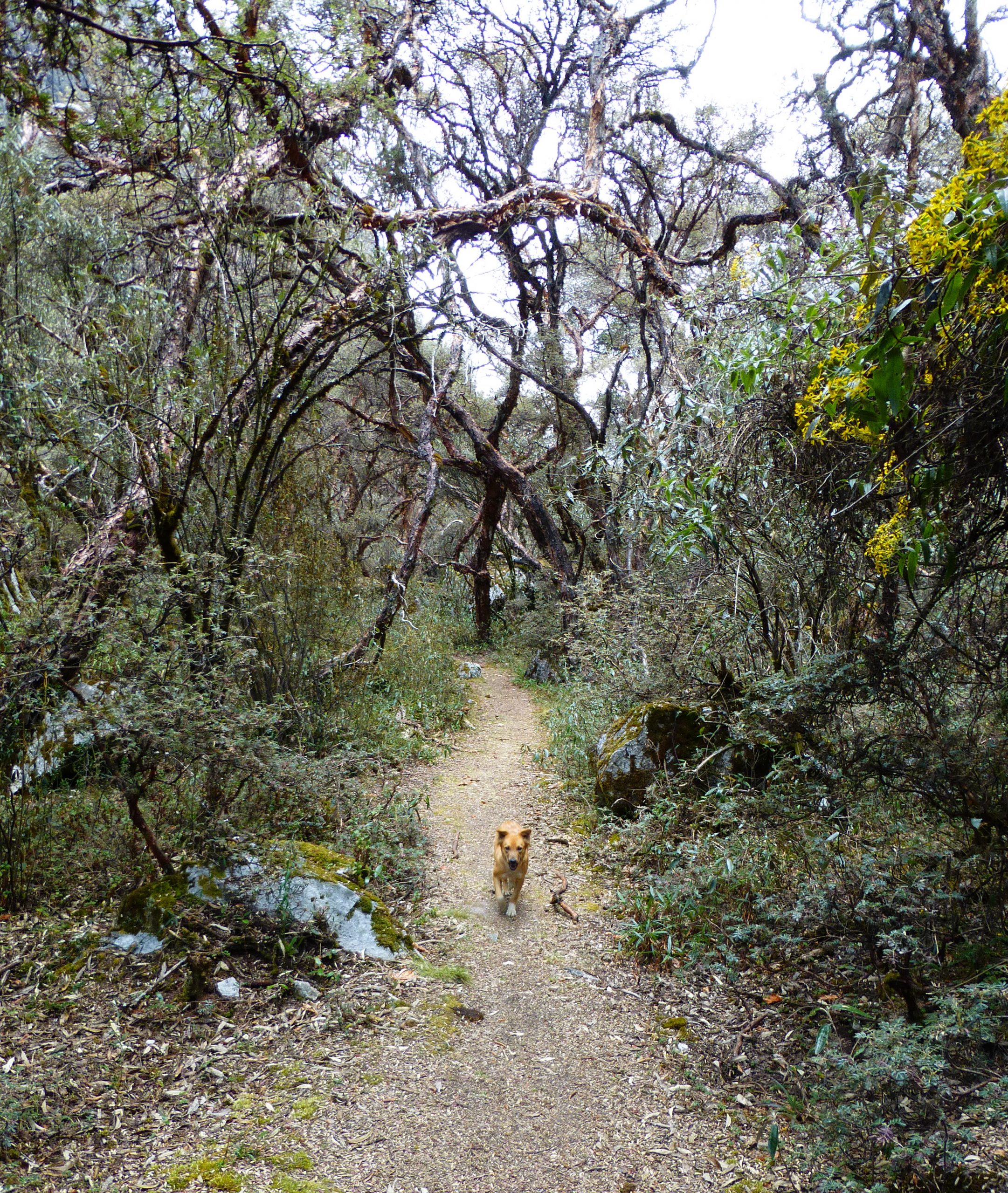
More than 90% of the hiking on the CBT was out in the open. Forest stretches were generally short and few and far between. The lone exception was Quebrada Akilpo, locally known as the enchanted forest. A gorgeous section that wound its way through stands of quenua trees, it represented the one and only time on the CBT that I wasn’t walking by myself. My companion was a dog that I called Chester.
I name all stray dogs that follow me, Chester. It comes from one of my favourite tunes, The Weight, by “The Band.” (Note: In the song, Chester is actually the name of the owner and ‘Jack’ is the name of his dog).
Refugio Ishinca
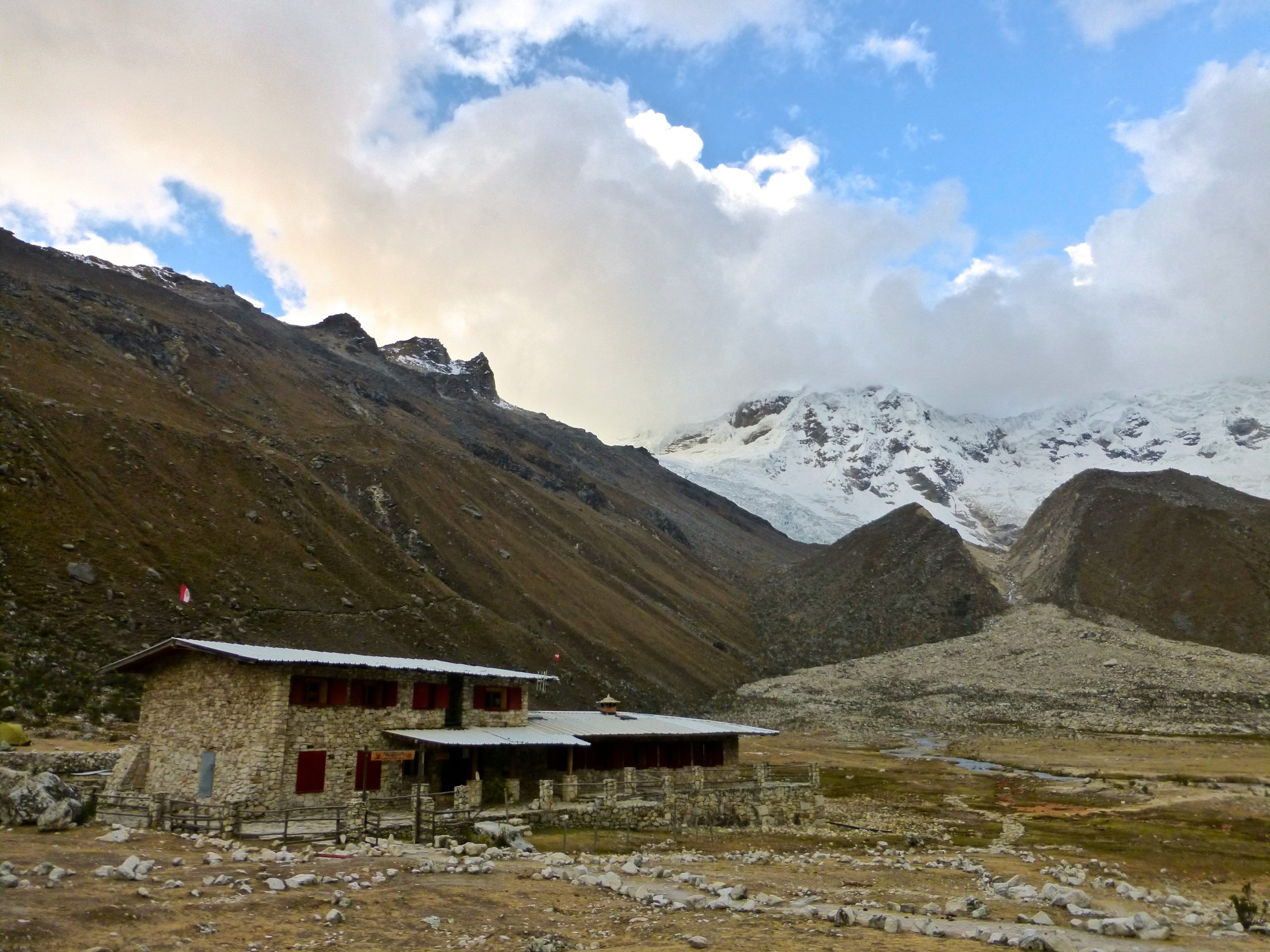
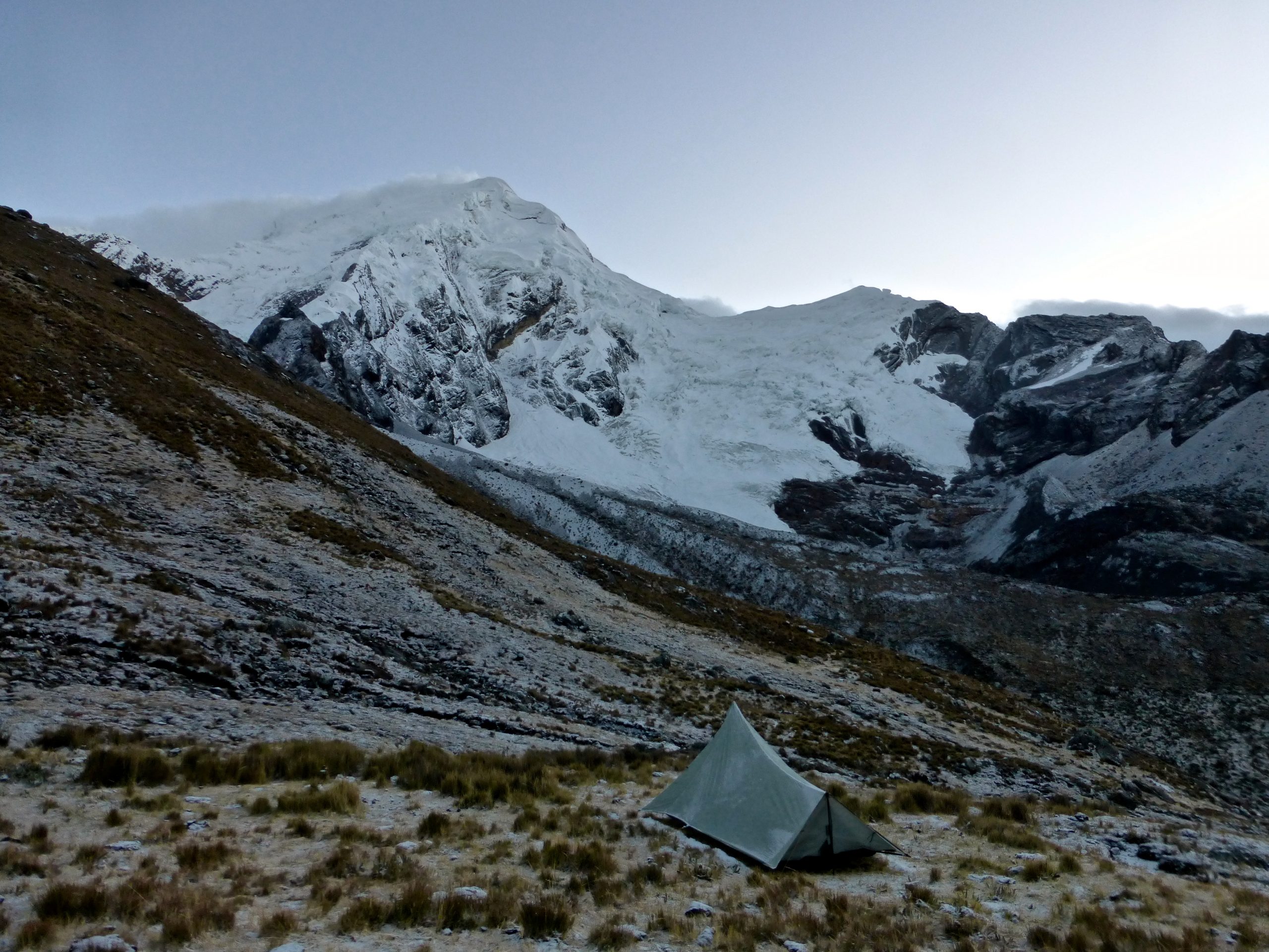
Situated in the shadows of Toclarraju (6032m) and Polcaraju (6110m) peaks, Refugio Ishinca was a great surprise. Half expecting a semi-dilapidated backcountry outpost, what I got instead was comfy beds, good food, helpful staff, and even a solar-powered shower! The refuge was run by a helpful young guy by the name of Juan, who had been working in the region in a multitude of capacities for the last twenty years (since he was 7 years old!). For anyone thinking of doing the CBT in the future, I highly recommend a stop at this impressively situated mountain hut.
Slow-Going
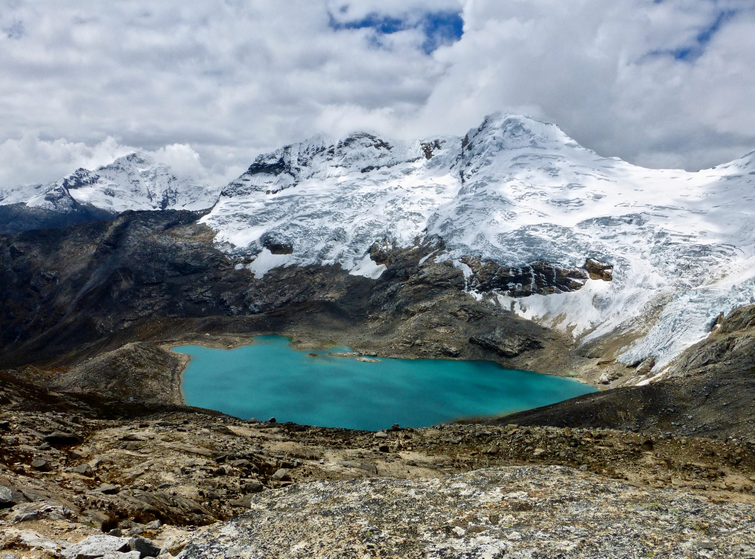
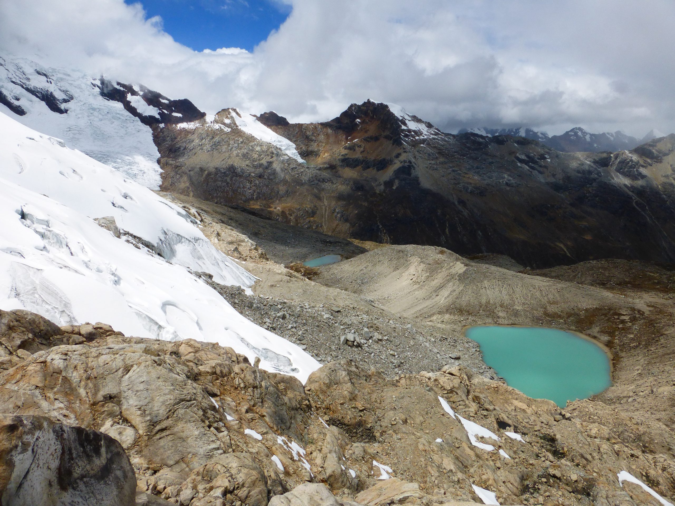
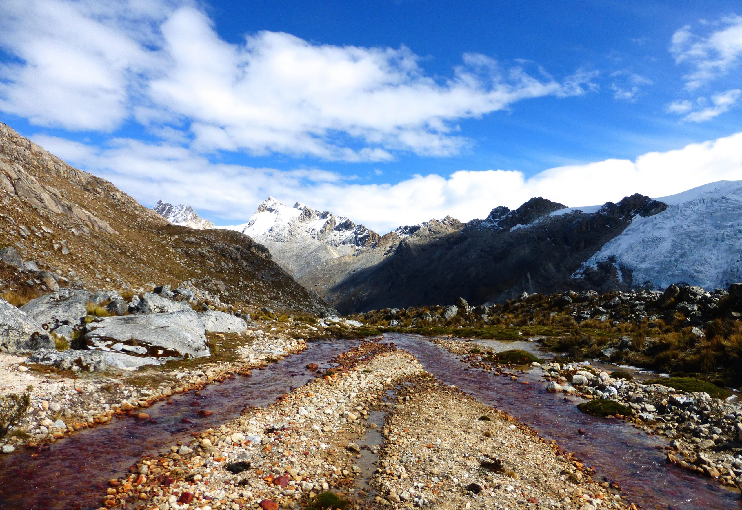
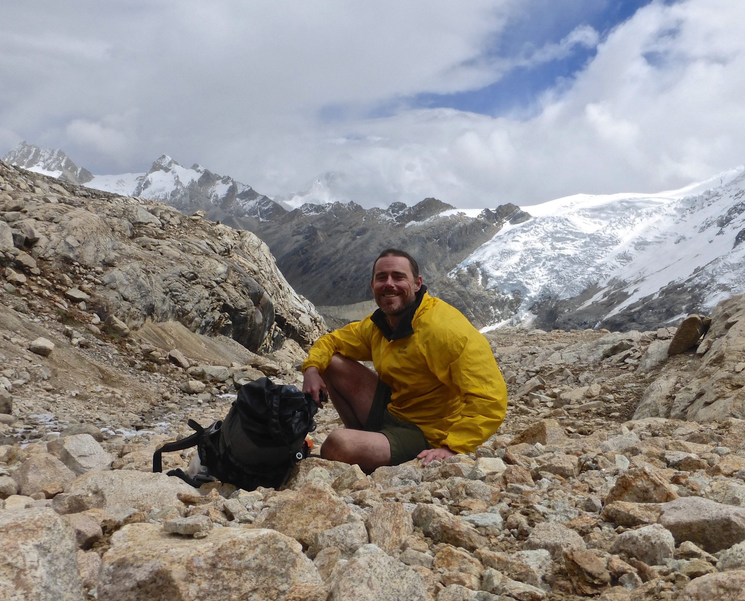
During Stage 2 of the CBT, I went up and over two passes that were both nameless and trailless. I unimaginatively called them Akilpo and Ishinca after the approach valleys leading up to the crossings. At 5215 meters (17,109 ft), Ishinca was the highest of the 23 passes on the Cordillera Blanca Traverse. Definitely one of the scenic highlights of the entire journey.
The Polish Ghost
I left Quebrada Cojup just before 3 pm, on the penultimate day of the second stage. Feeling strong, I figured I had plenty of time to negotiate the steep, difficult, but relatively short climb up and over Choco Pass (5020 metres / 16,469 ft) before it got dark.
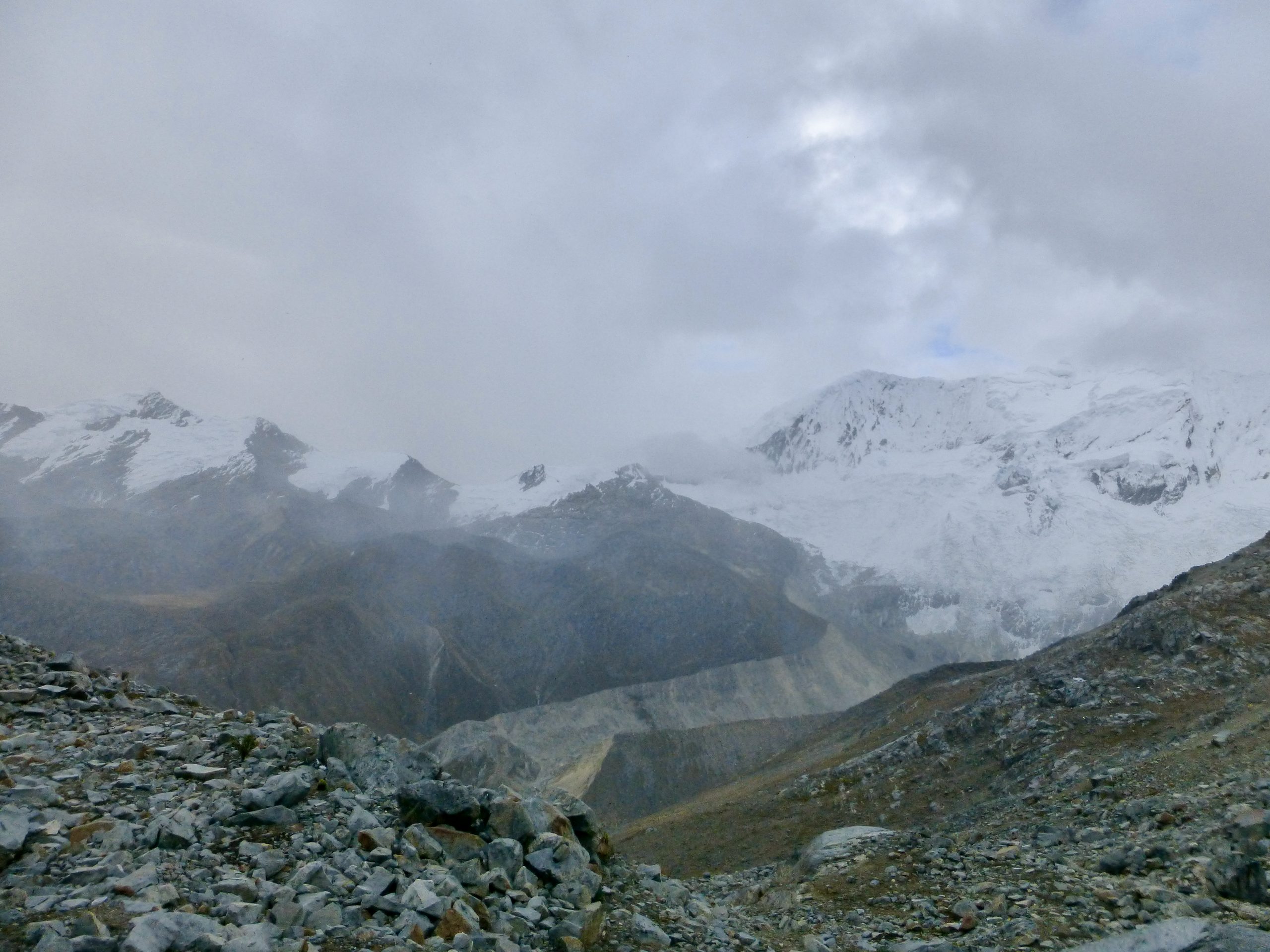
Half-way into the ascent the wind picked up and it started to snow. The fog rolled in. Temps were dropping fast. Not long after a lone figure emerged out of the clouds. Descending slowly, the person was carrying a huge load on their back. It turned out to be a young twenty-something from Poland.
The guy was wearing jeans, big army boots, and had a pack that he told me weighed 26 kg (57 lbs). He may have been underestimating. It was huge. He carried no compass or GPS. His sole means of navigation was a palm-sized sketch map that he picked up from the tourist office in Huaraz. It was 3.50 pm and he told me it had taken him 8 hours to come up and over Choco Pass.
Looking at my comparatively tiny pack and trail running shoes, he shook his head and said, “I don’t think you should continue any higher. You won’t make it up and over the pass before it gets dark.” I nodded and assured him I would be fine. After chatting for a few minutes, we both went our respective ways. I was relieved that he was descending. He was obviously a strong bloke, but to be out in those conditions without the appropriate skills or equipment was asking for trouble. Cold, wet, and unsure of your location is not an ideal combo at 16,000 ft above sea level when the weather has taken a turn for the worse.
Related Posts
- Cordillera Blanca Traverse Overview
- Cordillera Blanca Traverse – Stage 1- Hualcallan to Pompey
- Cordillerra Blanca Traverse – Stage 3 – Pitec to Chavin
- Cordillera Blanca Traverse – Stage 4 – Chavin to Pastoruri Glacier
- Gear List: Cordillera Blanca Traverse
Discover more from The Hiking Life
Subscribe to get the latest posts sent to your email.
Hey Cam,
I’m getting ready to my own version of the CBT inspired by your trip! Heading there on May 17!
Anyways, I can’t figure out if you went over “Ishinca Pass” via the east or west side of Nev. Ishinca. That is to say, I can’t say if your “pass” was the col b/w Ishinca and Ranrapalca, or b/w Ishinca and Palcaraju.
From what I can tell on the topo maps and Google Earth, I’m leaning towards the east col (the one between Ishinca and Palcaraju) being preferable, i.e., less snow and less steep. However, the fact that there’s a Refugio called “Refugio Vivaque” directly below the western pass (the one b/w Ishinca and Ranrapalca), I’m second guessing whether that’s the best way up and over or not.
Do you remember which side of Nev. Ishinca you went over for your “pass”? Do you remember passing Refugio Vivaque on the way up to the pass?
Thanks so much!!
Austin
Hi Austin,
Ishinca Pass – S 09 23.163 W 77 23.817
I didn’t go by Refugio Vivaque, though I did stay at Refugio Ishinca.
I’ve received numerous enquiries in regards to this route, and I think I’m finally going to get around to putting together a mapset/google earth route and guide for people that are interested.
Best of luck on your trip.
Cheers,
Cam
Hey Cam,
Any update on such a google earth route? I’m piecing a route together myself and thought to see if you had made any progress.
Tom
Yes, have the route mapped out, but won’t be putting anything up on the website until after I return from holidays in November.
Okay thanks! Enjoy the holiday!
I was thinking of doing something similar early December (I know the season won’t be ideal…).
No worries. Yep, December is not great. In an average snow year, I suspect some of the route’s passes might not be viable.
Hi, did you managed to make a map? Thanks a lot