At a Glance
Distance: 46 miles (74 km)
Time: 3 days
Start: Pitec
Finish: Chavin
Stage 3 Notes
Day 11
Upon arriving back at the Pitec trailhead, I met a park ranger by the name of Pedro. Pedro the Park Ranger. Not a bad name for a Discovery Channel series. We chatted over mandarines for about 25 minutes. He was initially skeptical in regards to my journey. Indeed, when first laying eyes on my small backpack and trail runners, he gave me a look as if to say, “gringo, you have as much chance of traversing the Cordillera Blanca as a one-legged man does of winning a bum kicking contest.” He eventually came around, and by the end of our conversation, he was enthusiastically doling out route advice for the upcoming section and beyond.
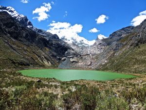
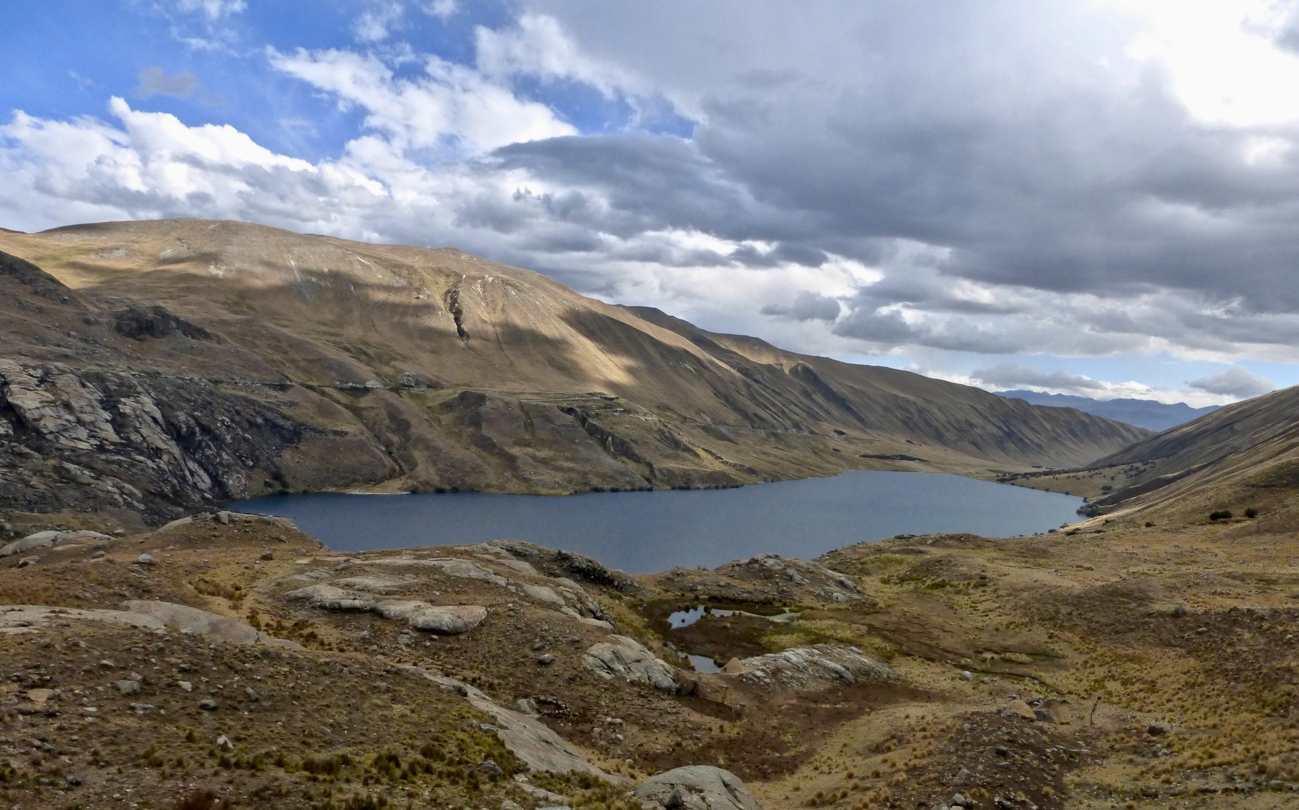
I set off for the Quebrada Shallup around 9.15 am. The original idea had been to hike up to the valley’s eastern terminus and then ascend the slopes/cliffs immediately to the south of the jade-colored Lake Shallup.
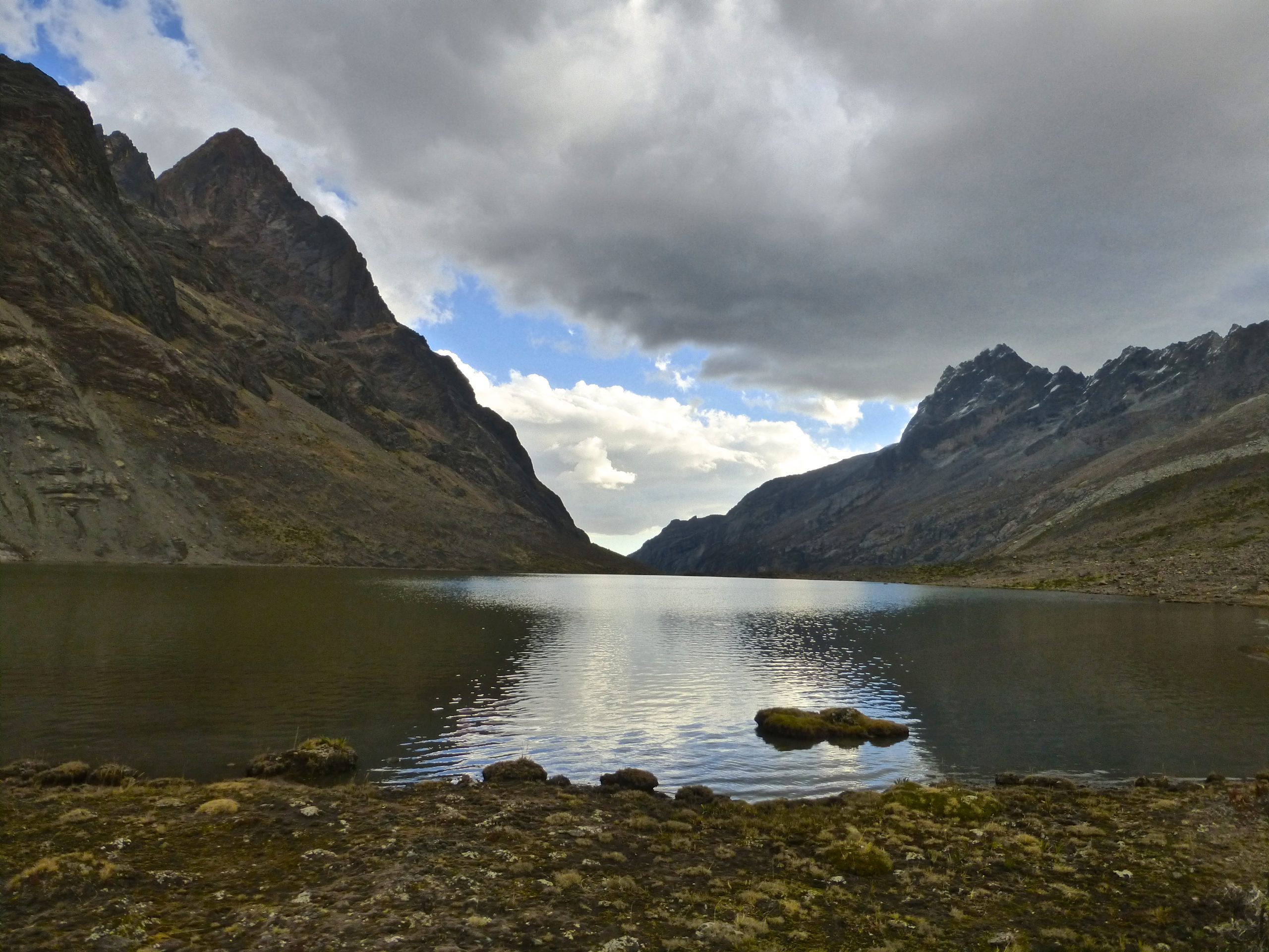
Plans changed after chatting to Pedro. He was adamant that the superior route up and over to the next valley lay further west. Despite some reservations, I followed his advice. After checking out the gorgeous Lake Shallup, I retraced my steps back down the valley and ascended at the point that Pedro suggested. Steep, trailless terrain combined with high altitude made for slow going. Zig-zagging my way up, it took a good 4 hrs to reach what I deemed to be the “pass.”
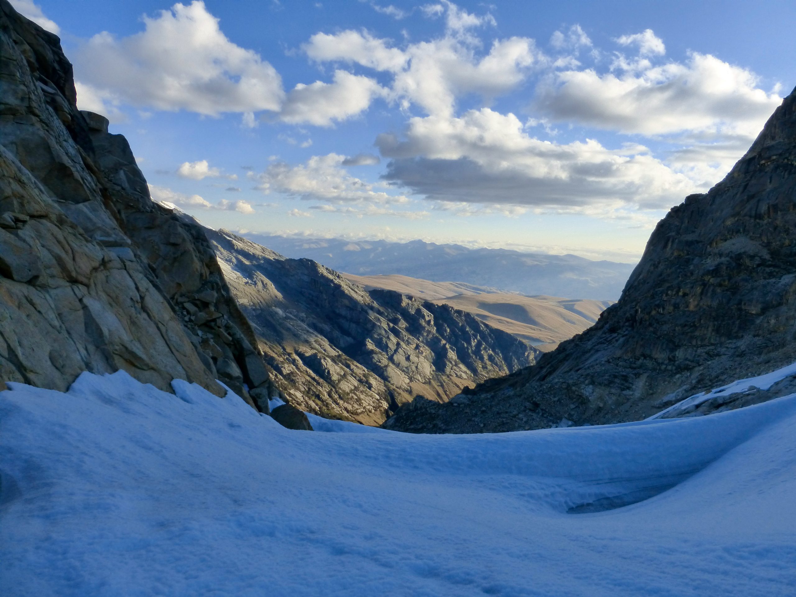
The southern side of the pass was snowbound. Gradual at first, the ensuing descent soon became steeper. I broke into a wry grin, “I knew I should have packed the microspikes and ice axe for this section.” Slowly but surely, I kicked steps and switchbacked my way down. After about 45 minutes, I was clear of the icy snowfield. Darkness had fallen.
The final hour of the descent was made by headlamp. Picking my way through a combination of scree and overgrown terrain, I reached the bottom of the Quebrada Rajucolta just after 6 pm. It had been a challenging day. Time for food and sleep.
Day 12
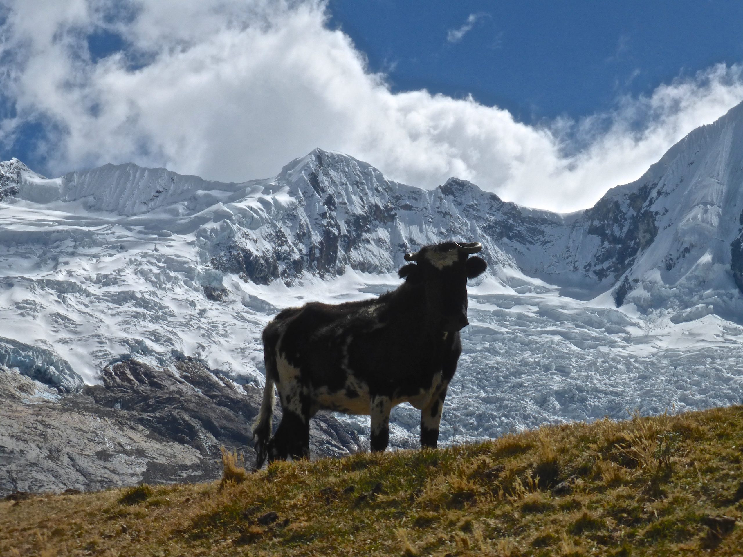
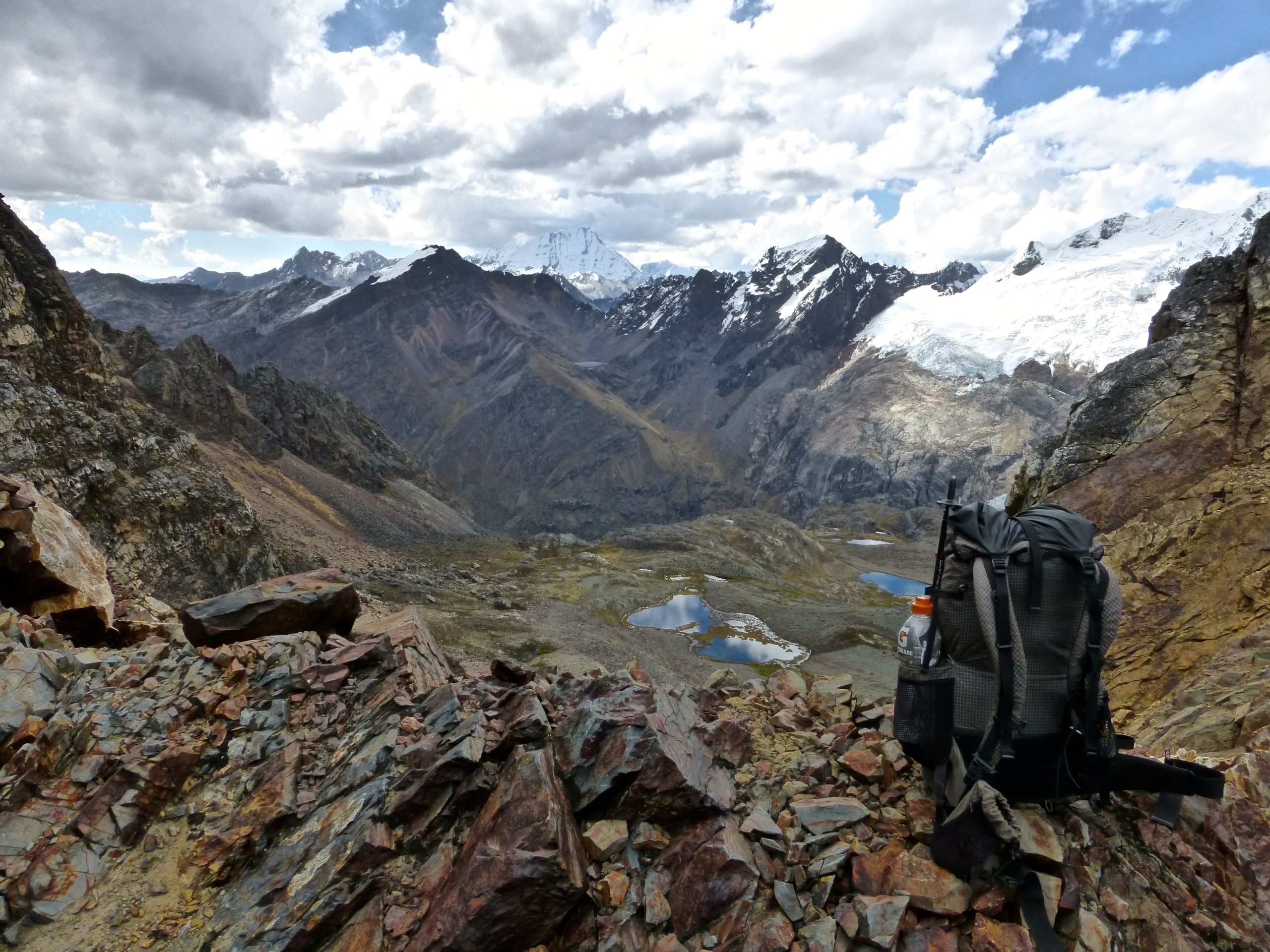
I made a latish start. Just a few miles of easy dirt road walking to Lake Rajucolta. After a scenic breakfast overlooking the lake, I began to climb. Again. The views were magnificent. Snow-capped peaks, alpine lakes, and at around 4800 metres above sea level, I had the Peruvian equivalent of a “Mexican standoff” with a high-altitude bovine.
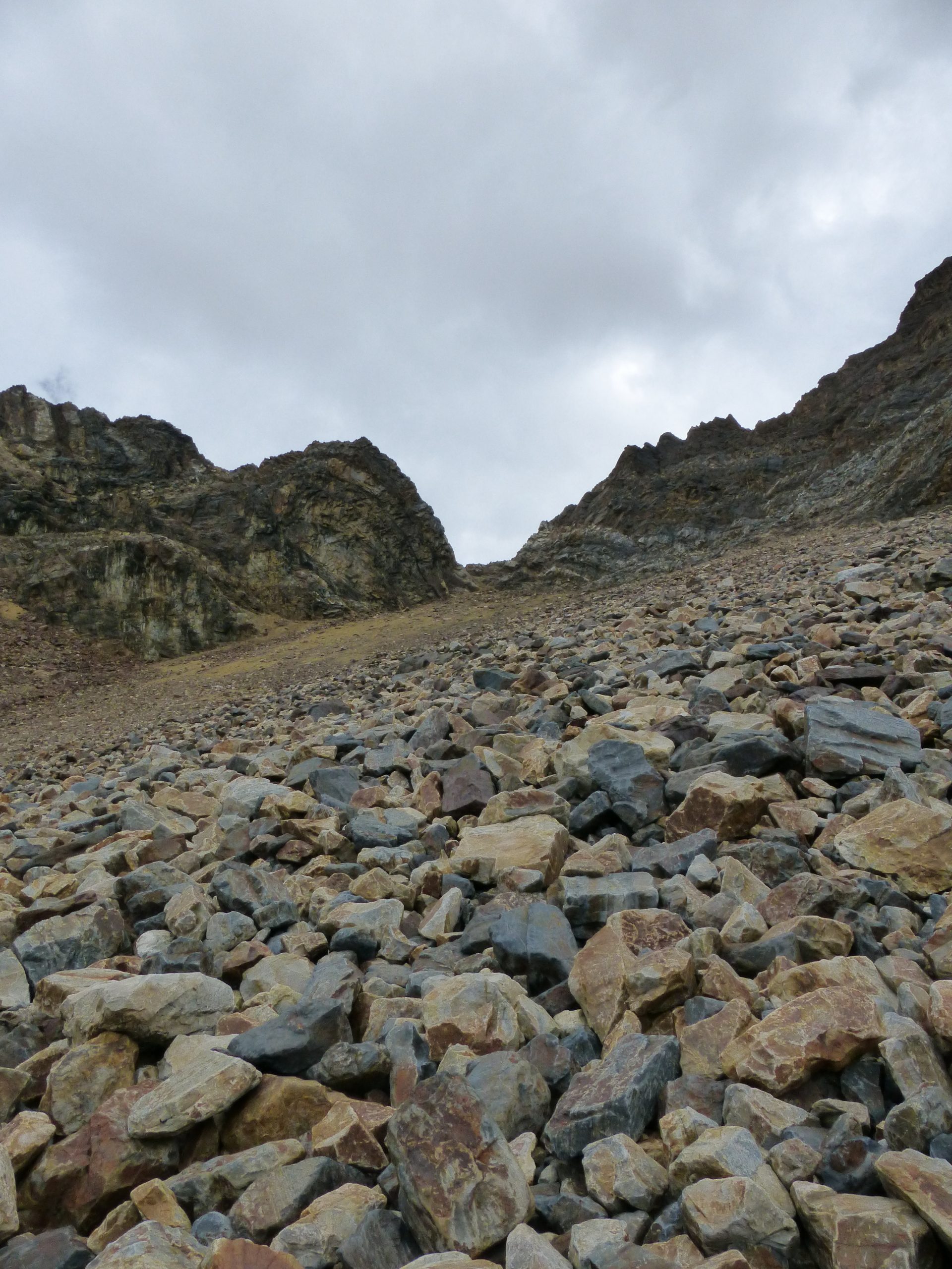
The final kilometer to the pass was scrambling up a steep scree slope. Two steps forward, one step back. I drifted to the side of the field where the footholds were occasionally solid. Not long after midday, I attained the 5143m (16,873 ft) Cashan Pass.
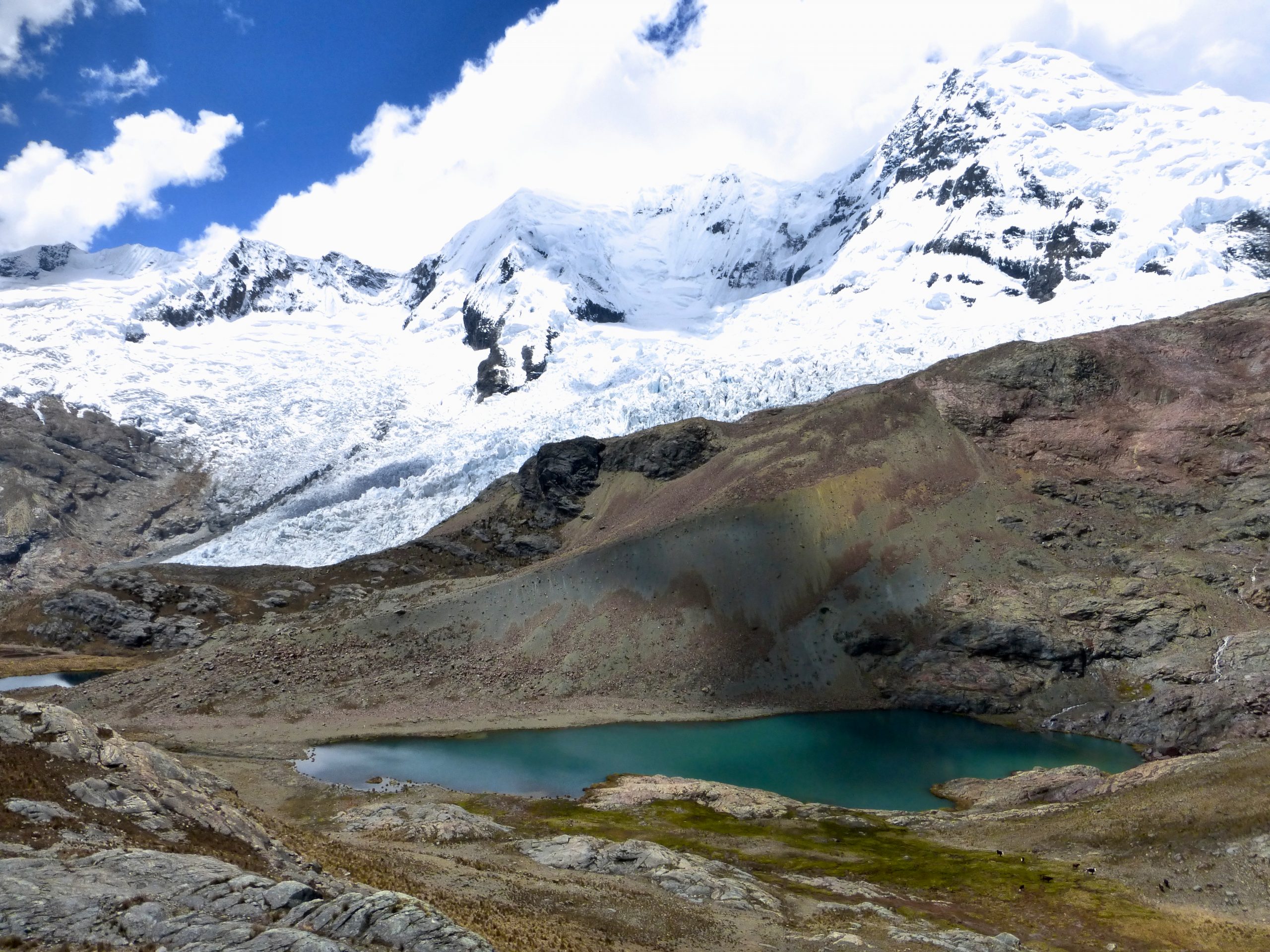
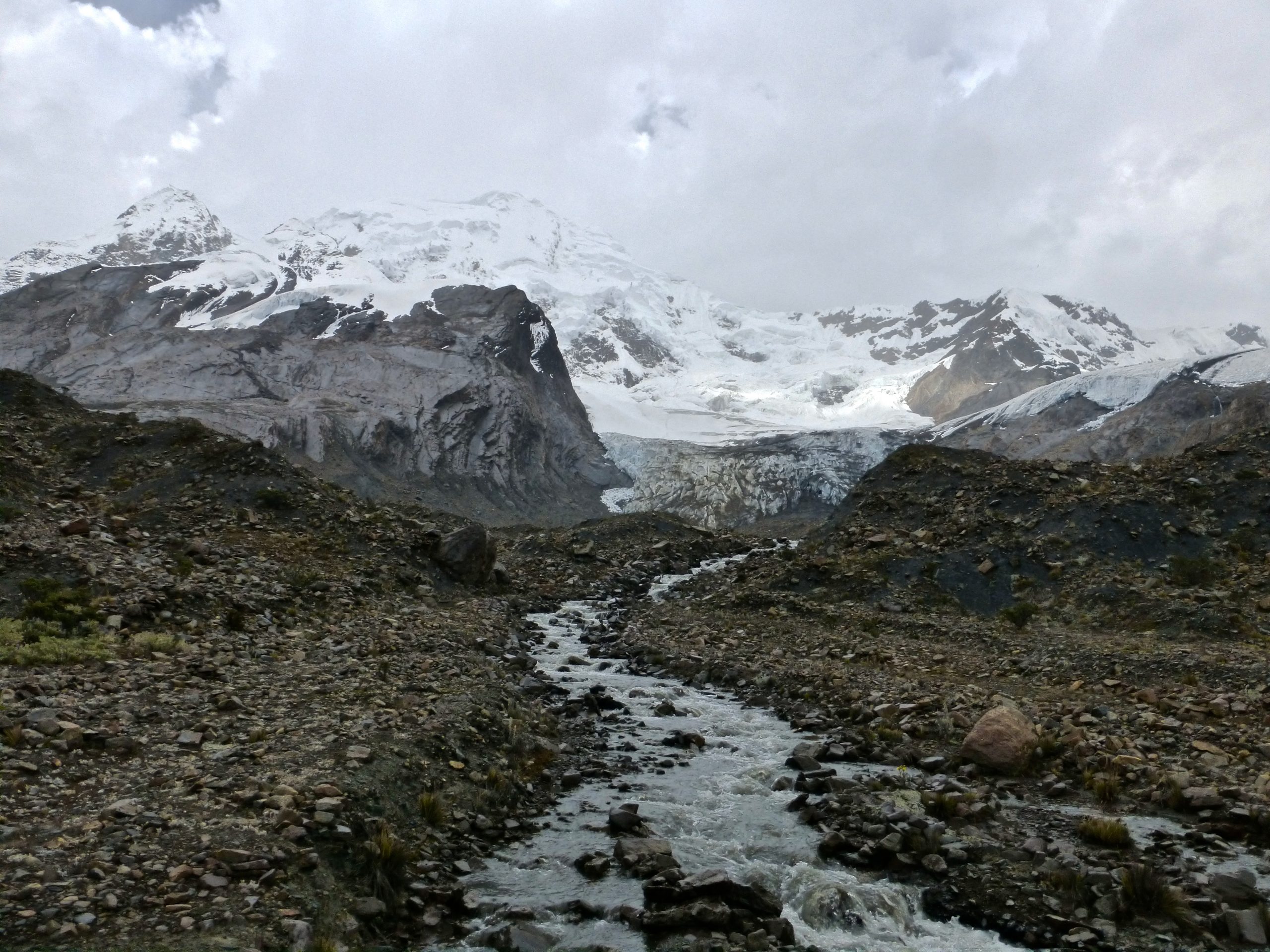
Descending from the pass into neighbouring Rurec valley, the scenery was once again impressive. It was raining steadily and temps were just above freezing but I didn’t care. At each and every turn there were glaciers, streams, boulder fields, and most notably, the stunning Lake Tarahua.
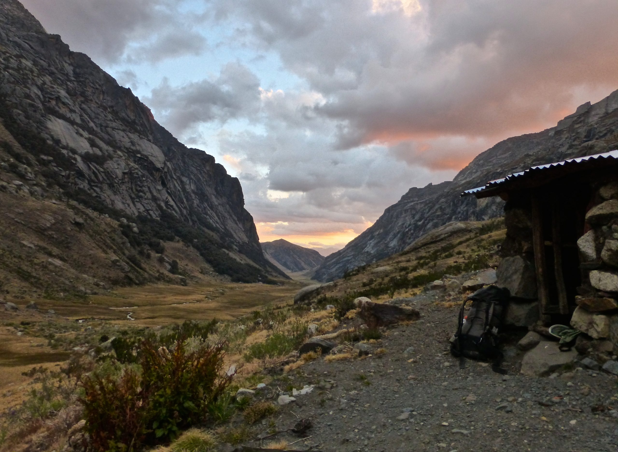
With an hour of light remaining, I began to look for camping options. Not much in the way of trees at these altitudes; sheltered areas are a dime a dozen. As I gradually descended, I spotted a lonely structure off in the distance. No one else around. Worth an inspection.
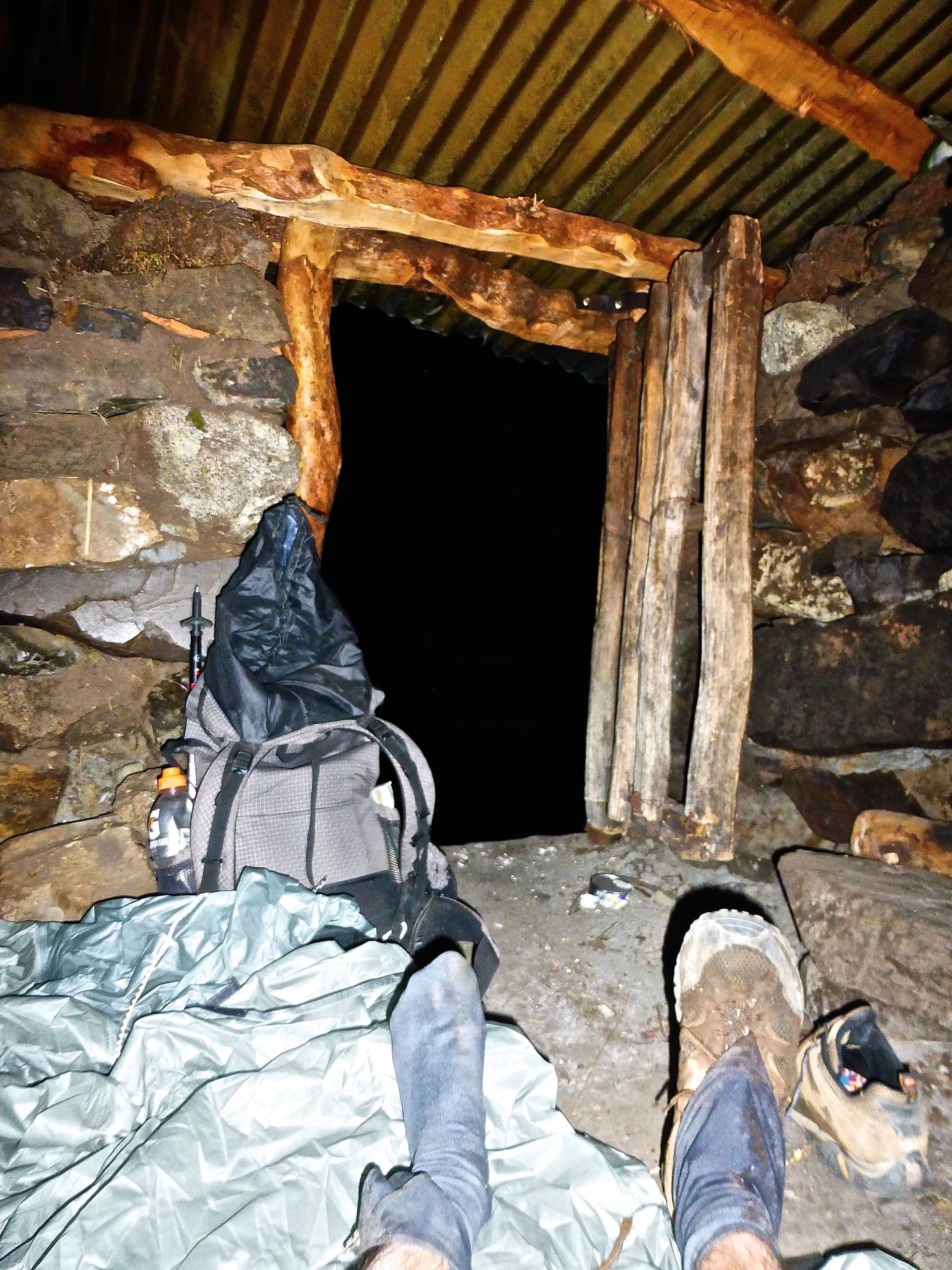
It was a shepherd’s hut. From the dusty, unkempt interior, it looked like it hadn’t been used in a while. As I weighed up my options…….”should I stay or should I go?”………it began to rain heavily. Decision made.
Over the years, I can’t recall the number of times that I have come across random unexpected shelters in the middle of nowhere right when they were needed. Huts, caves, overhangs, lean-tos.
Karma? Luck? Being observant? A combination of all of the above?
Using my tent as a groundsheet, I spread out my wet gear, laid out my sleeping mat and settled in for the night. I lay awake until 11 pm. Listening to the rain on the metal roof and reading Robinson Crusoe. It was the first time that I had revisited Defoe’s classic since I was 16 years old.
Day 13
The third and final day of Stage 3. It was a cross-country affair from start to finish. Beginning with some muddy sections in Rurec valley, followed by a short and steep climb up to a pass that I not-so-imaginatively called “Rurec.”
Sitting just below the high point on the other side, I spied the route ahead. My original idea had been to drop straight down and bee-line it across the valley floor. However, I was forced to rethink upon seeing the swampy nature of the terrain below.
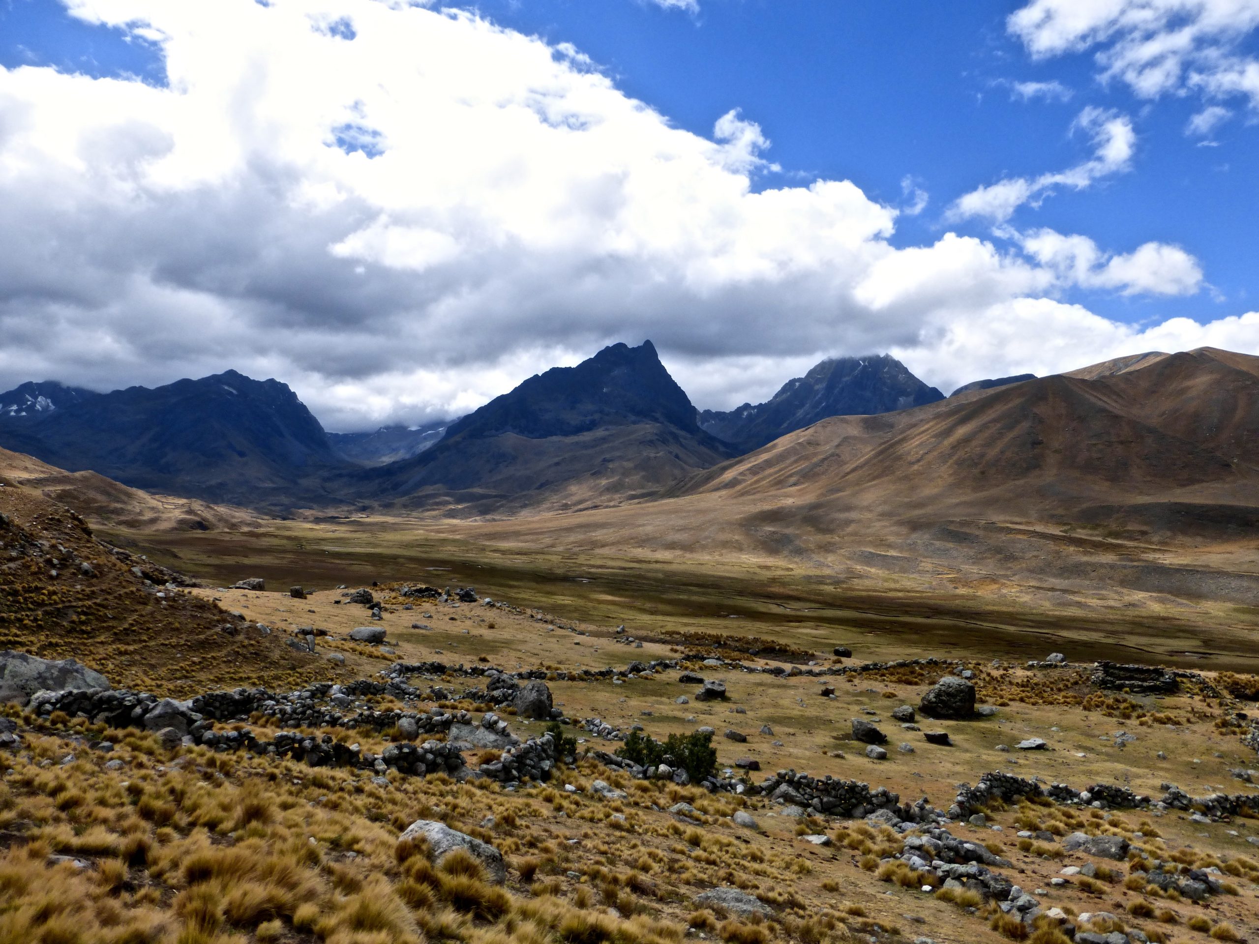
Skirting around to the SW via some dilapidated walls, I passed by more shepherds huts and quickly reached the other side of the Quebrada. My goal was a windswept ridge which, according to my maps, looked like it would take me a good part of the way towards Lake Queracocha, the ending point of stage 3.
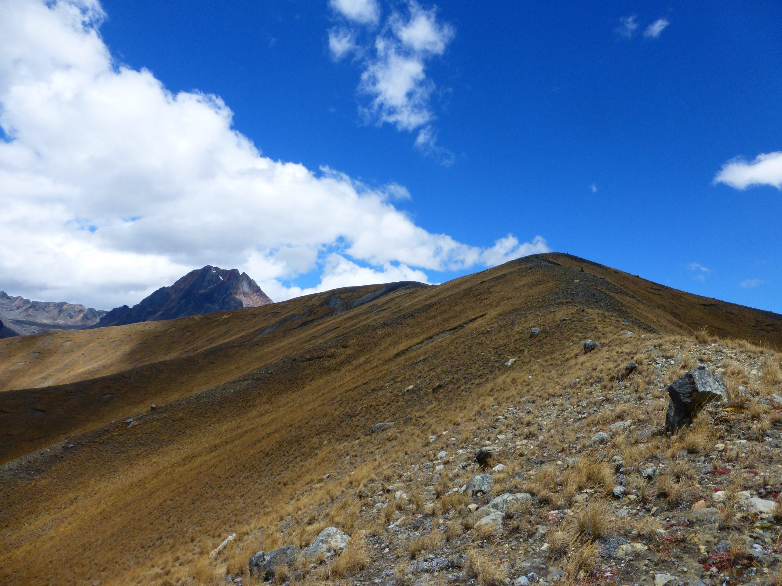
This turned out to be the case. I spent the next few hours walking into 60 kilometers per hour winds along the featureless crest. With the spectacular Pukaraju peak looming to the east, the route was pretty much a straight shot south. I couldn’t help but be reminded of the Scottish highlands. Just a drier, high-altitude version, without the promise of a pub or inn at day’s end.
As 3 pm rolled around, I went up and over the final pass of the day. A relatively gentle affair at 4600 metres. No scree, not particularly steep, just a long funnel of overgrown tussock grass. From the pass, it was a relatively easy descent to Lake Queracocha. Not too much in the way of trail, but navigating was easy enough in the open terrain.
I made it to the road overlooking Querococha just after 5pm. Not more than 10 minutes later, I had flagged down a packed-to-the-brim minibus bound for Chavin, a small town situated on the eastern side of the Cordillera Blanca. I somehow managed to squeeze in between a cheery local lady holding her toddler and an ancient gentleman who must have been pushing 120.
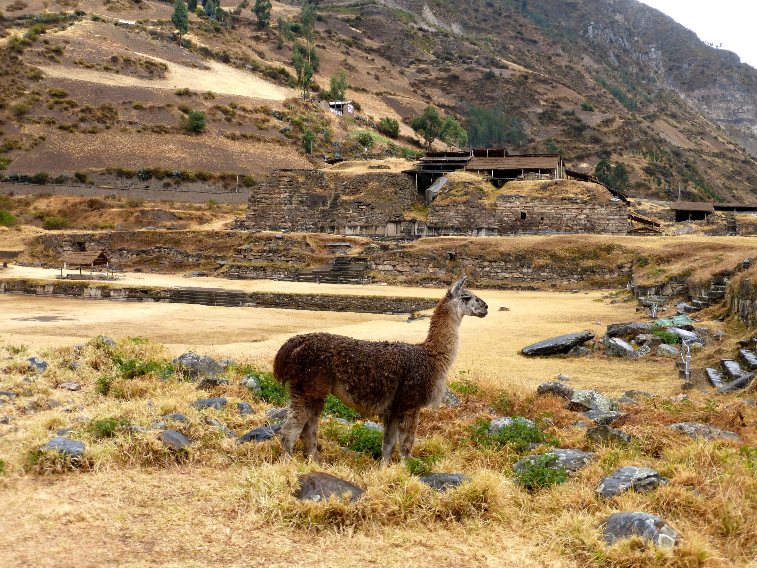
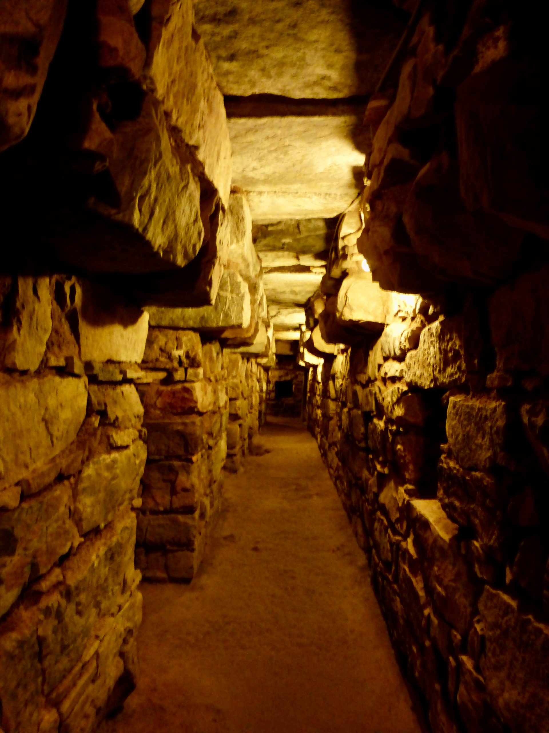
I stayed the night at a comfortable hotel on the main plaza. Went out for dinner, watched some tennis on TV, and slept like a bear in winter until awoken by church bells at 7 am. The following morning I spent a few hours exploring the impressive archaeological site (which I had previously visited in 1996) of Chavin de Huantar. Dating back more than 3000 years, it represented the religious centre of the Chavin people, one of the major pre-Inca cultures of Peru.
By midday, I was back at Lake Queracocha, ready to begin the fourth and final stage of the CBT to Pastoruri Glacier.
Related Posts
- Cordillera Blanca Traverse Overview
- Cordillera Blanca Traverse – Stage 1- Hualcallan to Pompey
- Cordillera Blanca Traverse – Stage 2 – Pompey to Pitec
- Cordillera Blanca Traverse – Stage 4 – Chavin to Pastoruri Glacier
- Gear List: Cordillera Blanca Traverse
Discover more from The Hiking Life
Subscribe to get the latest posts sent to your email.

Wow, so many unknown passes. Now I understand why i can find them on map :)).
Hi, please, i am thinking about Rurec pass.. Did you go from Laguna Tarahua south through the valley and then south to Lake Querecocha? So “Rurec pass” was around 4300 metres and the second which you mention 4600 metres?
Do you have idea how frequent are buses from Laguna Querecocha to Chavin? Like every hour or 2-3 per day, if you remember :).
Thanks a lot
Hi Michal,
The grassy pass I called “Rurec” is at 4348m (-9.63821, -77.36587).
From Tarahua I descended the valley SSW for around 10km, before crossing the river and ascending to “Rurec.”
I don’t know the bus times to Chavin. You could probably get that information in Huaraz. That said, it shouldn’t be difficult getting a ride as there seems to be a steady flow of traffic. Just stick your thumb out when you reach the road, and someone should come along before too long.
All the best,
Cam